Nicholas
New member
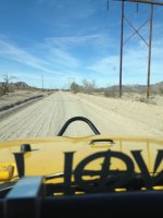
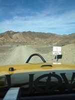
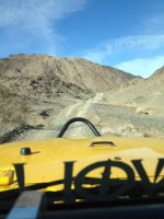
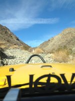
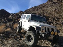
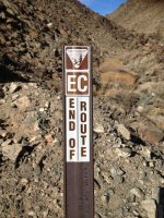
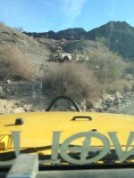
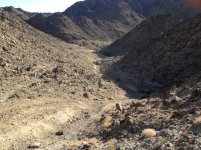
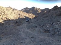
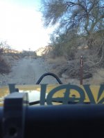
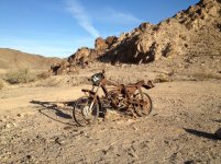
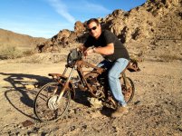
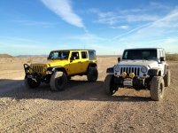
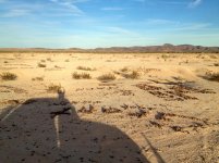
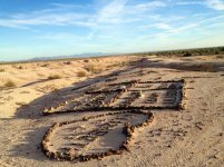
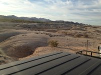
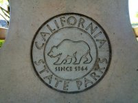
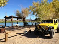
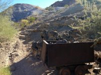
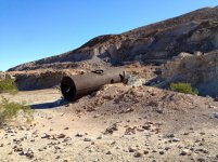
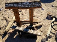
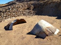
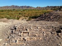
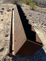
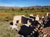
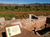
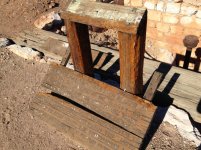
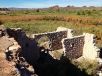
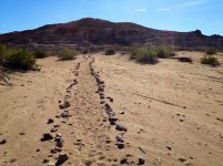
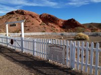
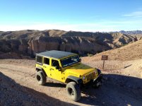
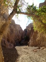
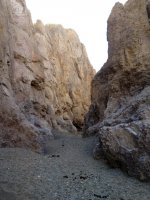
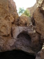
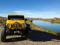
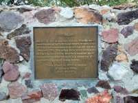
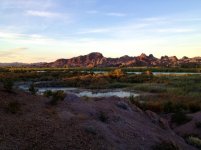
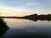
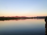
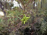
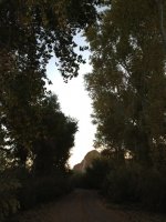
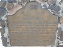
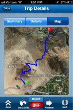
This past weekend David, OVRNUNDR on JK forum and I headed out to Yuma to explore a few trails. First stop, campground and found out by the ranger where the narrows trail was at. Then we went searching for Jackson Gulch trail that connected to Araz wash. Here are some pictures,
Attachments
-
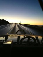 image-4218843125.jpg31.5 KB · Views: 114
 -
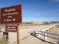 image-2963690503.jpg78 KB · Views: 114
 -
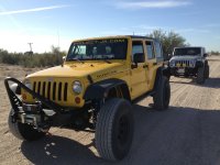 image-2011345563.jpg483.7 KB · Views: 118
 -
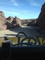 image-656558541.jpg39.1 KB · Views: 113
 -
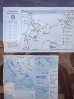 image-939705762.jpg59 KB · Views: 115
 -
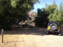 image-1074184660.jpg93.9 KB · Views: 115
 -
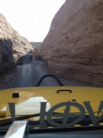 image-2664707684.jpg51.9 KB · Views: 118
 -
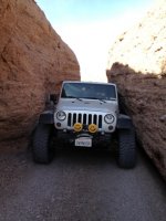 image-372264152.jpg58 KB · Views: 116
 -
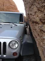 image-3669680382.jpg58.8 KB · Views: 116
 -
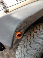 image-1831143682.jpg48.6 KB · Views: 113
 -
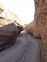 image-257236495.jpg61.1 KB · Views: 115
 -
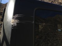 image-1336511940.jpg341.7 KB · Views: 122
 -
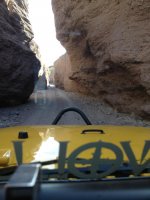 image-3976264269.jpg53.3 KB · Views: 120