Ldogg
New member
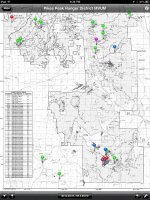
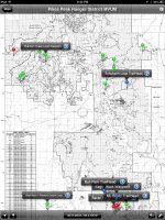
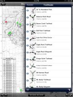
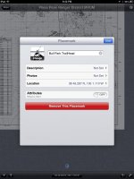
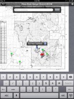
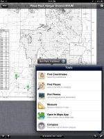
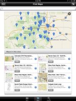
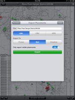
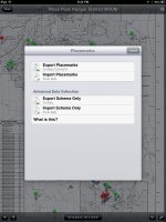
I found this app a few weeks ago called PDF Maps. It's free in the App Store, and in colorado the MVUM maps are free to download from their built in map store. You can also Import PDF maps from Dropbox or web urls. This app allows you to map waypoints on the PDF map and uses your devices GPS to plot points and find where you are on the map your looking at. You can export and then import these waypoint into other devices as well. You can color code waypoint and add descriptions and other attributes to each waypoint. It's pretty sweet and again it's free, and the Colorado MVUM maps are free. I used the fun treks books and trail damage.com to start plotting point. I am about a third of the way through the pikes peak ranger district map, but I can't wait to try it out on the trails. Pics below are from my iPad mini. It works on my iPhone 5 but its small. The cool thing though is that you can export/import between them so you have copies on both devices.
