After spending a day exploring the shores of Walker Lake and seeing the Walker River flowing into it again for the first time in over 6 years, Cindy and I decided to head south and stay the night in Tonopah and at one of our most favorite hotels in the state of Nevada - the Mizpah! While we were in need of getting home, we had all day to get there and so we decided to lose ourselves in the desert and find an unconventional way to get back - on series of old stage and overland routes that still exist today.
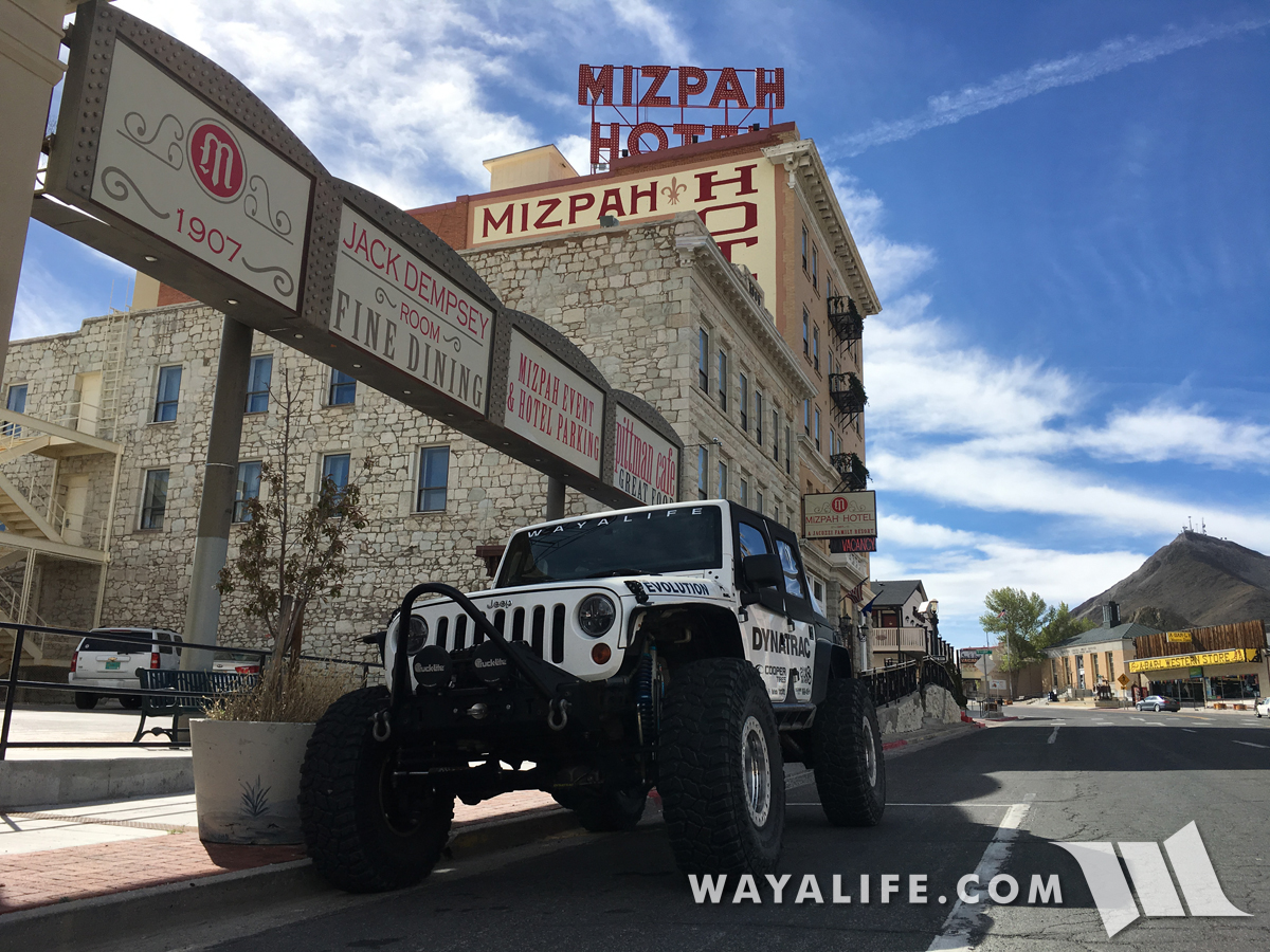
Moby sitting in front of the historic Mizpah Hotel, all packed up and ready to hit the trails.
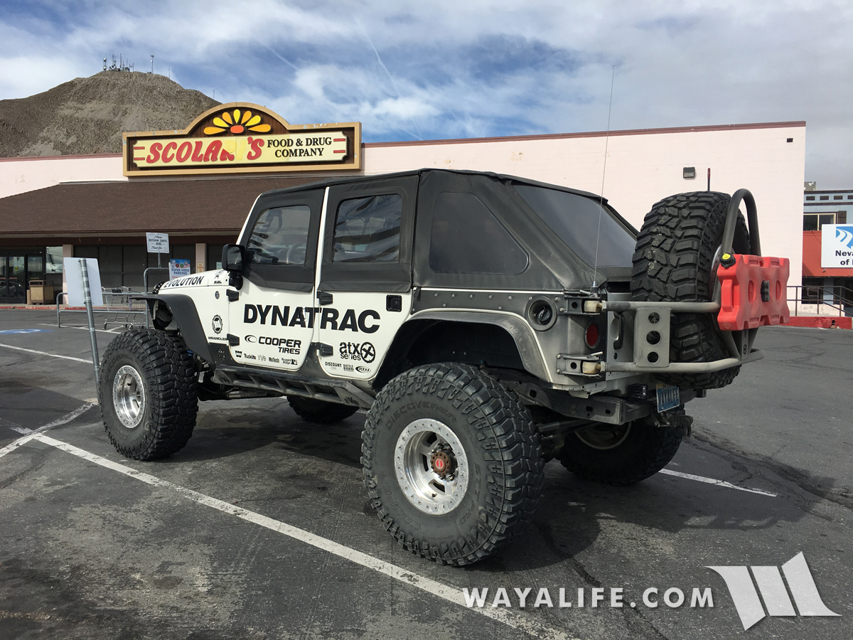
Using Moby to do a little grocery gettin before heading out.
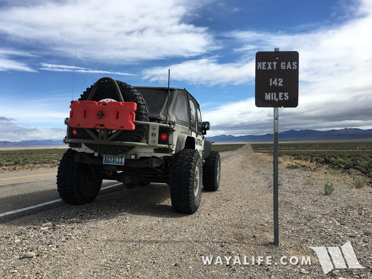
Gas exists where people exist and knowing that neither is ahead for miles to come is always a good sign to us.
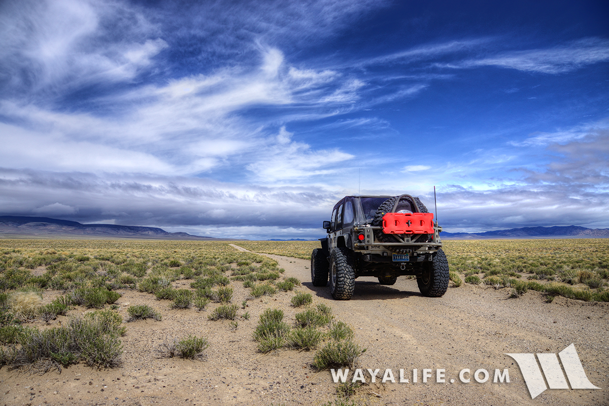
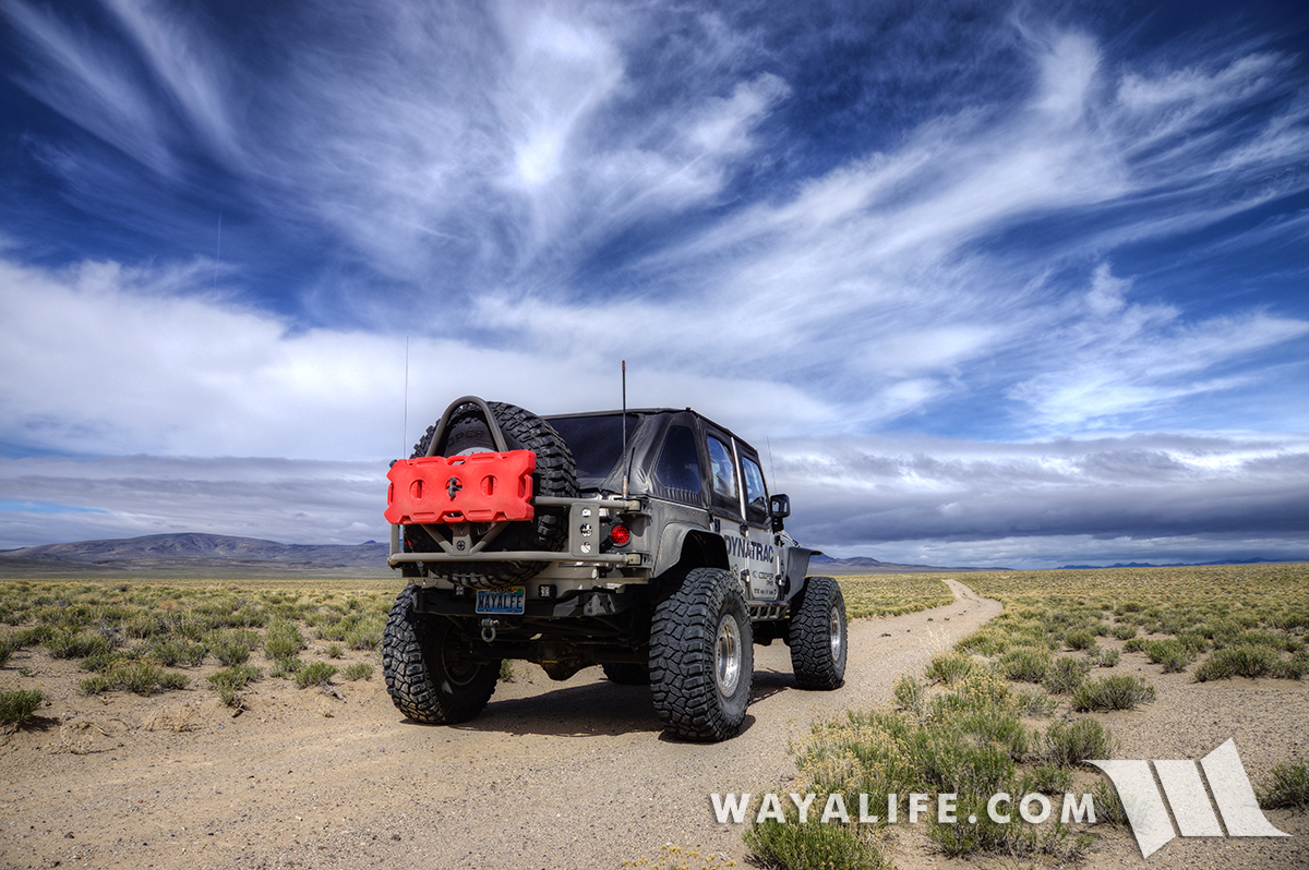
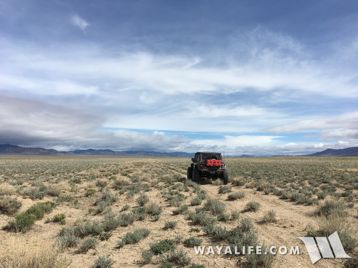
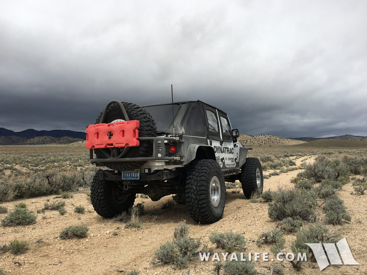
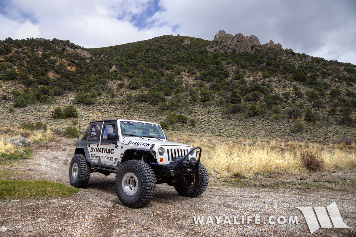
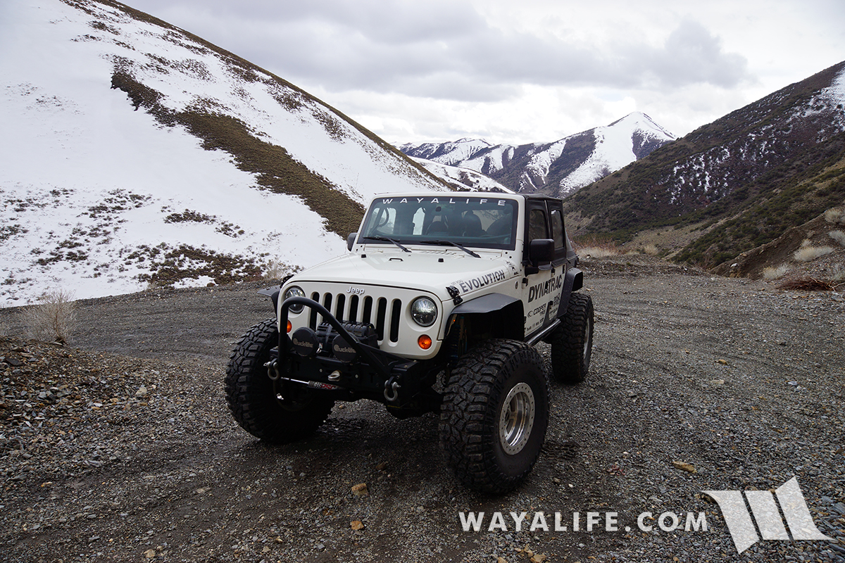
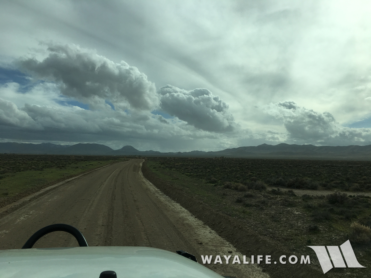
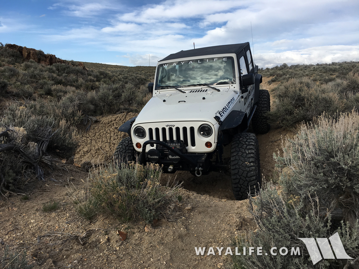
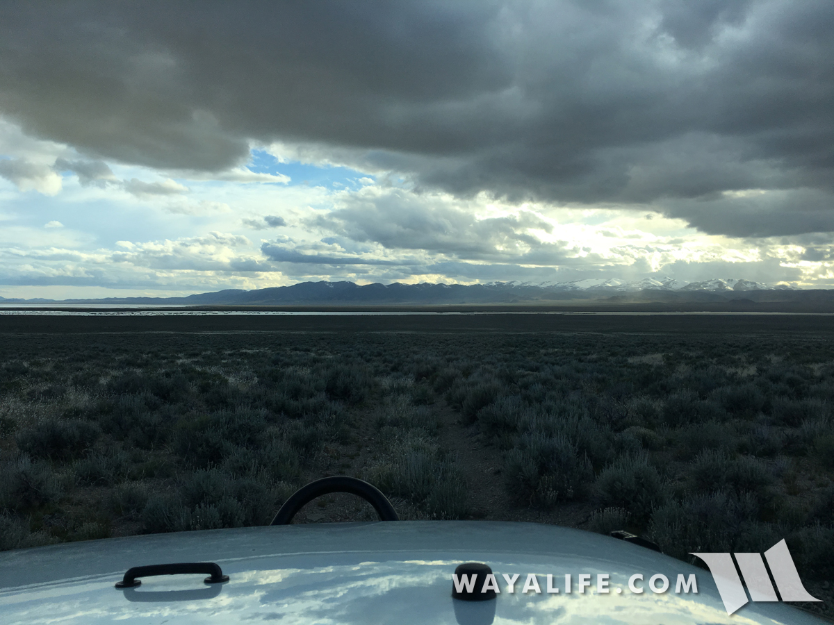
Off pavement with only the horizon ahead of us - this is where the fun really begins!
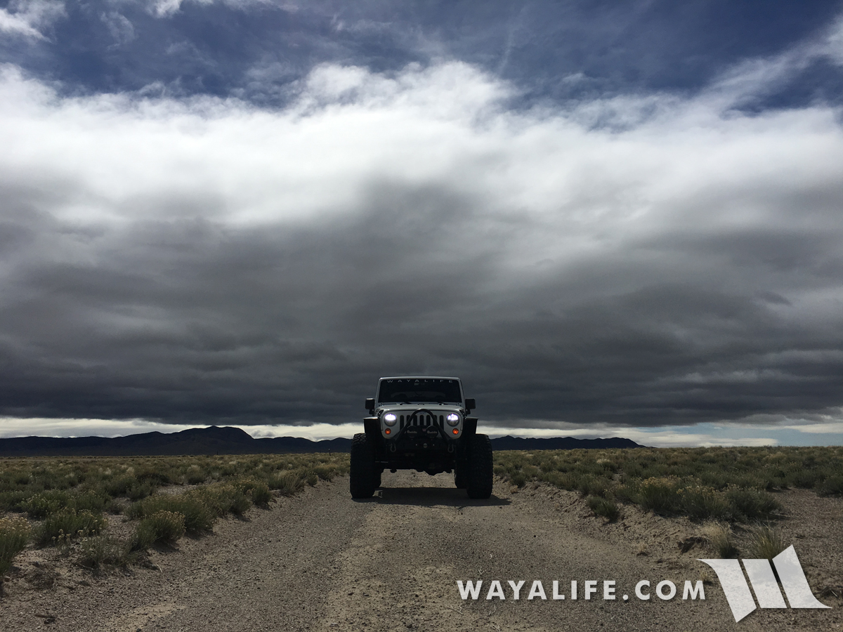
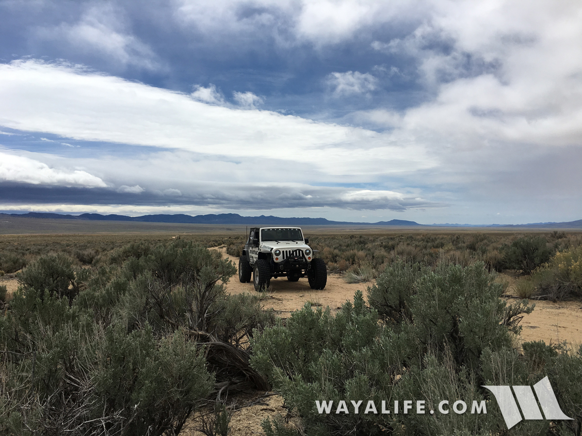
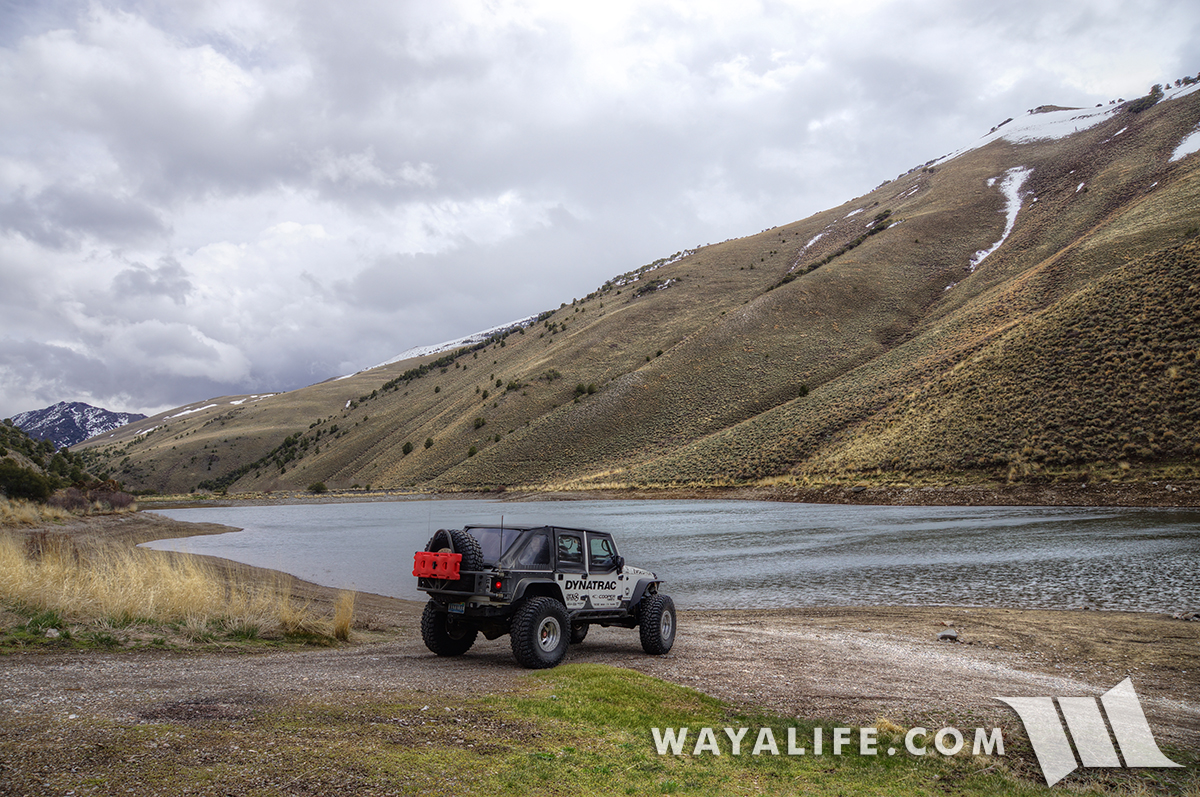
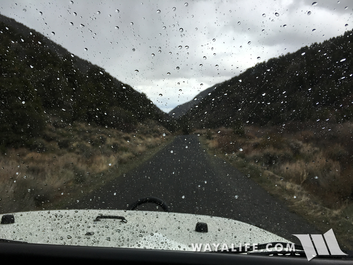
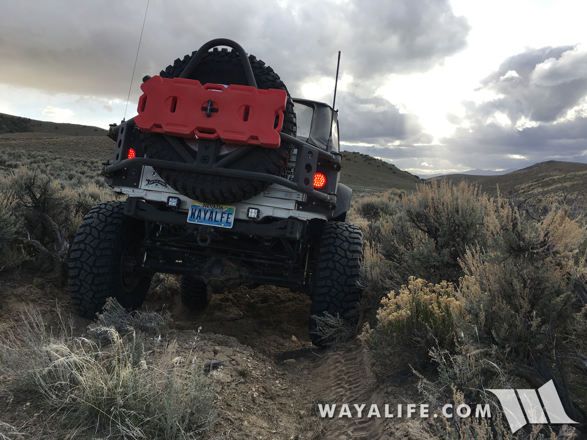
Unfortunately, a quick look behind us showed that we'd be spending the day trying to outrun a storm.
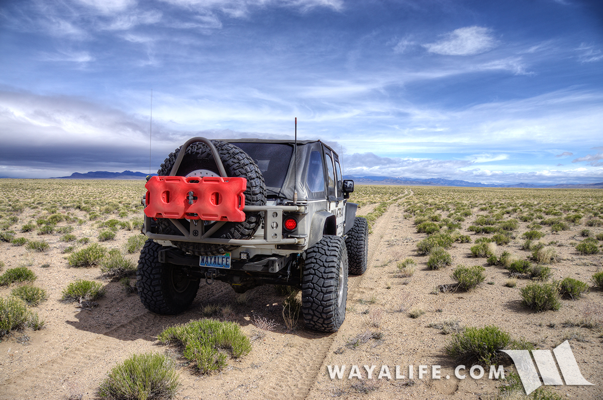
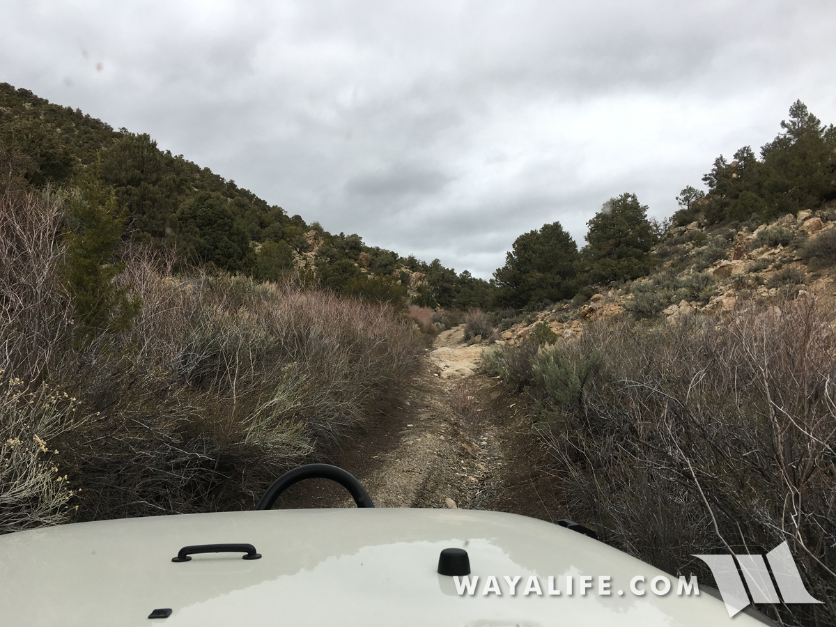
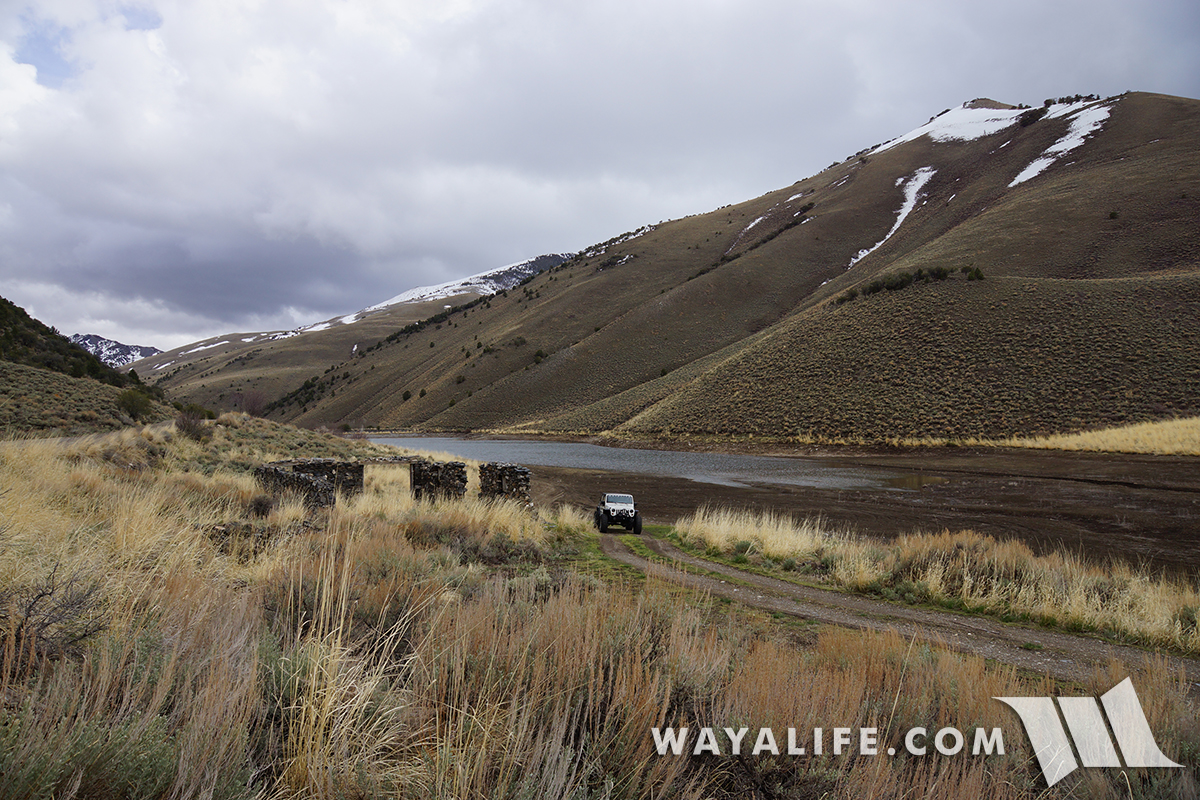
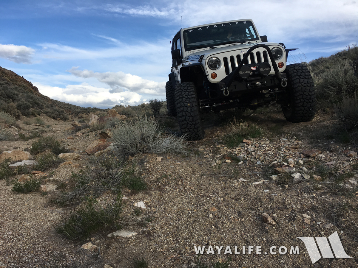
Up on the stage route, the trail turned into a fading 2-track and one that hadn't been used in a very long time.
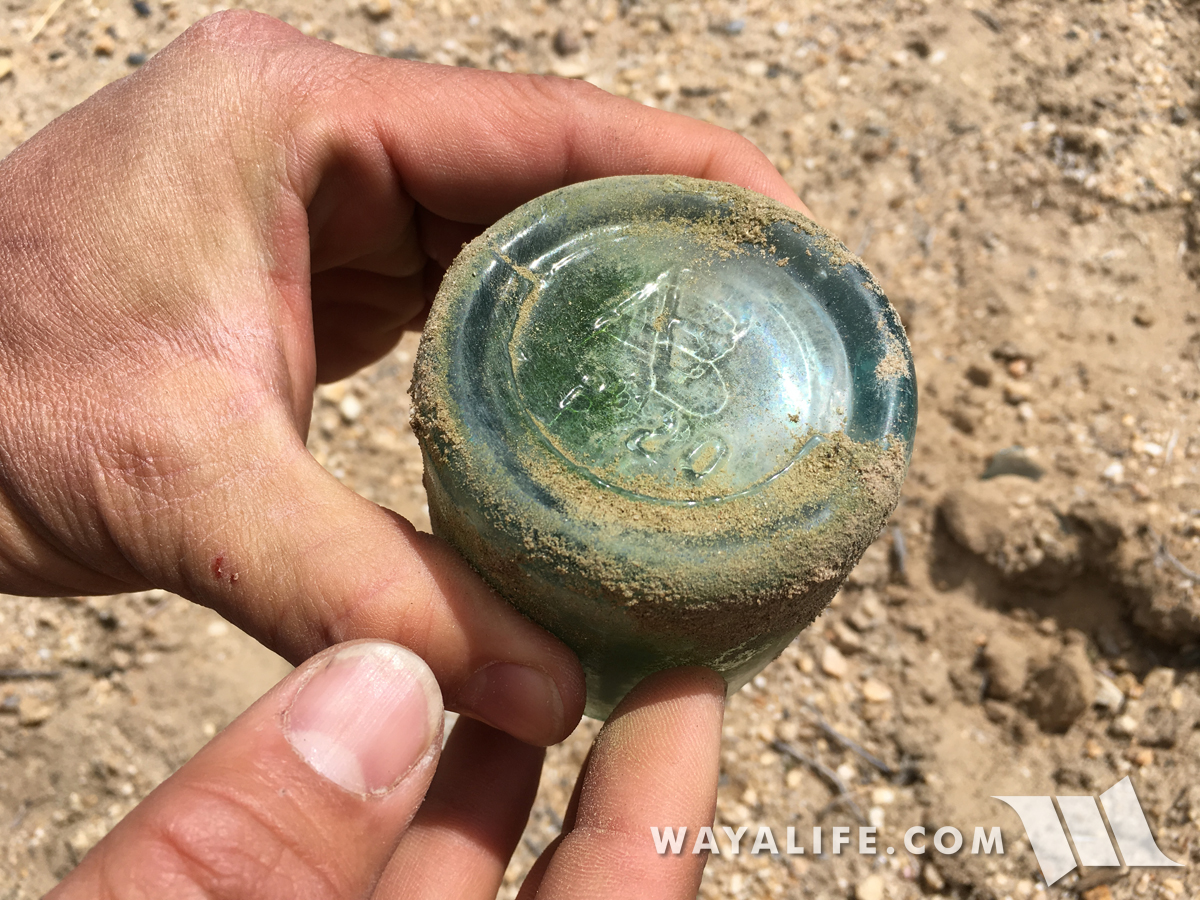
You know you're on an old trail when you can stop pretty much anywhere along the length of it and find historic trash. As you can see on the base of this broken bottle, it has the connected letters "AB" stamped on the bottom of it indicating that it was made by the Adolphus Busch Glass Manufacturing Company and/or the company it merged with in 1905, the American Bottle Company. While Adolphus Busch has been around since 1886, it's more likely than not that this bottle was thrown to the side of the trail around 1905-1909 when this mark was more widely used. A reminder that many of these old stage routes were used by early automobile as well.
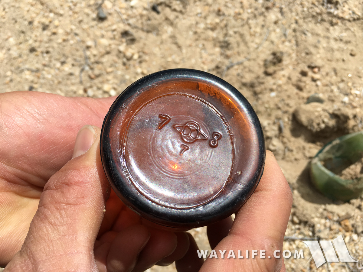
Further up the route, we came across this intact amber bottle which was made by the Owen Illinois Glass Company.
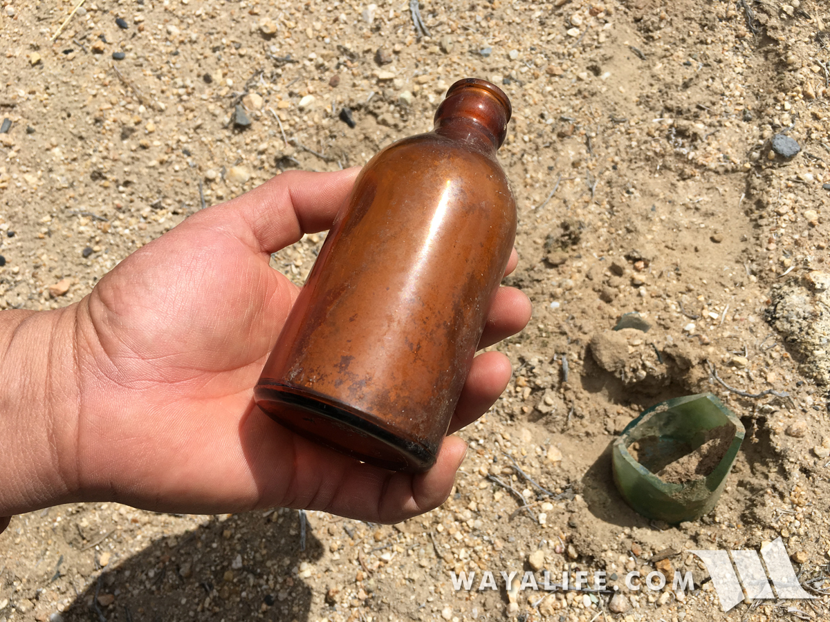
As you can see on the base, it has a number 7 on the left of the logo indicating it was made in Alton, IL and while I'm not 100% sure what the 8 on the right stands for, it clearly signifies that it was made in the 1930's as a two digit date system was employed in this location from the 1940's on.
Unfortunately, the storm we were trying to outrun was moving a lot faster than us and we would be running into it sooner than later.
Pulling up to Spanish Springs.
A few shots of the modest accommodations.
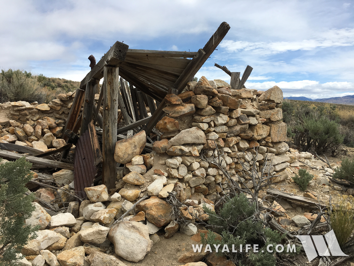
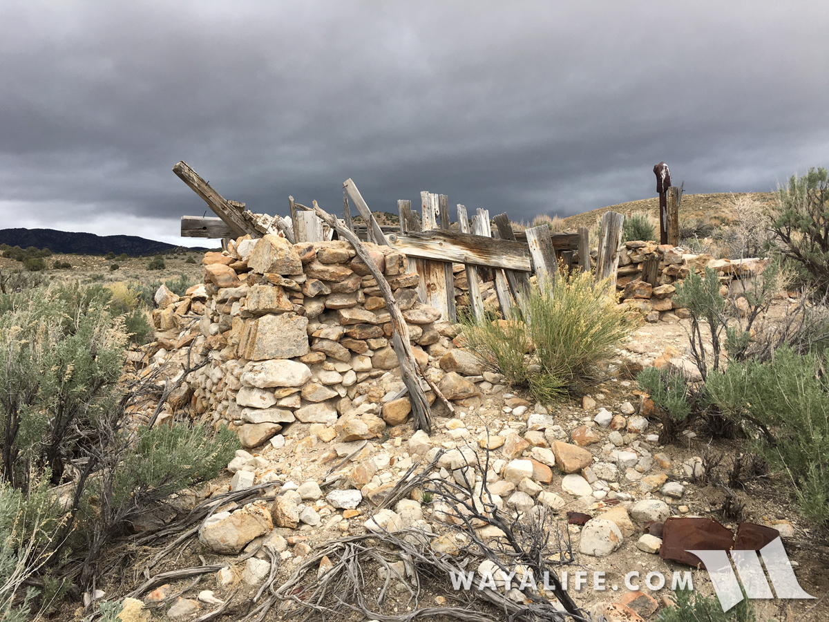
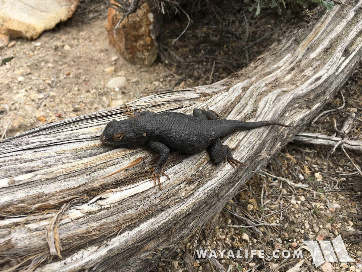
Saying hello to the caretaker of this fine facility.
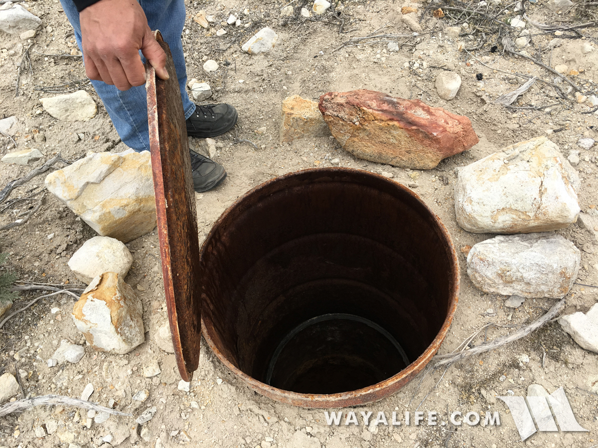
Being that water was an essential component to overland travel, springs like this can be found all along the length of any given route. Surprisingly, this was was capped and still had accessible water.
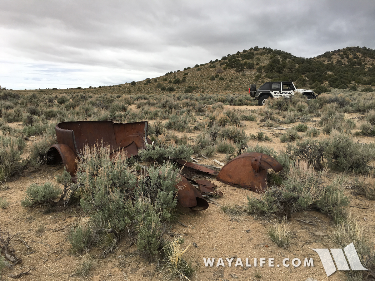
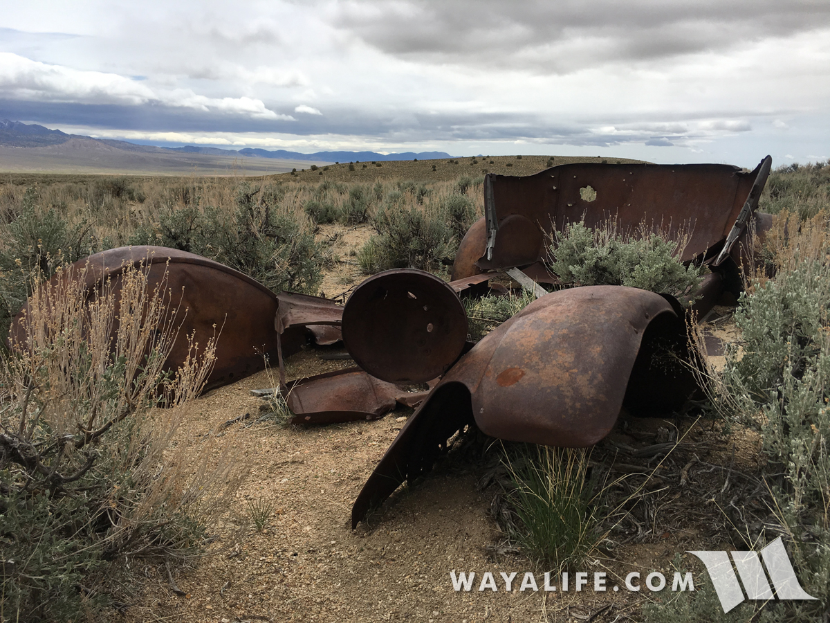
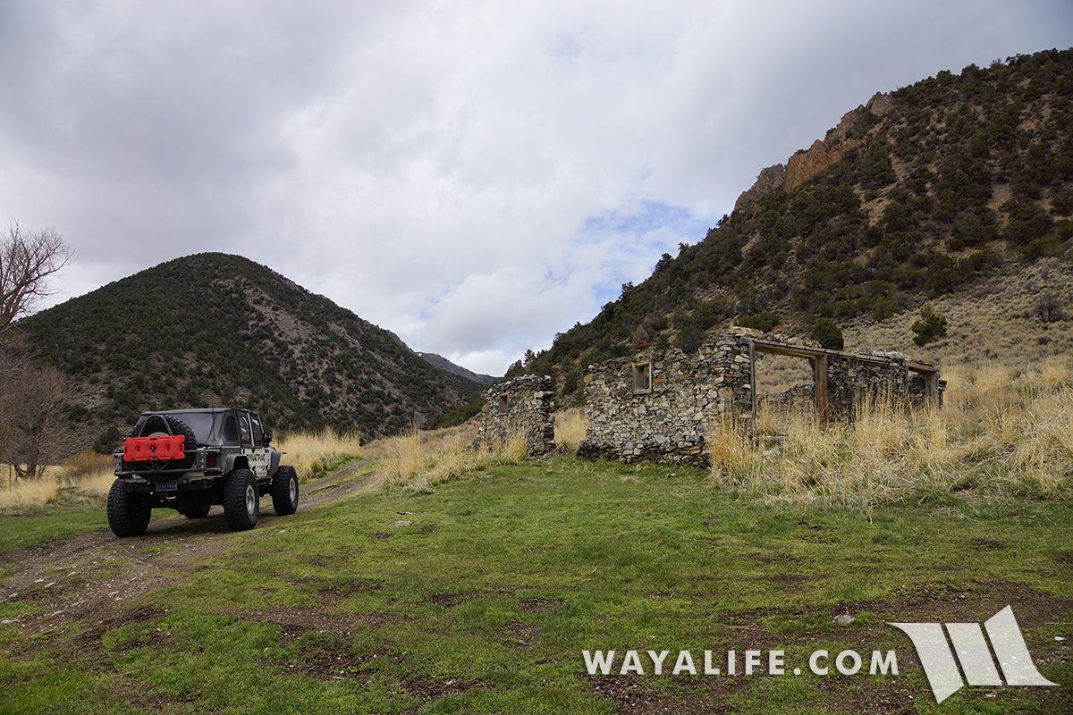
On the move again, we came across a vehicle pulled over to the side of the road. Unfortunately, it was far beyond repair and abandoned by its occupants quite some time ago.
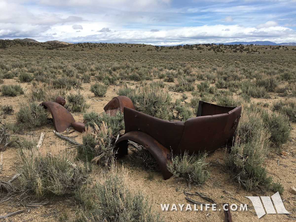
As was the case with many of the overland routes in the area, this one was acquired by Nevada Mobile Transit Company around 1905. With a fleet of 20 automobiles just like this, they provided transportation service to prominent auto connections in the area.
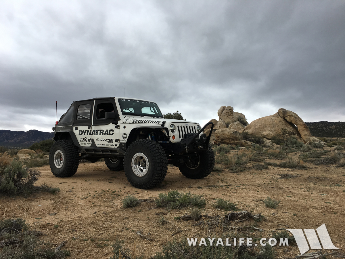
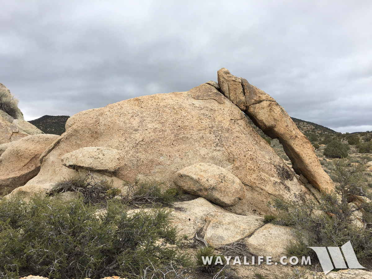
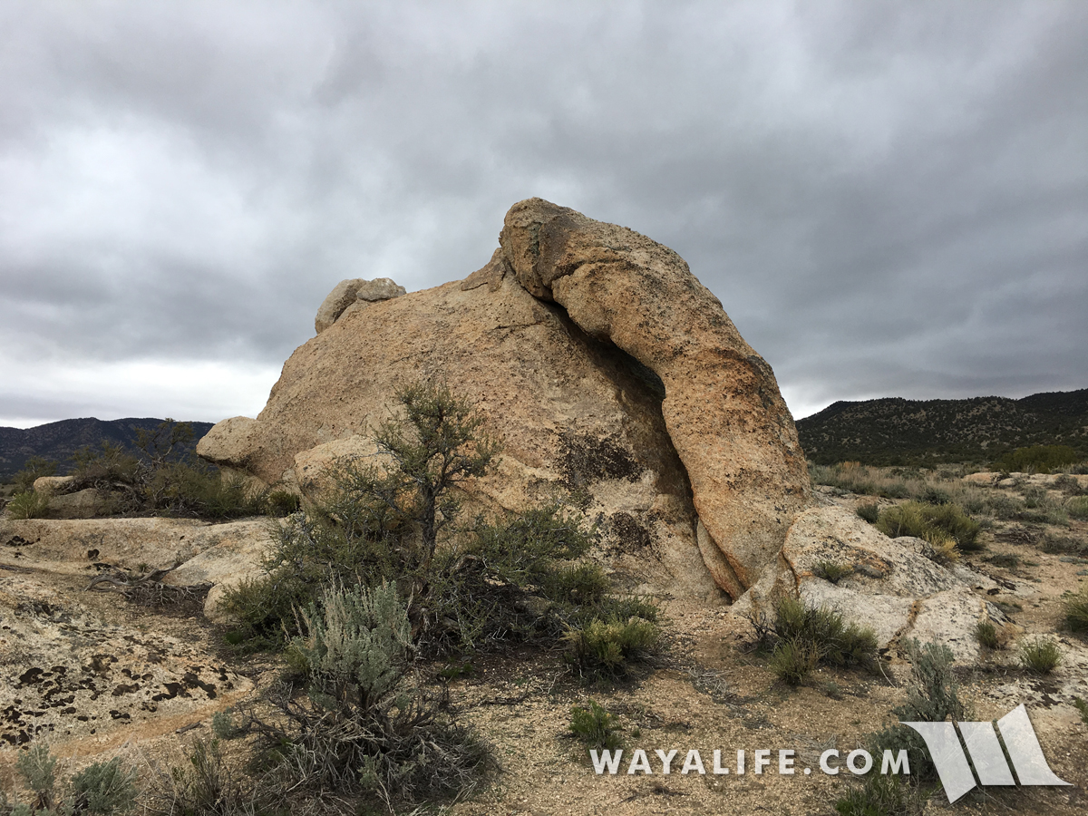
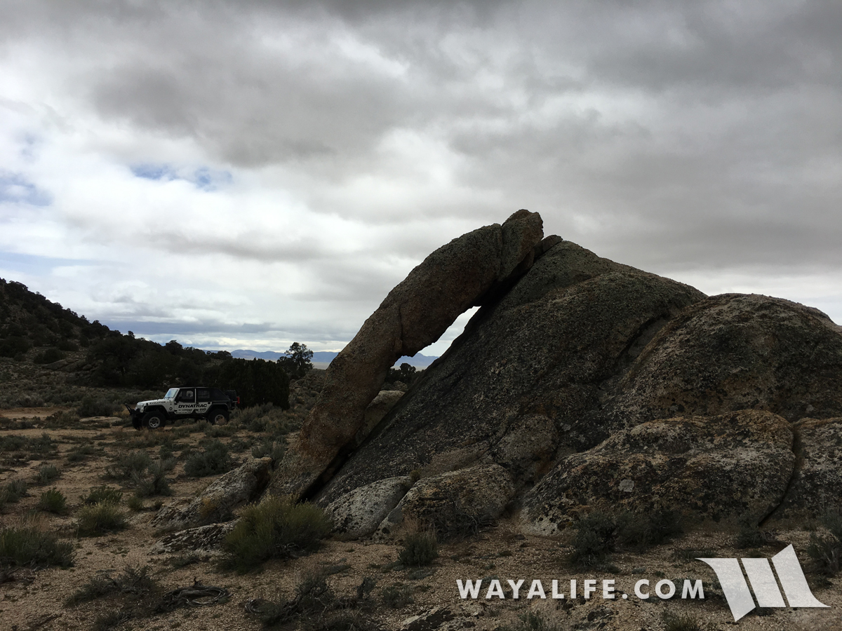
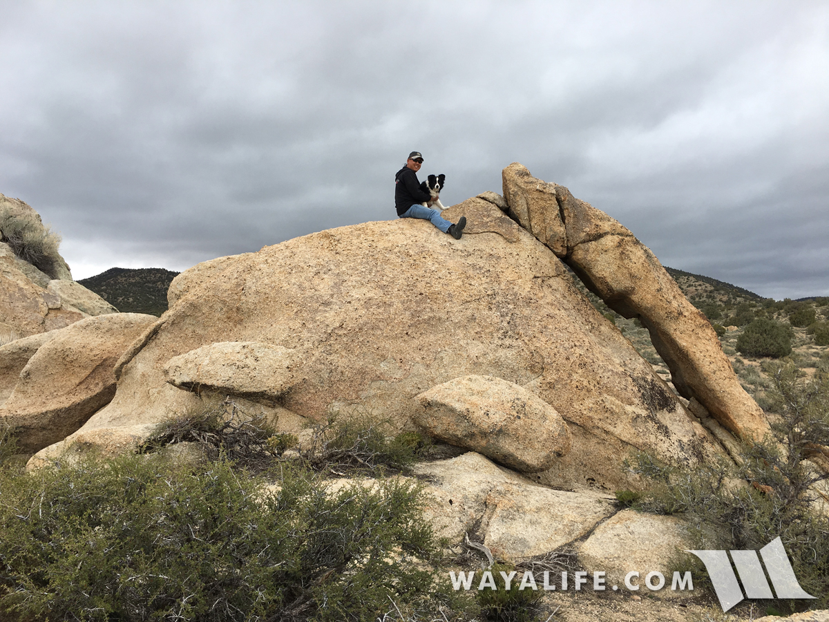
"I HAVE SEEN THE ELEPHANT" was popular phrase uttered by emigrant making their way west and to express the enormity of their experience. Of course, those who would have come along this stage route would have been able to say it and mean it as they came across Elephant Rock.
Tessa and I going for a ride before heading out.
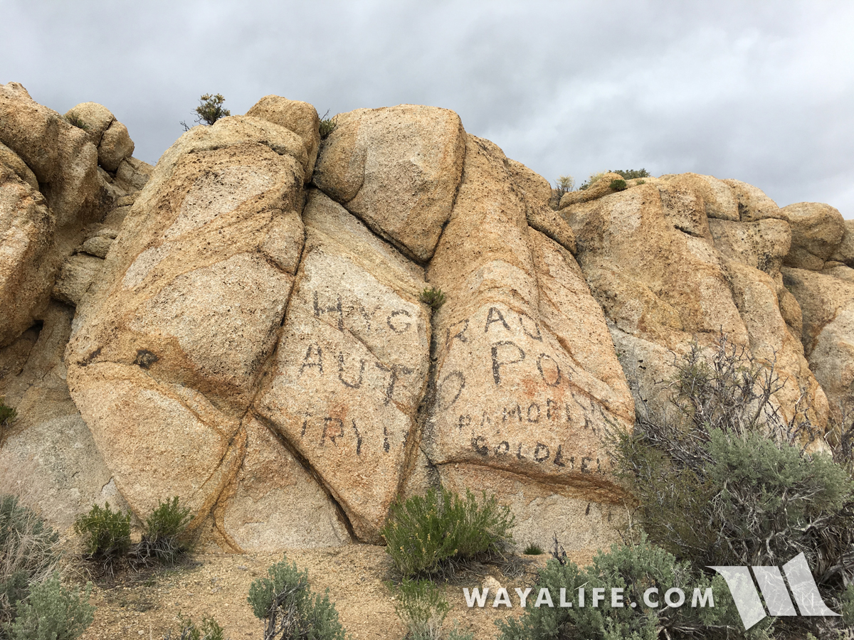
Further up the route, we came across an old hand painted message that we couldn't quite read or learn much about or at least, as of yet. To the best of my ability, I believe it says "HYGRADE AUTOPOLIS", can't make out what's next but ends with "GOLDFIELD".
Climbing into the mountains, the trail got narrow, rocky and brushy.
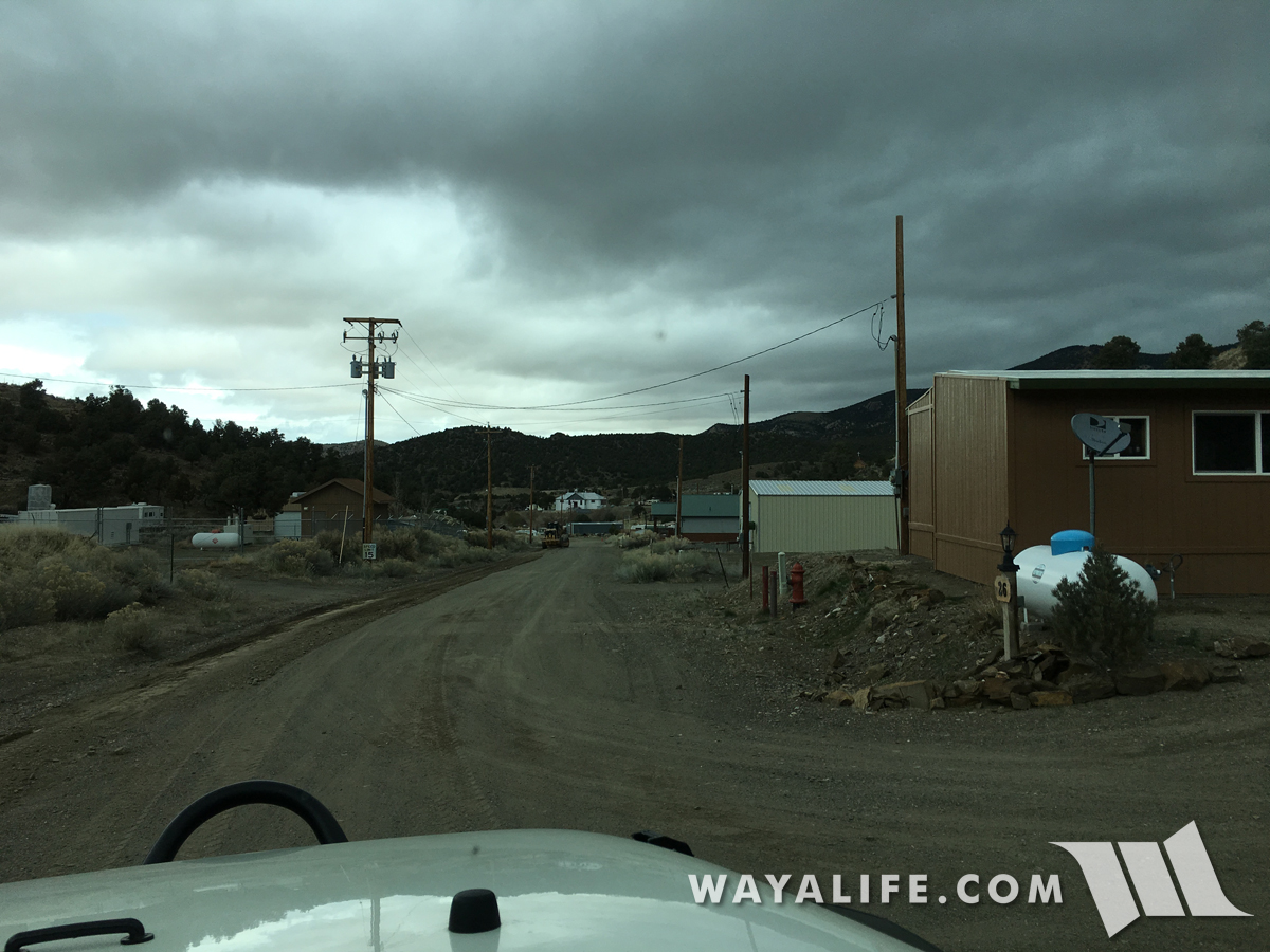
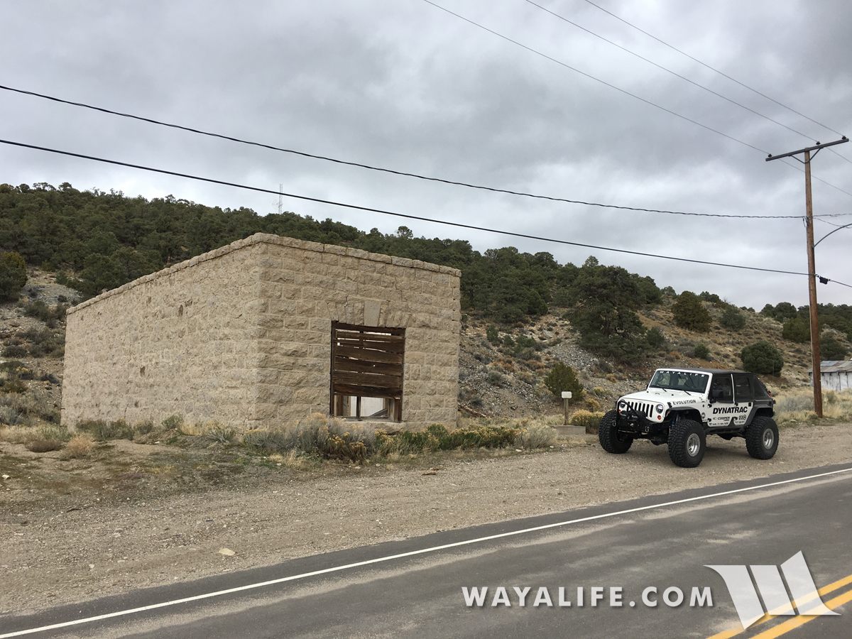
Not exactly New York but this is the town of Manhattan.
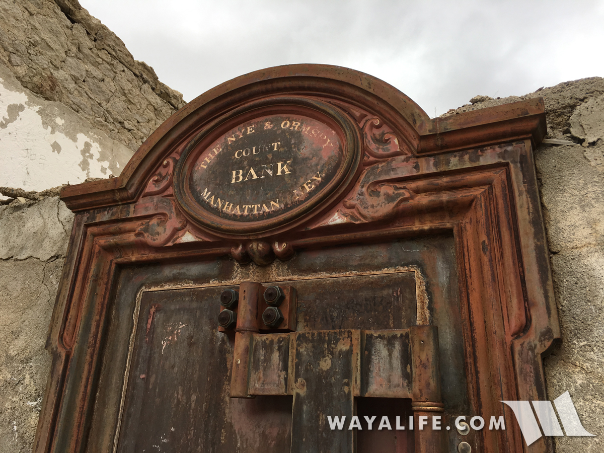
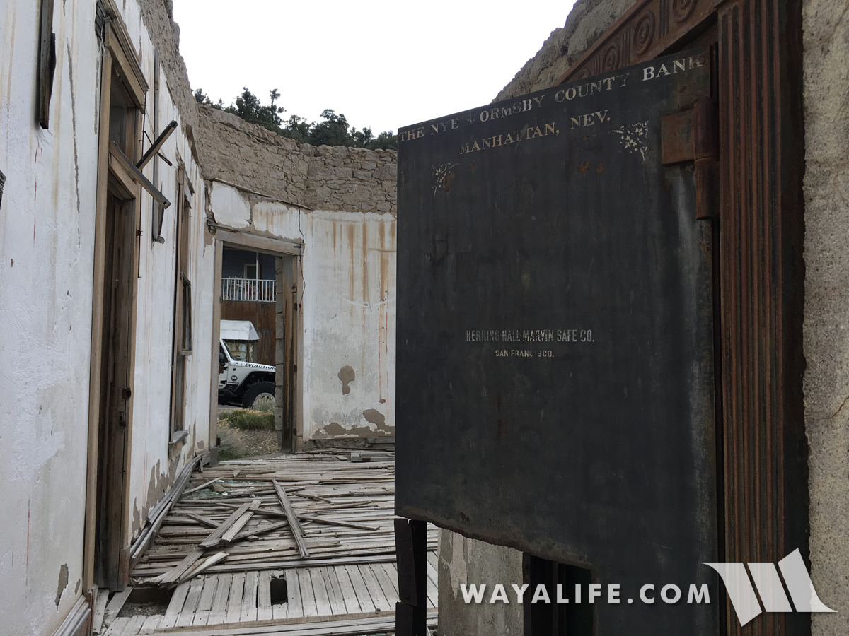
Being that quite a few people still live here, Manhattan isn't exactly a ghost town but it does have quite a few old buildings that cool to look at. This is the Nye & Ormsby County Bank which was built in 1906 and is the oldest and only stone building that was built in town. It's also the ONLY building that you can check out without trespassing on someone's property.
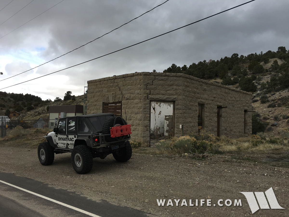
Sadly, the bank was forced to close a year after it opened due to the depression of 1907.
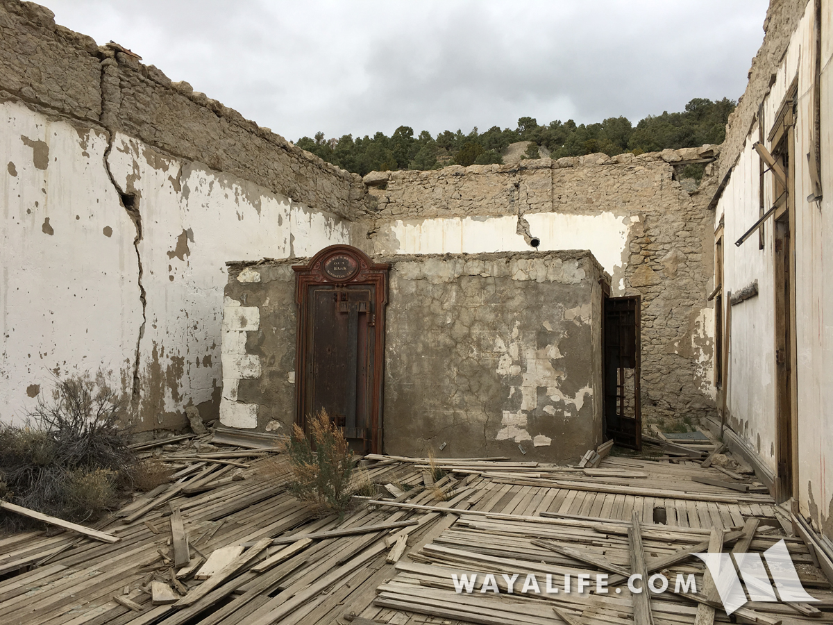
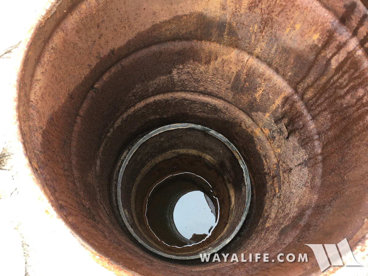
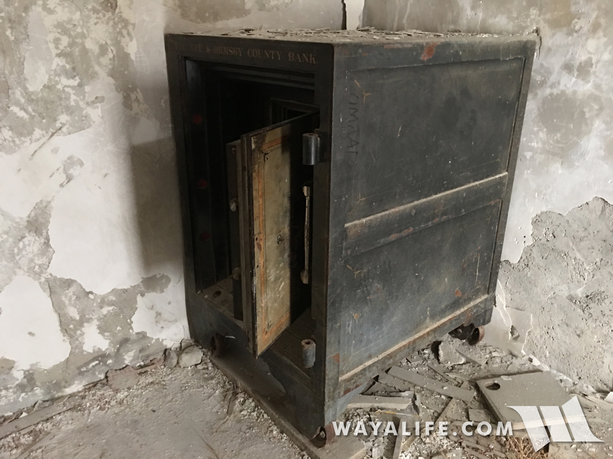
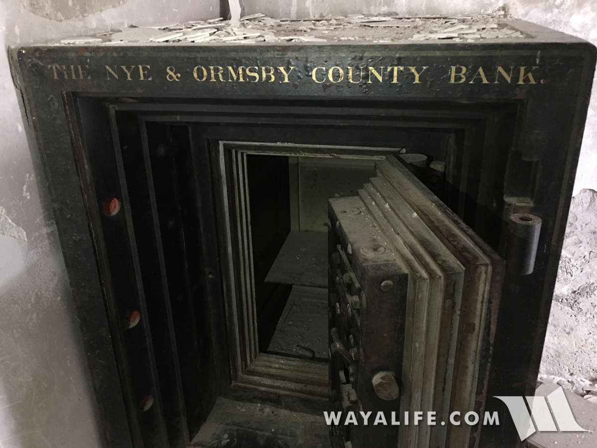
Built to keep money safe and built to do it for a long time, the vault inside the bank stands relatively intact.
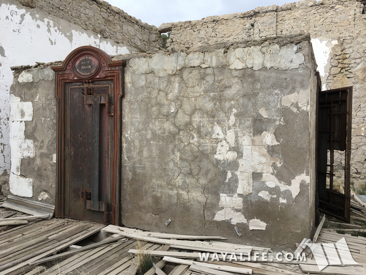
A door on the side of the vault is open.
As if the vault weren't safe enough, there's a safe inside of it as well. Of course, if you look at how big the safe is, the only way it could have gotten inside is if the vault were built around it.
Back on pavement, we headed north up the Big Smokey Valley and then turned west into the Toiyabe Range where we hoped to cross it along a route connecting the mining towns of Kingston and Austin.
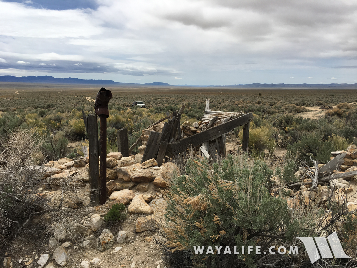
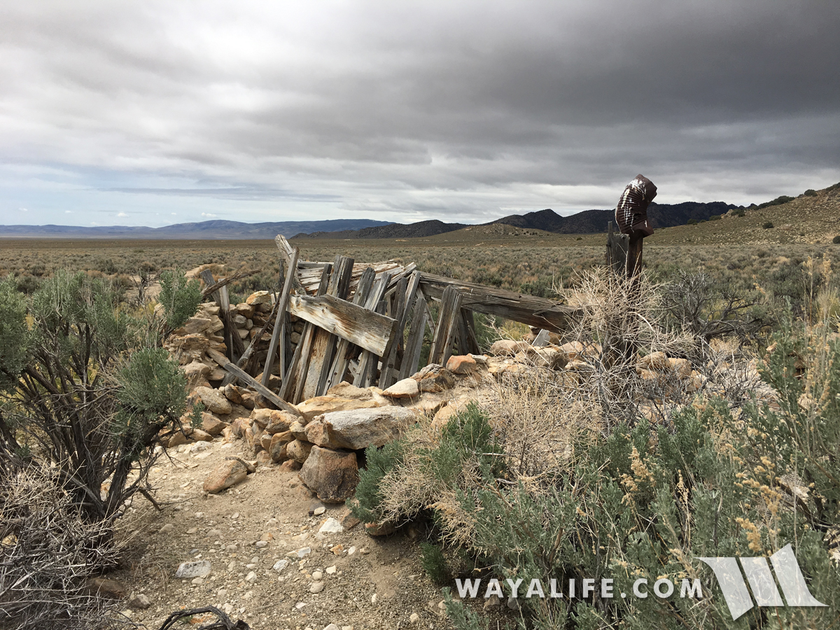
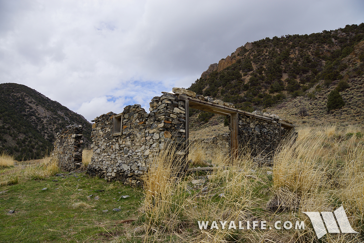
Making a stop to check out the ruins of the old Daniel Ranch.
Climbing our way up to 8,680 ft. Kingston Pass.
Made it to the summit!
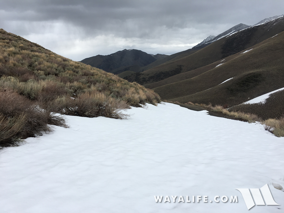
Unfortunately, this would be the end of the line for us as the shelf road ahead was still covered with snow drift. Being that we were running solo, we decided it was better to be safe than sorry.
As luck would have it, turning around was the smart thing to do as it began to hail heavily on us.
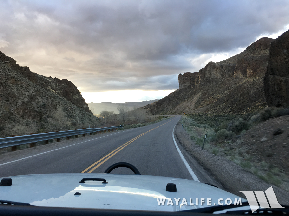
Having to double back the way we came set us back on time but we able to make some of it back once we we got on the highway and could drive a lot faster. After tanking up in Austin, we jumped back on to dirt only this time, it would be traveling along the Pony Express Trail.
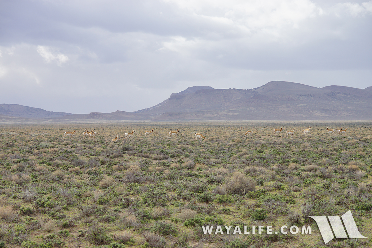
While there weren't any ponies along the trail, there sure were a lot of these guys.
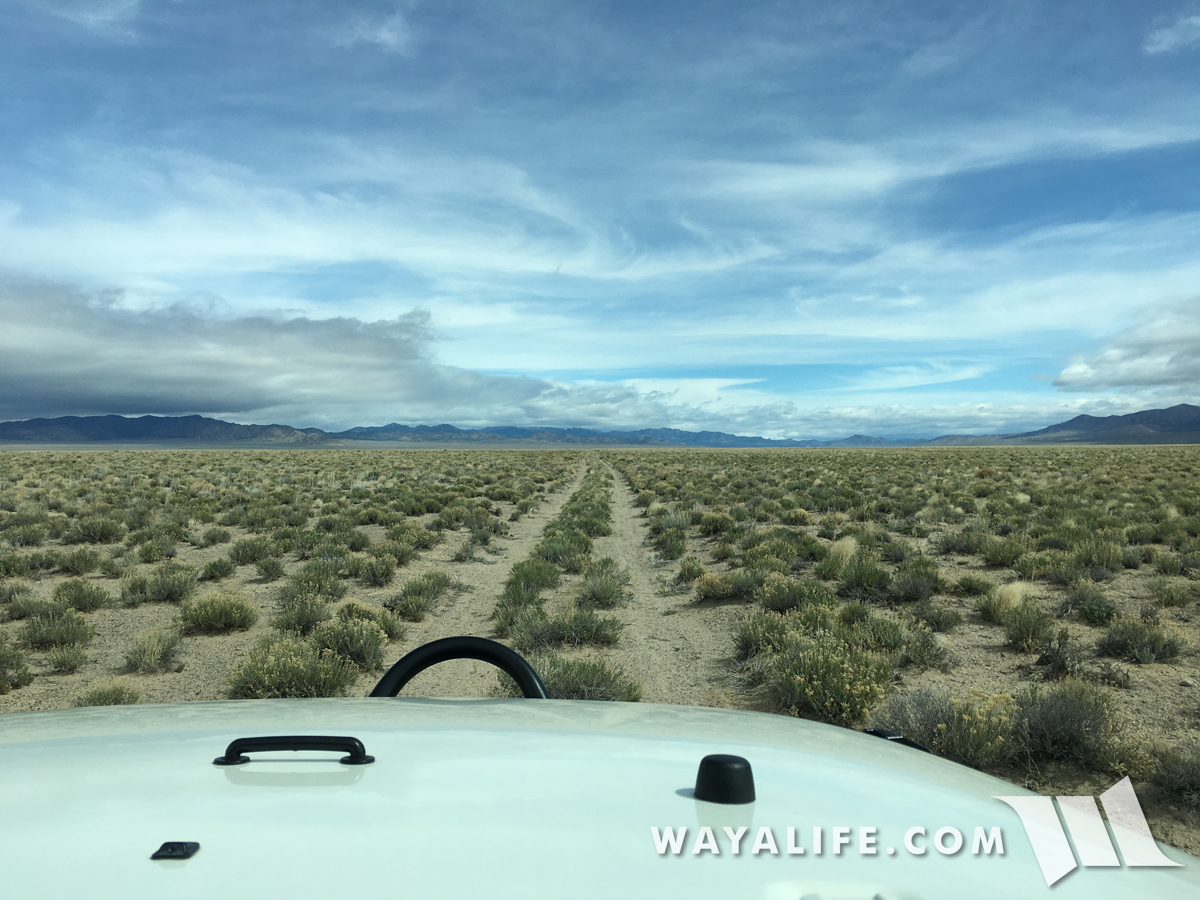
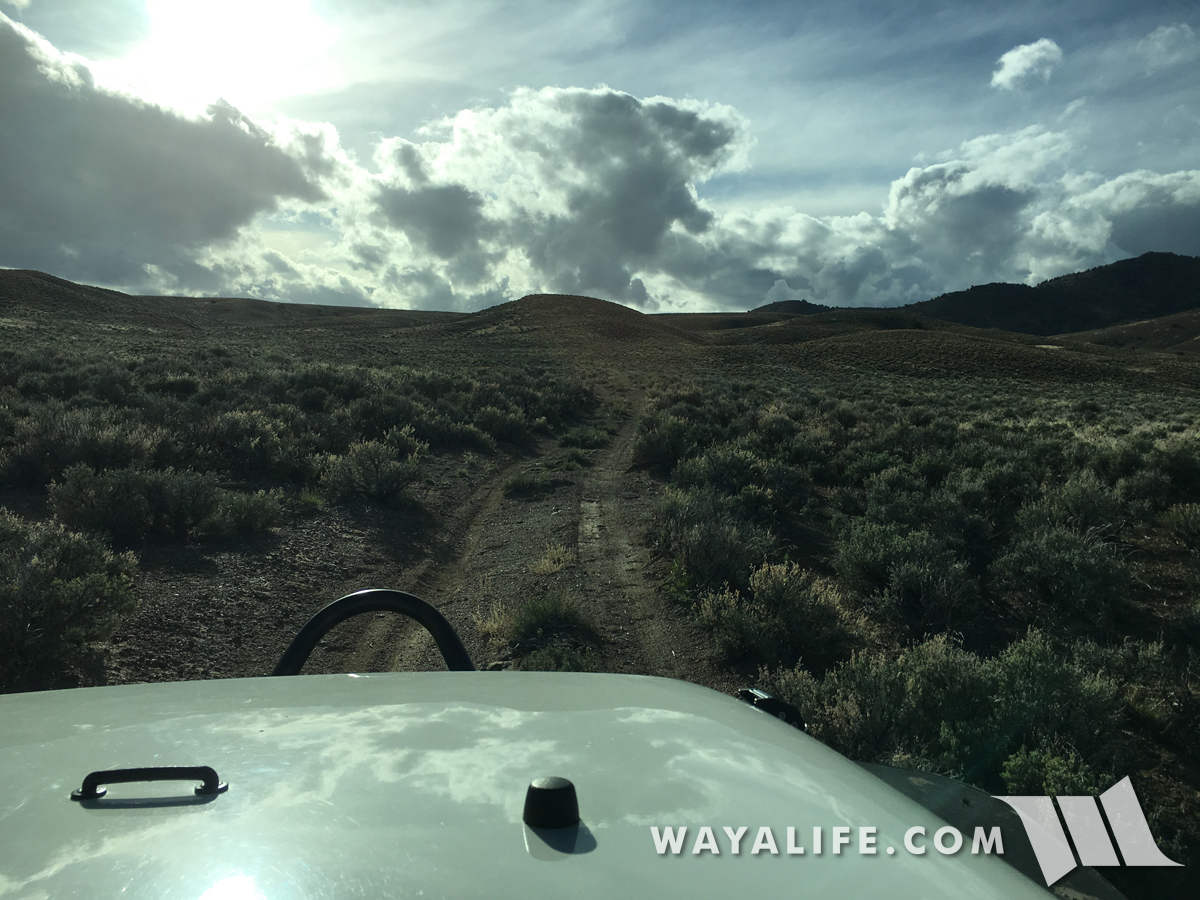
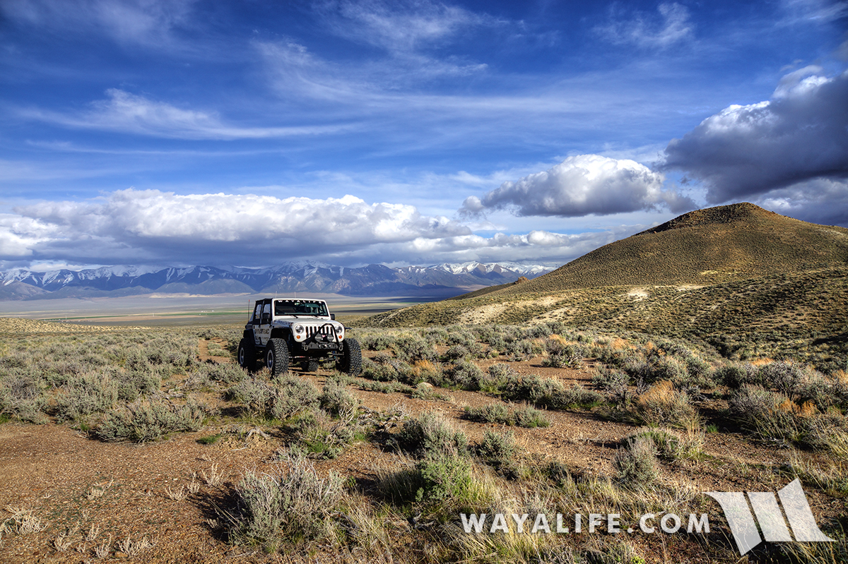
Pulling up into the hills, the trail turned into a fading 2-track.
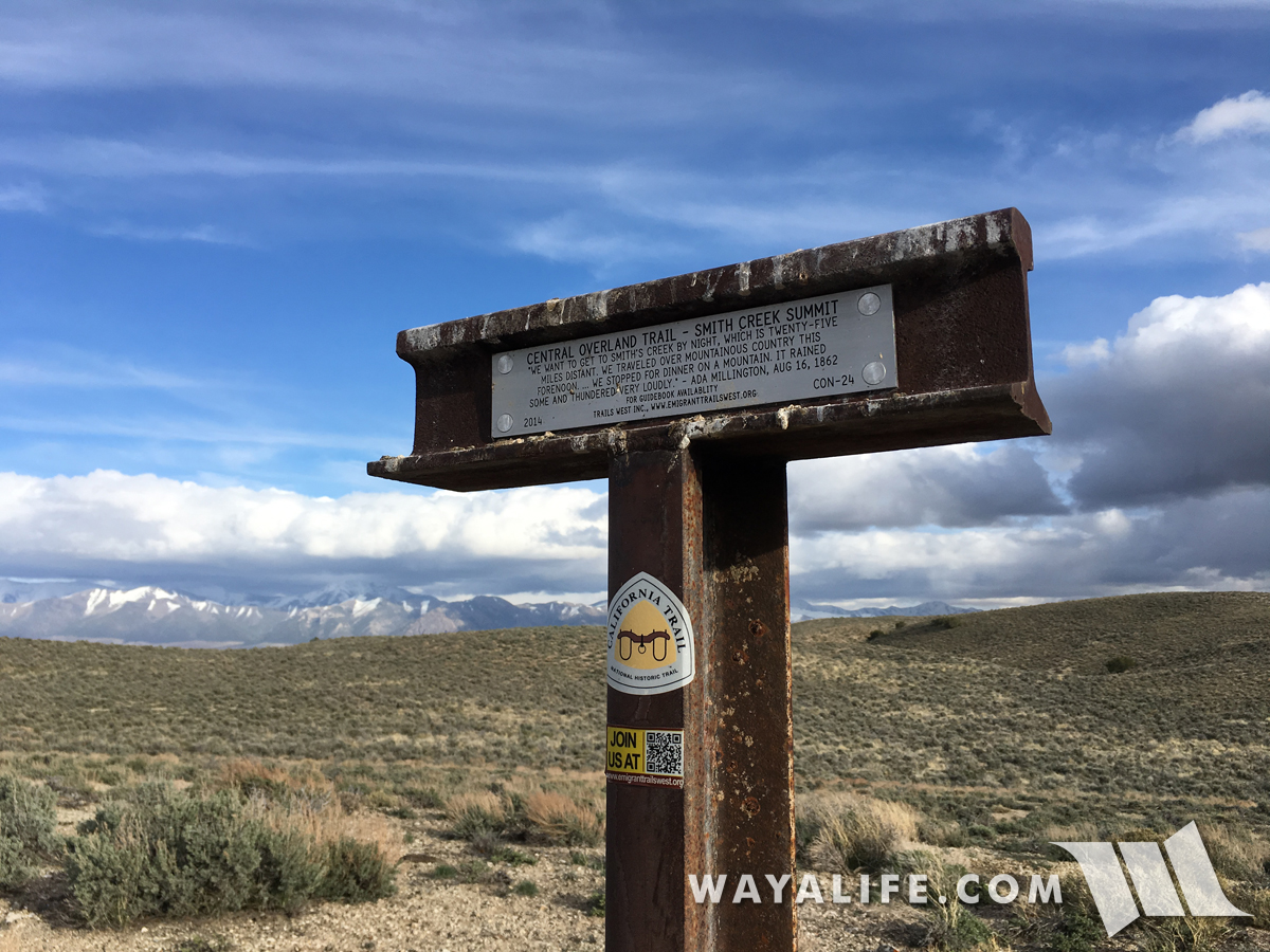
On top of Smith Creek Summit.
Surprisingly, we found a T-marker, a reminder that in addition to horseback riders delivering mail at a breakneck pace, emigrants pulling wagons and walking on foot used this overland route as well.
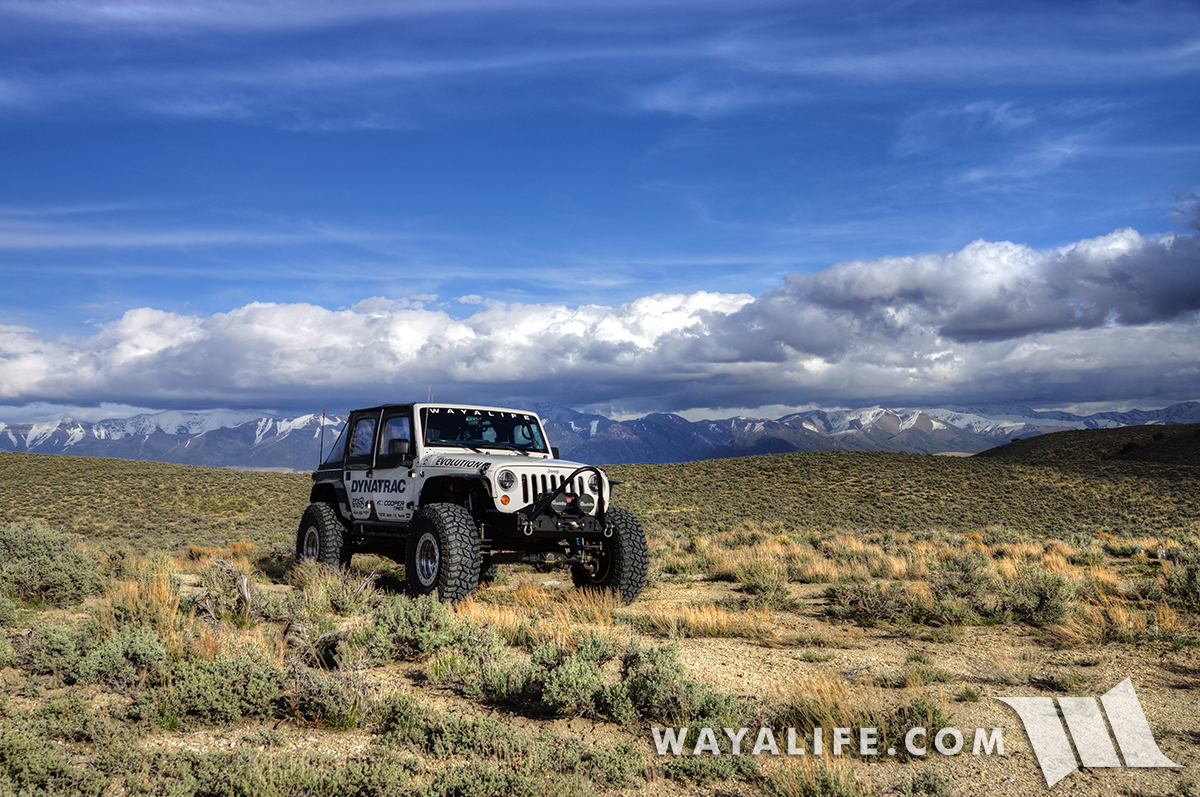
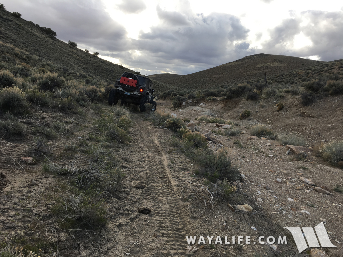
Continuing our way west, we encountered multiple large washouts that needed to be crossed.
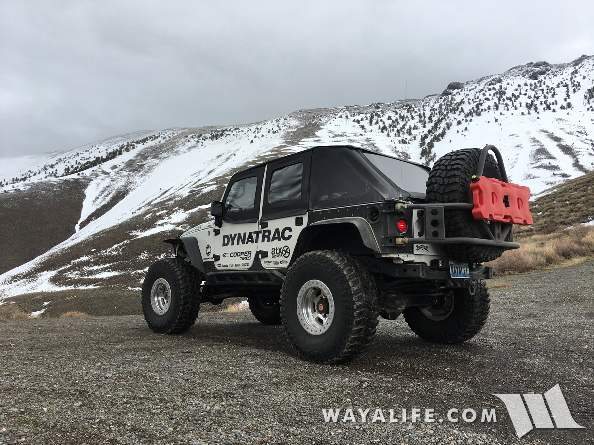
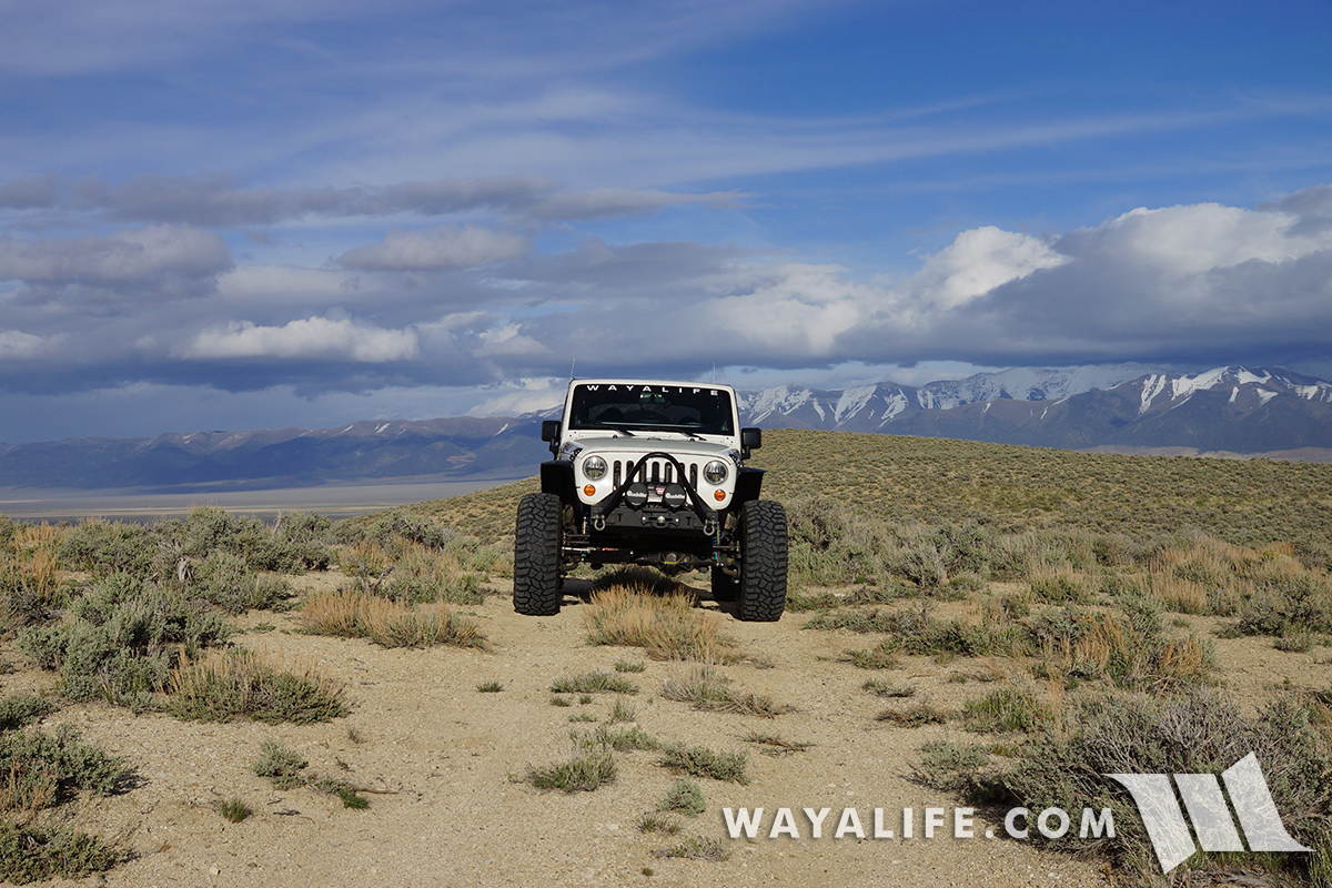
Confidence to explore.
Out of the canyon and look out toward the Smith Creek Valley.
With the sun starting to set and our tummies starting to growl, we decided to get back on pavement and head for home.
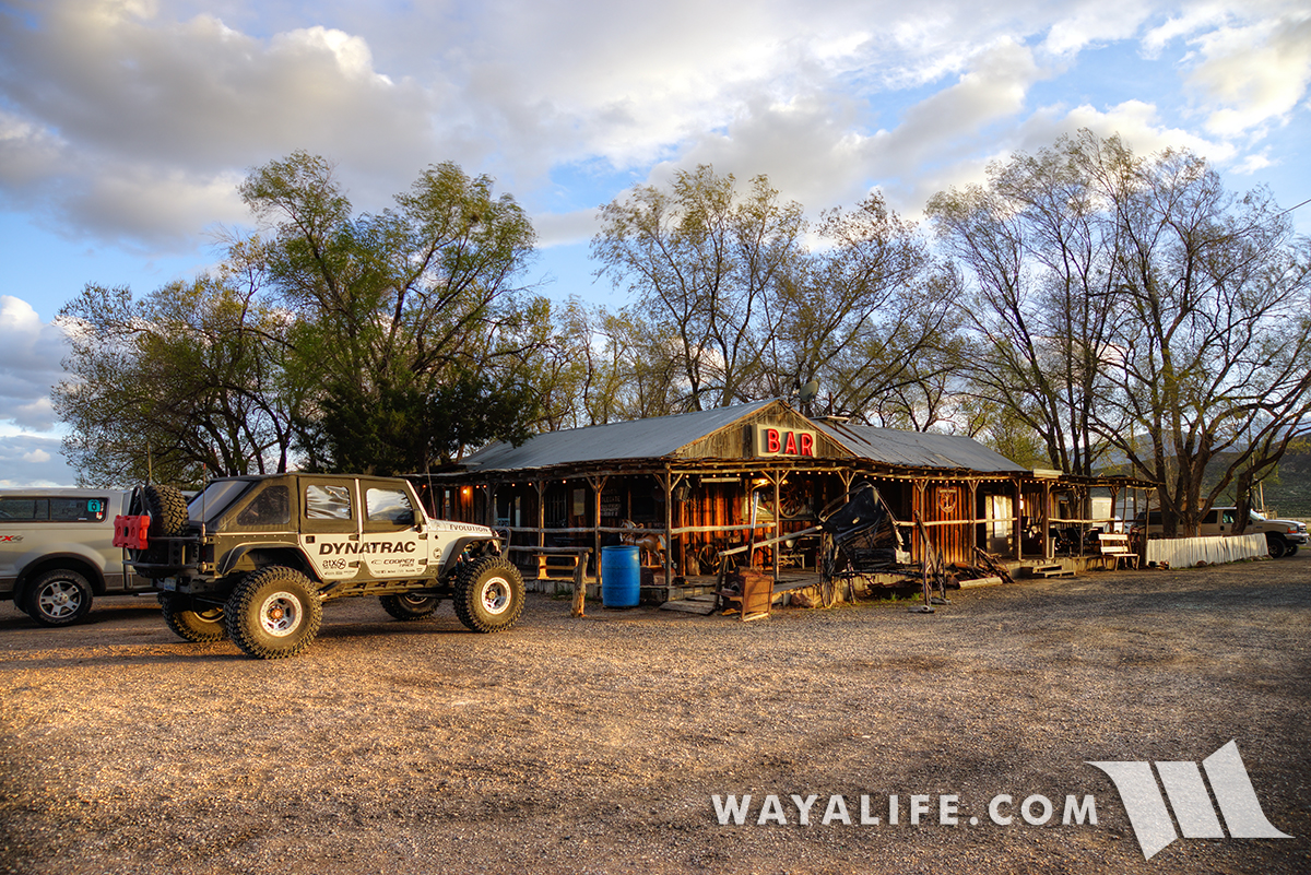
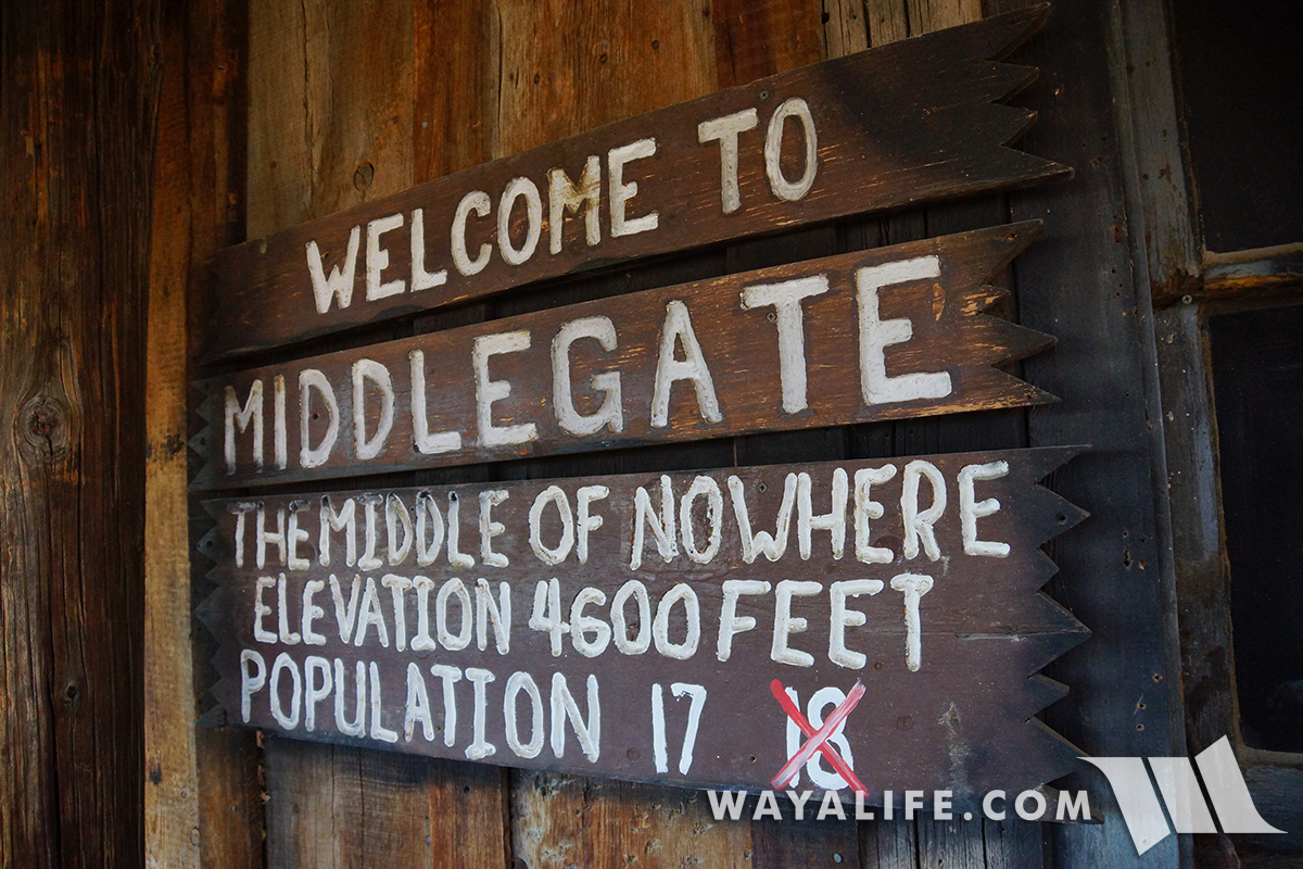
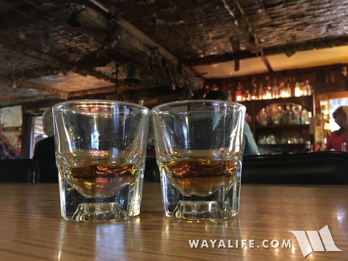
But first, it was time for a whiskey and dinner at one of our favorite historic saloons - Middlegate Station!
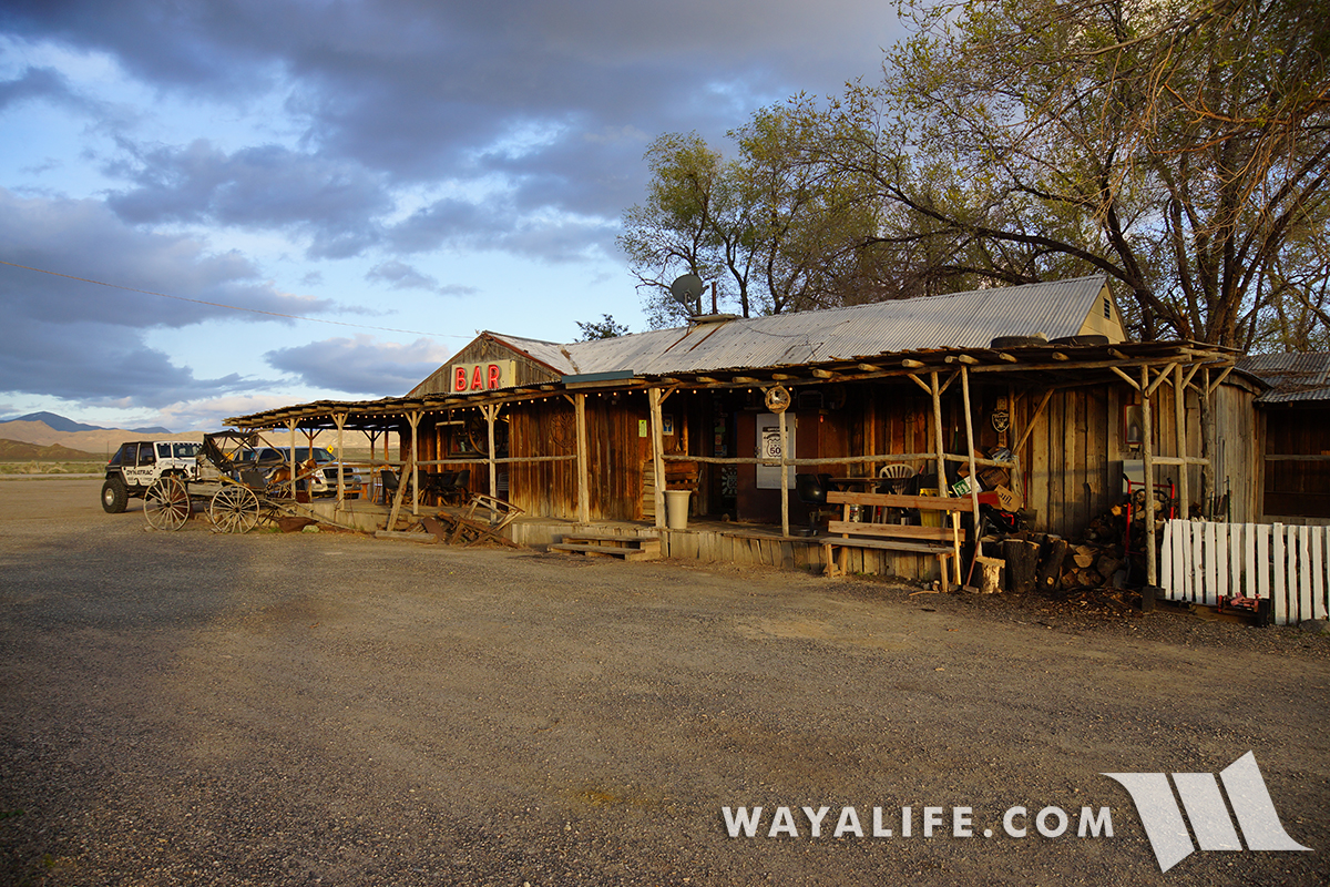
A fitting end to an epic day crossing historic overland stage routes - CHEERS!
Cindy and I hope you enjoyed following our adventures making our way home across the desolate Nevada desert and on fading trails of the past.
Moby sitting in front of the historic Mizpah Hotel, all packed up and ready to hit the trails.
Using Moby to do a little grocery gettin before heading out.
Gas exists where people exist and knowing that neither is ahead for miles to come is always a good sign to us.
Off pavement with only the horizon ahead of us - this is where the fun really begins!
Unfortunately, a quick look behind us showed that we'd be spending the day trying to outrun a storm.
Up on the stage route, the trail turned into a fading 2-track and one that hadn't been used in a very long time.
You know you're on an old trail when you can stop pretty much anywhere along the length of it and find historic trash. As you can see on the base of this broken bottle, it has the connected letters "AB" stamped on the bottom of it indicating that it was made by the Adolphus Busch Glass Manufacturing Company and/or the company it merged with in 1905, the American Bottle Company. While Adolphus Busch has been around since 1886, it's more likely than not that this bottle was thrown to the side of the trail around 1905-1909 when this mark was more widely used. A reminder that many of these old stage routes were used by early automobile as well.
Further up the route, we came across this intact amber bottle which was made by the Owen Illinois Glass Company.
As you can see on the base, it has a number 7 on the left of the logo indicating it was made in Alton, IL and while I'm not 100% sure what the 8 on the right stands for, it clearly signifies that it was made in the 1930's as a two digit date system was employed in this location from the 1940's on.
Unfortunately, the storm we were trying to outrun was moving a lot faster than us and we would be running into it sooner than later.
Pulling up to Spanish Springs.
A few shots of the modest accommodations.
Saying hello to the caretaker of this fine facility.
Being that water was an essential component to overland travel, springs like this can be found all along the length of any given route. Surprisingly, this was was capped and still had accessible water.
On the move again, we came across a vehicle pulled over to the side of the road. Unfortunately, it was far beyond repair and abandoned by its occupants quite some time ago.
As was the case with many of the overland routes in the area, this one was acquired by Nevada Mobile Transit Company around 1905. With a fleet of 20 automobiles just like this, they provided transportation service to prominent auto connections in the area.
"I HAVE SEEN THE ELEPHANT" was popular phrase uttered by emigrant making their way west and to express the enormity of their experience. Of course, those who would have come along this stage route would have been able to say it and mean it as they came across Elephant Rock.
Tessa and I going for a ride before heading out.
Further up the route, we came across an old hand painted message that we couldn't quite read or learn much about or at least, as of yet. To the best of my ability, I believe it says "HYGRADE AUTOPOLIS", can't make out what's next but ends with "GOLDFIELD".
Climbing into the mountains, the trail got narrow, rocky and brushy.
Not exactly New York but this is the town of Manhattan.
Being that quite a few people still live here, Manhattan isn't exactly a ghost town but it does have quite a few old buildings that cool to look at. This is the Nye & Ormsby County Bank which was built in 1906 and is the oldest and only stone building that was built in town. It's also the ONLY building that you can check out without trespassing on someone's property.
Sadly, the bank was forced to close a year after it opened due to the depression of 1907.
Built to keep money safe and built to do it for a long time, the vault inside the bank stands relatively intact.
A door on the side of the vault is open.
As if the vault weren't safe enough, there's a safe inside of it as well. Of course, if you look at how big the safe is, the only way it could have gotten inside is if the vault were built around it.
Back on pavement, we headed north up the Big Smokey Valley and then turned west into the Toiyabe Range where we hoped to cross it along a route connecting the mining towns of Kingston and Austin.
Making a stop to check out the ruins of the old Daniel Ranch.
Climbing our way up to 8,680 ft. Kingston Pass.
Made it to the summit!
Unfortunately, this would be the end of the line for us as the shelf road ahead was still covered with snow drift. Being that we were running solo, we decided it was better to be safe than sorry.
As luck would have it, turning around was the smart thing to do as it began to hail heavily on us.
Having to double back the way we came set us back on time but we able to make some of it back once we we got on the highway and could drive a lot faster. After tanking up in Austin, we jumped back on to dirt only this time, it would be traveling along the Pony Express Trail.
While there weren't any ponies along the trail, there sure were a lot of these guys.
Pulling up into the hills, the trail turned into a fading 2-track.
On top of Smith Creek Summit.
Surprisingly, we found a T-marker, a reminder that in addition to horseback riders delivering mail at a breakneck pace, emigrants pulling wagons and walking on foot used this overland route as well.
Continuing our way west, we encountered multiple large washouts that needed to be crossed.
Confidence to explore.
Out of the canyon and look out toward the Smith Creek Valley.
With the sun starting to set and our tummies starting to growl, we decided to get back on pavement and head for home.
But first, it was time for a whiskey and dinner at one of our favorite historic saloons - Middlegate Station!
A fitting end to an epic day crossing historic overland stage routes - CHEERS!
Cindy and I hope you enjoyed following our adventures making our way home across the desolate Nevada desert and on fading trails of the past.
