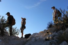
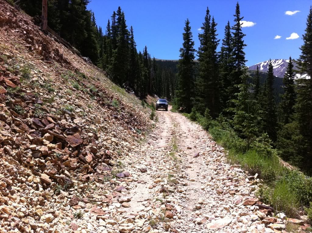
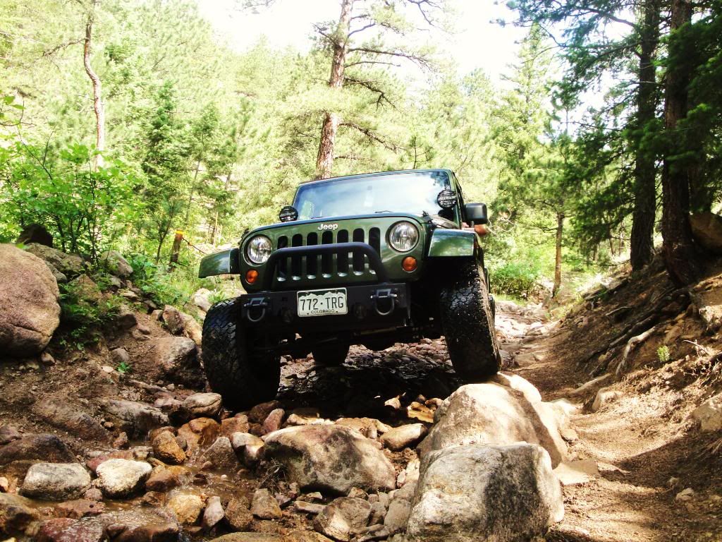
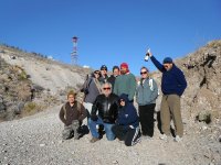
Here are some pictures of an adventure I have been tackling for 3 years now. Its called Waldorf mine trail. I think. It was made in the 1860s and claimed 6 million$ out this mine before it shut down. There are trails upon trails here and I have been here at least 10 times and still haven't covered the whole area. Every time I want to explore more in this area I always end up having to turn around because gas was getting low. This summer I plan on taking some extra gas and some camping gear to finish exploring.
Ive tried to find more info on this trail and the surrounding trails too better prepare for it but I can only seem to find info on the more common waldorf trail. It doesn't say anything about the other trails in the area that just seem to go on for ever. Even with google maps you cant clearly see where these trails lead as they go deep in the woods and the trail suddenly dissapears. But when your there, you find out that what wasn't able to be seen on google maps is actually there. And it doesnt say anything online about the trails being banned from vehicles. I even called the local sheriff and they say they haven't gone around to explore. But they do a lot of fight for life rescues in the more remote areas there.
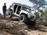
It consists of so far that I know of. 3 water crossings, one which I haven't attempted due to it being too deep for comfort. But From google maps I know it leads to a mountain top and a few old shacks. Some minor rock crawling that a stock JK will have some trouble. Steep hill climbs. 2 13,000+ altitude mountain peeks and lots of old mine stuff to explore. I mapped out everything on google maps, and i timed it out that it would take at least 2 full days to cover all the trails in this area.
Here is what I have so far.
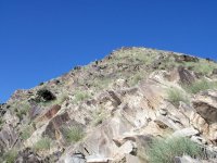
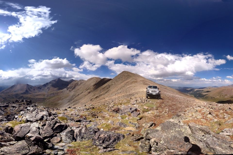
13,748 feet high! I believe its called McClellan mountain.
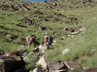
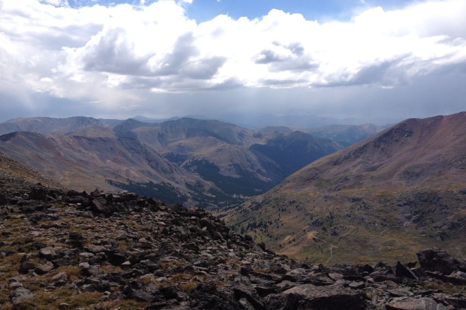
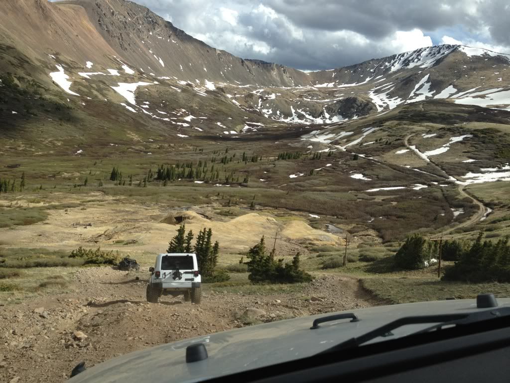
This pic is looking down. The different trails go all through that valley, up and over some more mountains.
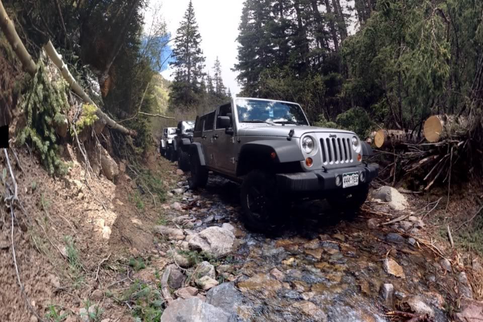
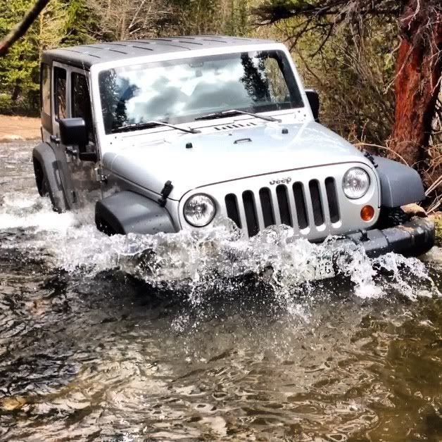
Part of the trail runs in a river for about .4 miles. It is low at this time but every other time I been 3-6" sometimes deeper in holes.
Coming down a very long and very steep hill climb. Pictures dont do justice on how steep this actually is.
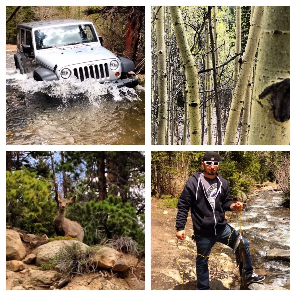
Great fishing in the stream, but I cant figure out where these fish are coming from as I thought it was all just melting galcier water. Also you can see a deer, and one of the shallower river crossings.
The river was low this last summer due to low snow pact. So I made the crossing on this one. But this summer Its going to be a differen't story as this area is on route to record breaking snow fall.
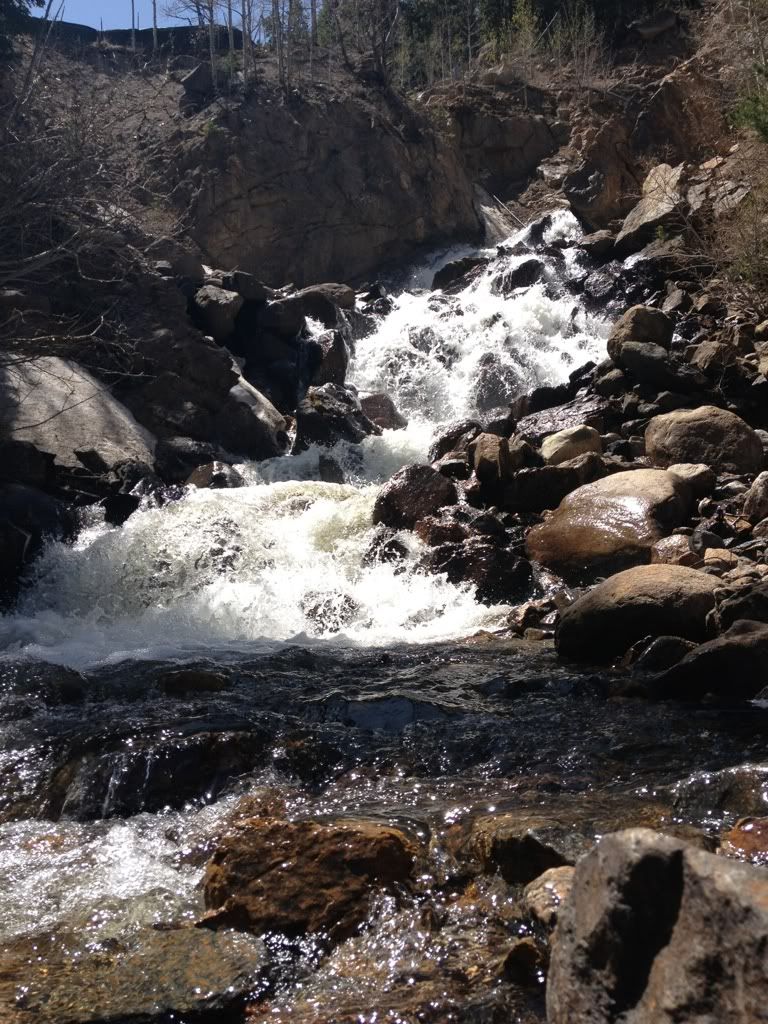
You can find this hidden water fall if you get out and hike a but.
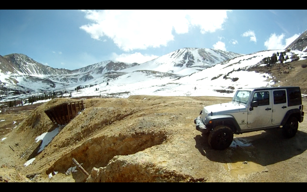
Some snow on these trails never melts.
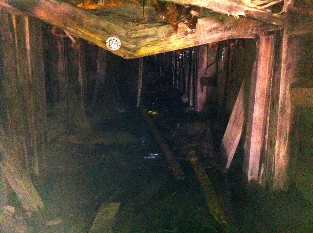
Too scared to walk in this one.(is it me or does that orb look creepy)
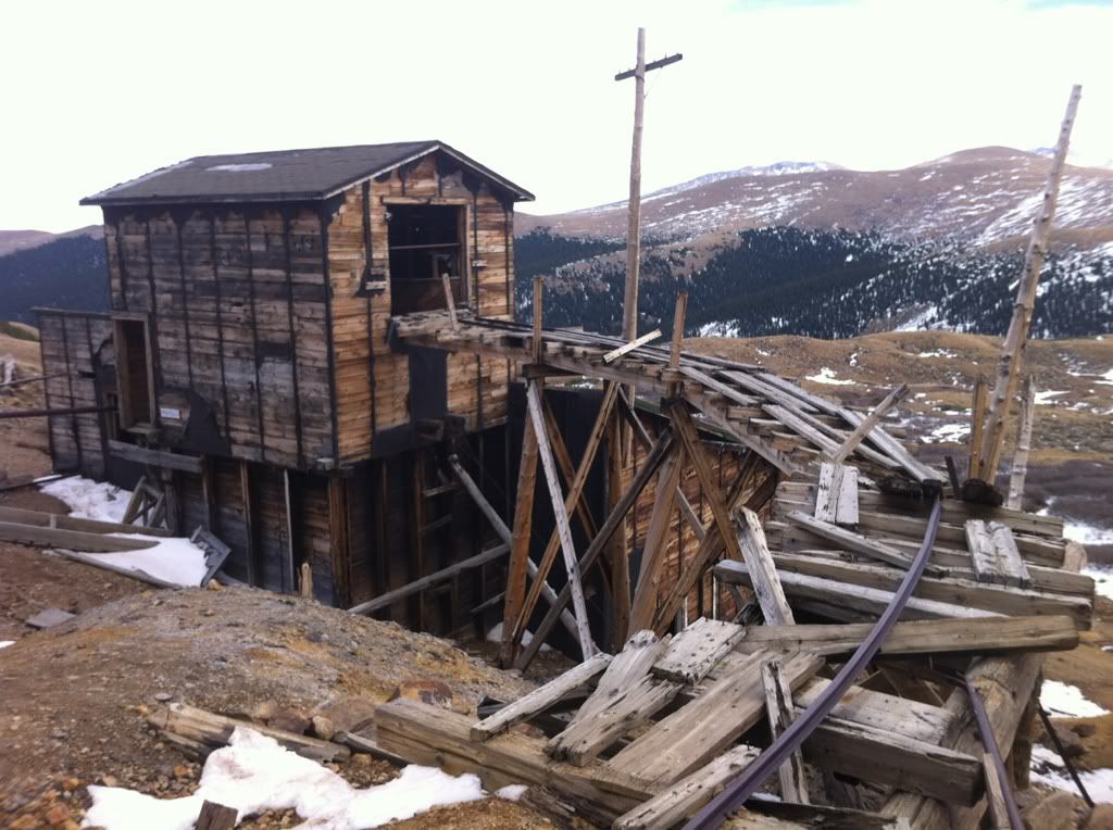
An old mine
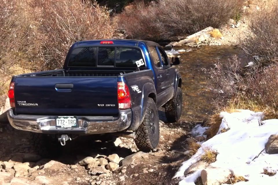
Back when I had my Tacoma on one of the crossings.
I bent a steering knuckle two summers ago on this trail. Was unable to drive out. Ended up having to walk for 2 hours to get cell signal for someone to come pick us up. Then walked 3 more hours to a familiar part of the trail so my buddy can find us. It was 3 am by the time we got picked up.
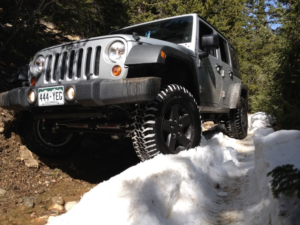
My old 07 jk on this trail way back in the day


