British Columbia Shelf Road Driving - Molybdenite Ridge

fifthconspiracy

New member
Last weekend I took a few friends up one of the most stellar trails in all of British Columbia, Molybdenite Ridge.

The views are stunning, the weather changes every 15 minutes and the shelf road along the ridge is thrilling to drive. Most of the shelf is about as wide as your Jeep with a few thousand foot drop and off camber sections. Just plain awesome in my book.

We camped overnight at the saddle (about 8200 foot elevation) and the wind was blowing hard. The next morning we visited the nearby lake which made for some fantastic photos.

Here's a short video of the trip. Enjoy! ~ Paul.

 
Last edited:

Beyrgut

New member
By far of all the places I have been around the world BC has been the most breath taking. Disclaimer: Only during non winter months.
 

TrailBear

New member
That's one on my list, I think it's to late for this year, hopefully next, the views are amazing thanks for sharing.
 

2007 JKU

Banned
Thanks..looked like a great trip!

Question at approx. 4 min it looked Tight..I'm 84" wide at the tires....think I'm wider than what I vehicles saw on the trail.
Would that be a issue?
 

NFRs2000NYC

Caught the Bug
Last weekend I took a few friends up one of the most stellar trails in all of British Columbia, Molybdenite Ridge.

The views are stunning, the weather changes every 15 minutes and the shelf road along the ridge is thrilling to drive. Most of the shelf is about as wide as your Jeep with a few thousand foot drop and off camber sections. Just plain awesome in my book.

We camped overnight at the saddle (about 8200 foot elevation) and the wind was blowing hard. The next morning we visited the nearby lake which made for some fantastic photos.

Here's a short video of the trip. Enjoy! ~ Paul.


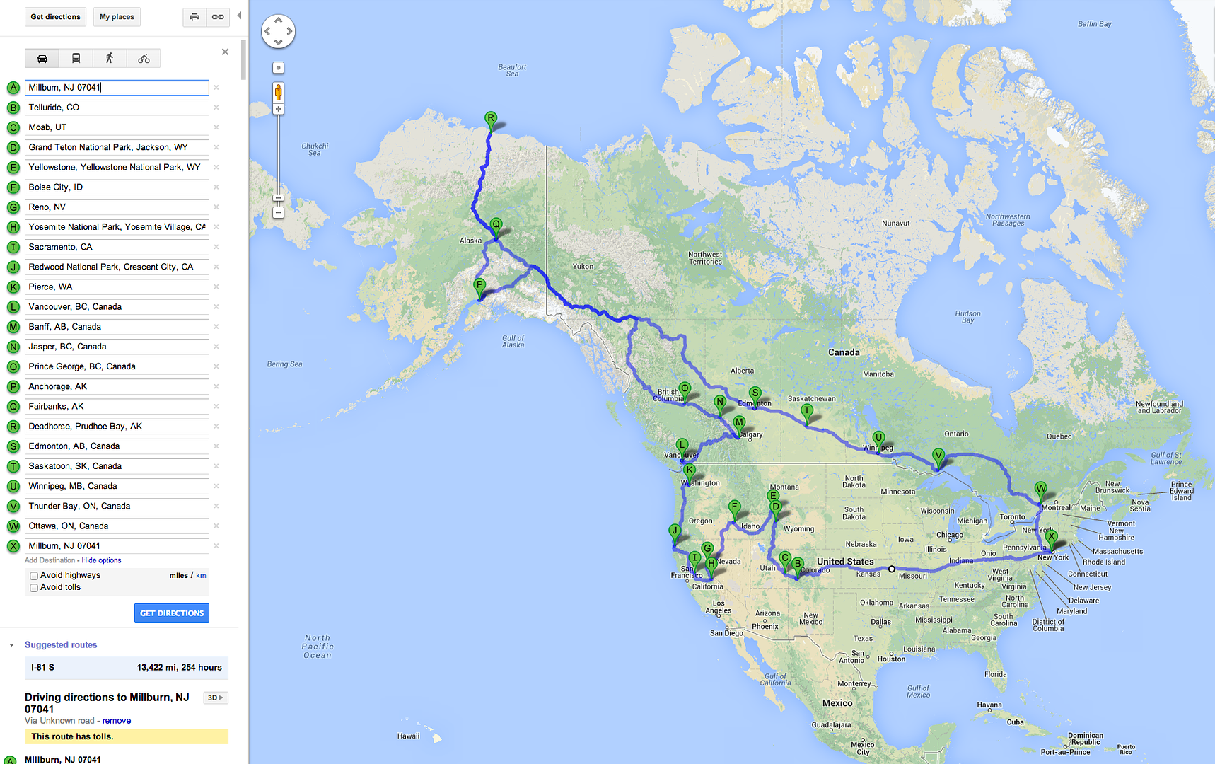
Always a huge fan of your work Paul, keep it up. Im looking to do a monster road trip next year...


and I was wondering if you knew of any good offroad trail books for BC? I would love to wheel around BC on my way north. Thanks for any and all help!
 

MTG

Caught the Bug
Always a huge fan of your work Paul, keep it up. Im looking to do a monster road trip next year...


and I was wondering if you knew of any good offroad trail books for BC? I would love to wheel around BC on my way north. Thanks for any and all help!

:shock:

When you get to "G" let me know. :cheesy:
 

jeepgreenjon

New member
Great Video! I was thinking next summers trip would be out east but I am now convinced it will be out west! I have to check that trail out! Thanks for the video!
 

fifthconspiracy

New member
Thanks Guys! Glad you enjoyed the video.

The ferry is a reaction ferry. The first time I went across (last year) I was a little nervous... I mean the Fraser River is really moving and the whole craft is suspended on the river by one line and two main guide cables. This time the crossing was even shorter as the river was moving quite fast... about 3 minutes across.

There are parts of the ridge where it was as wide as my stock axle JKU... but I don't see why a rig that was a little wider couldn't just ride up the high-side a bit... you'd just have to be ok with tilting 15 degrees driver's side ;-) I had a pilot's license in a former life, so I'm not afraid of heights.

If anyone is ever in the area and wants a guided trip, let me know... I'd go again and again. Keep in mind that the trail is only open from August to Mid-October due to snow and also it's a protected grizzly bear habitat. It's about 3.5 hours from Vancouver, or 2.5 hours from Whistler if you come from the North via Lillooet.

Earlier in the summer, I took the family on a trip to the Kootenays. There, we climbed Lavina peak which was insane height with some of the most steepest trails I've ever driven on. Coming down was tricky. Here's the video... fast forward to the 5:00 minute mark for Lavina.


Cheers! ~ Paul.
 

fifthconspiracy

New member
Sounds great. Do you use a forest service type map or something? How do you find out about all these trails?
I typically use the BC Backroads Mapbook digital maps which I overlay on Google Earth and then bring with me in MotionX on the iPhone. And I do a serious amount of internet research as I plan ;-)
 
Top Bottom