Thanks to the epic amount of snow and rain we've received this winter, water from the Walker River has started to flow into Walker Lake again and if you can believe it, for the first time in over 6 years. Of course, when Cindy and I caught wind of this, you know we had to see it for ourselves especially being it may be the only time we'd ever get to see it. Here are a few pics from our recent expedition.
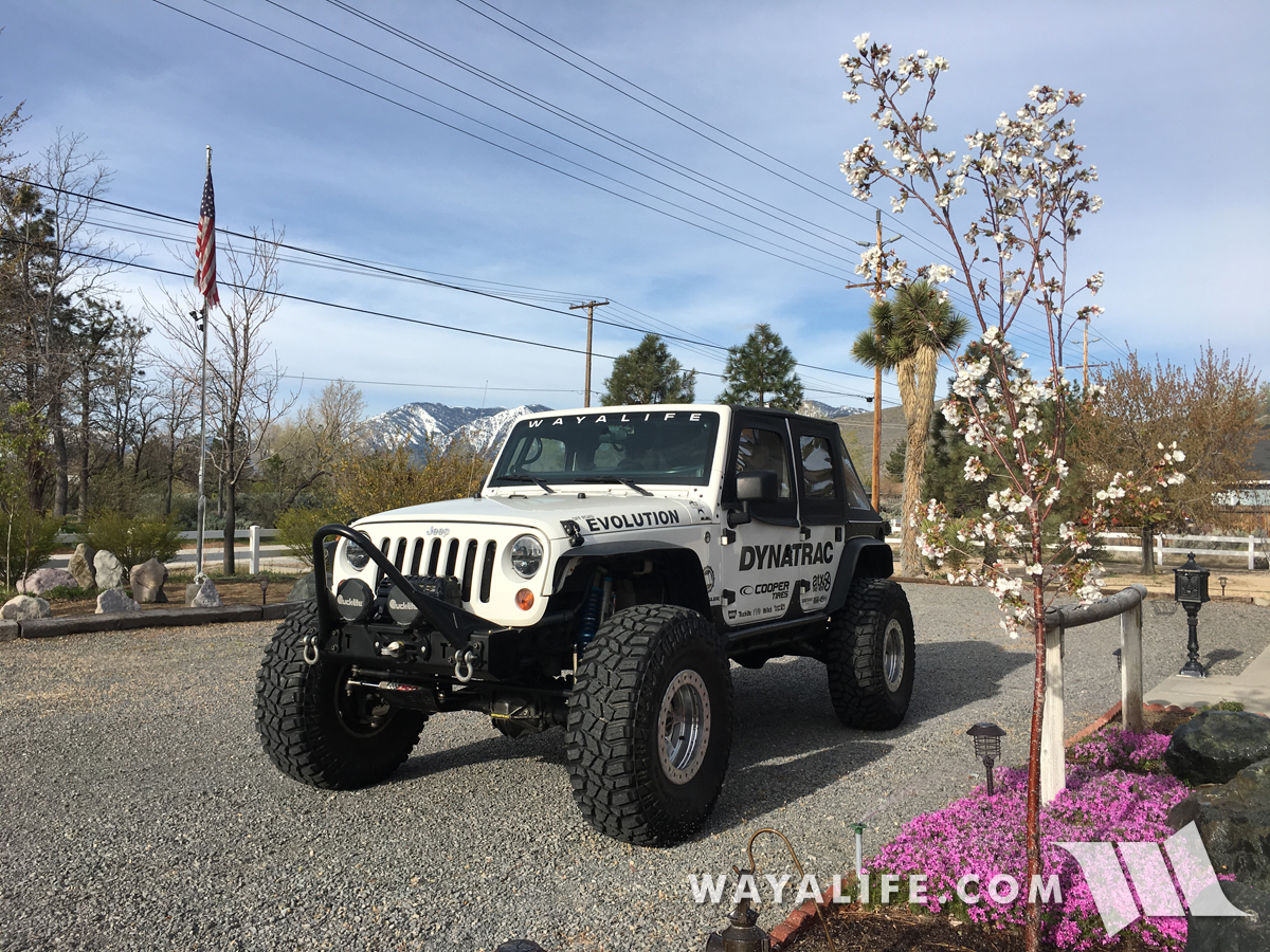
Being a last minute thing, we loaded up Moby with the basics and got ready to head out.
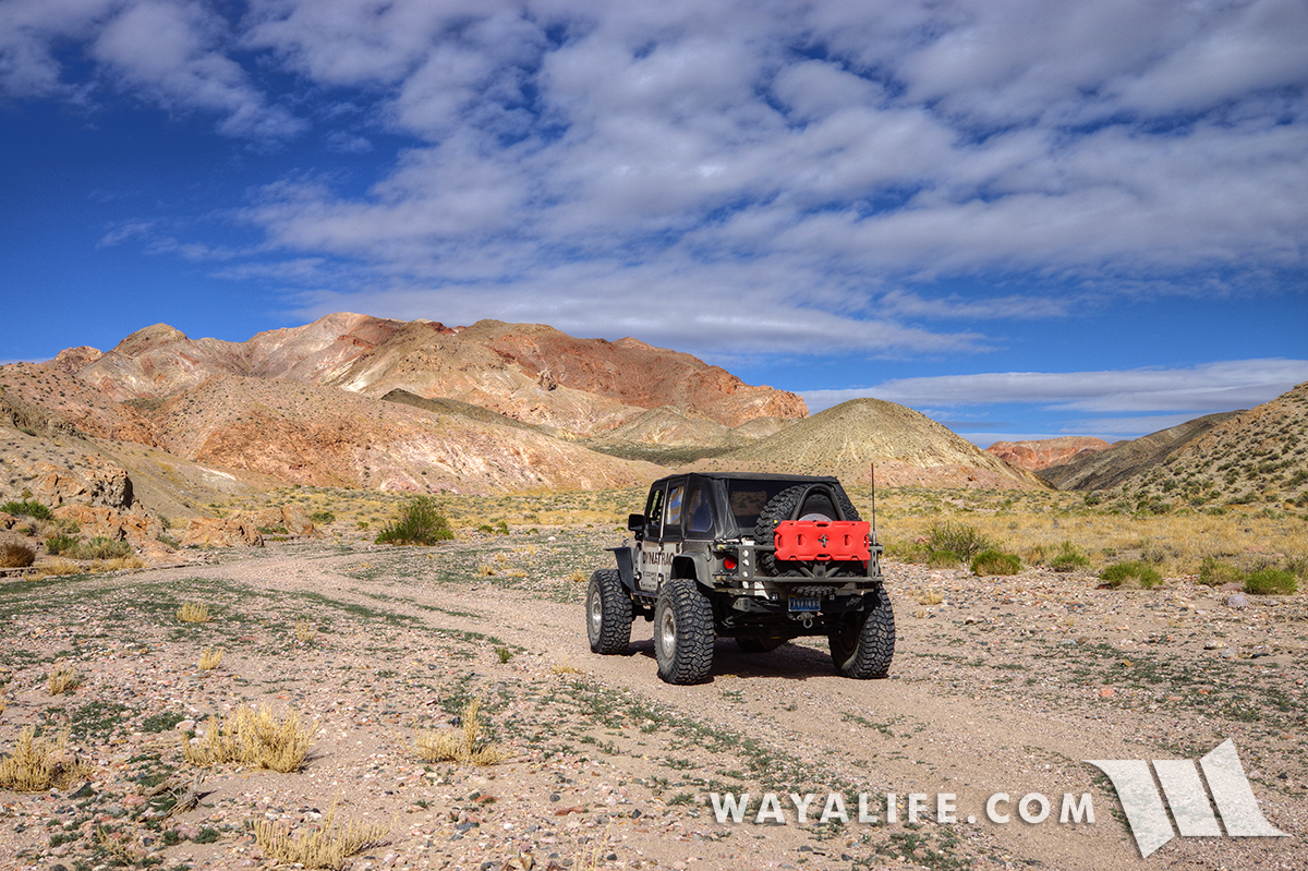
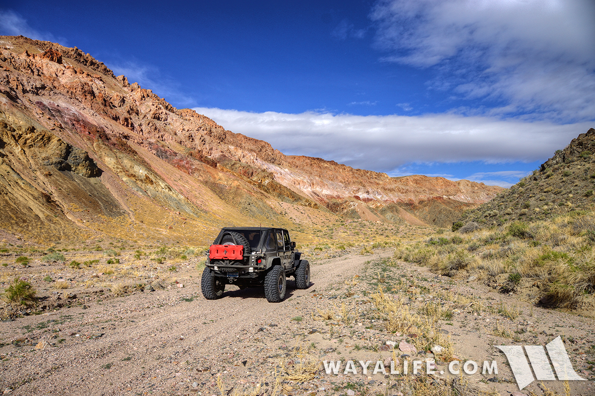
Making a stop along the Pony Express overland route on our way down.
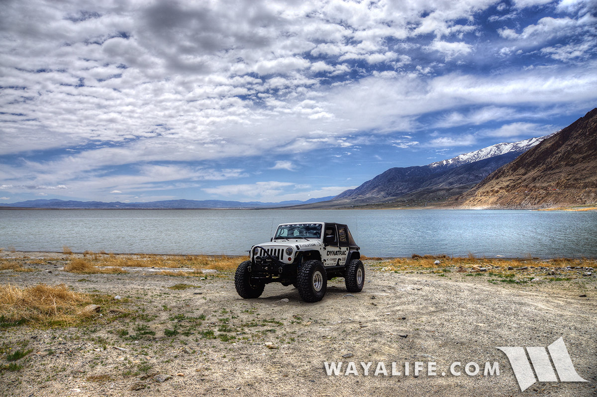
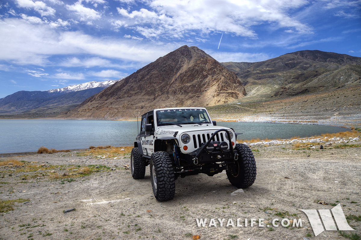
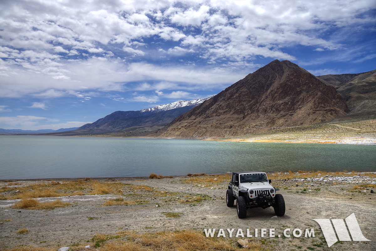
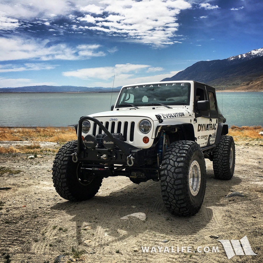
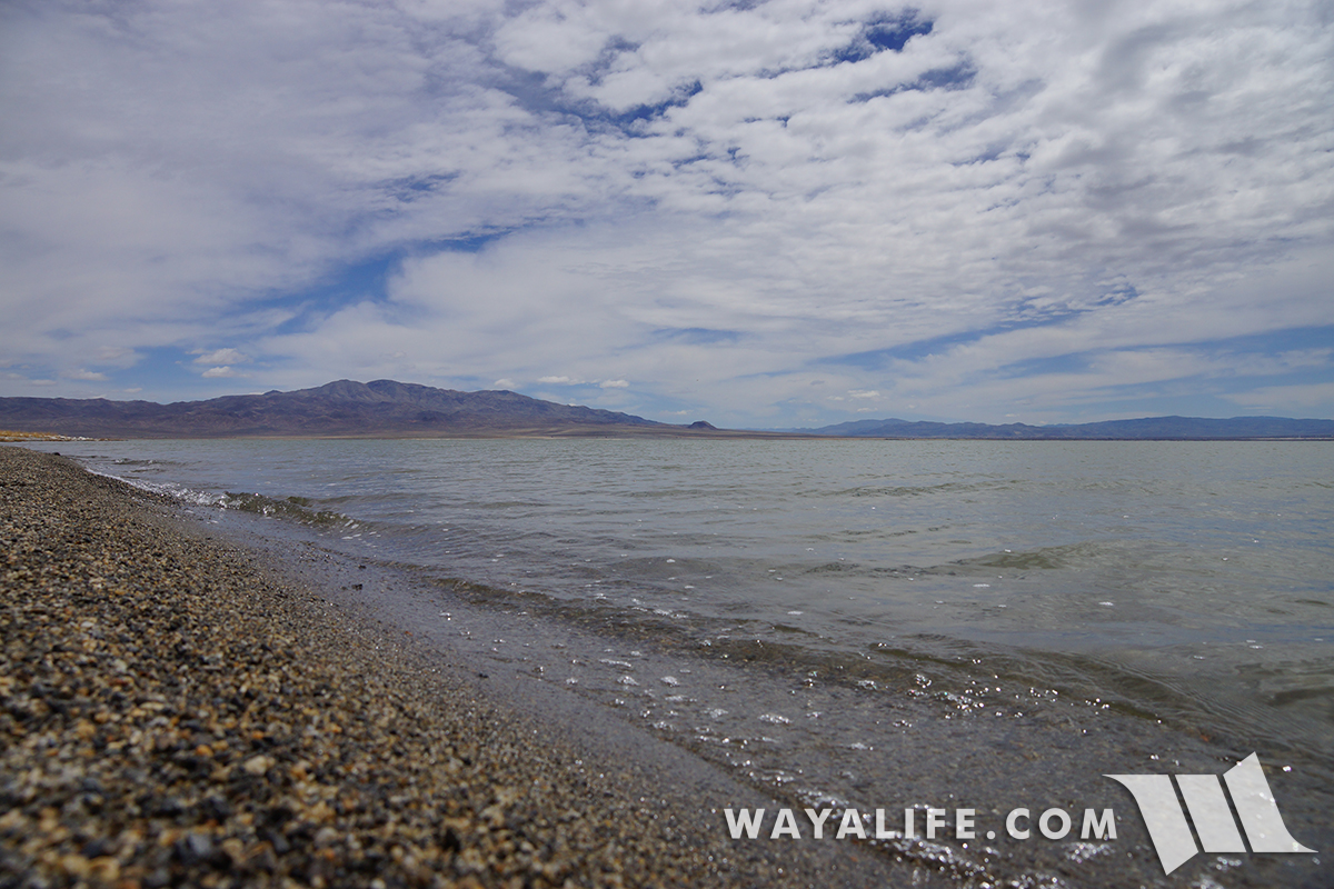
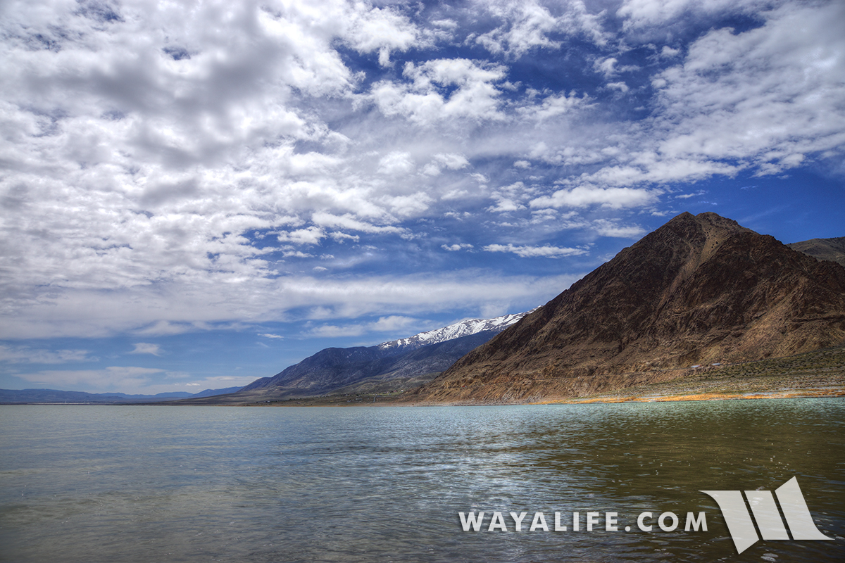
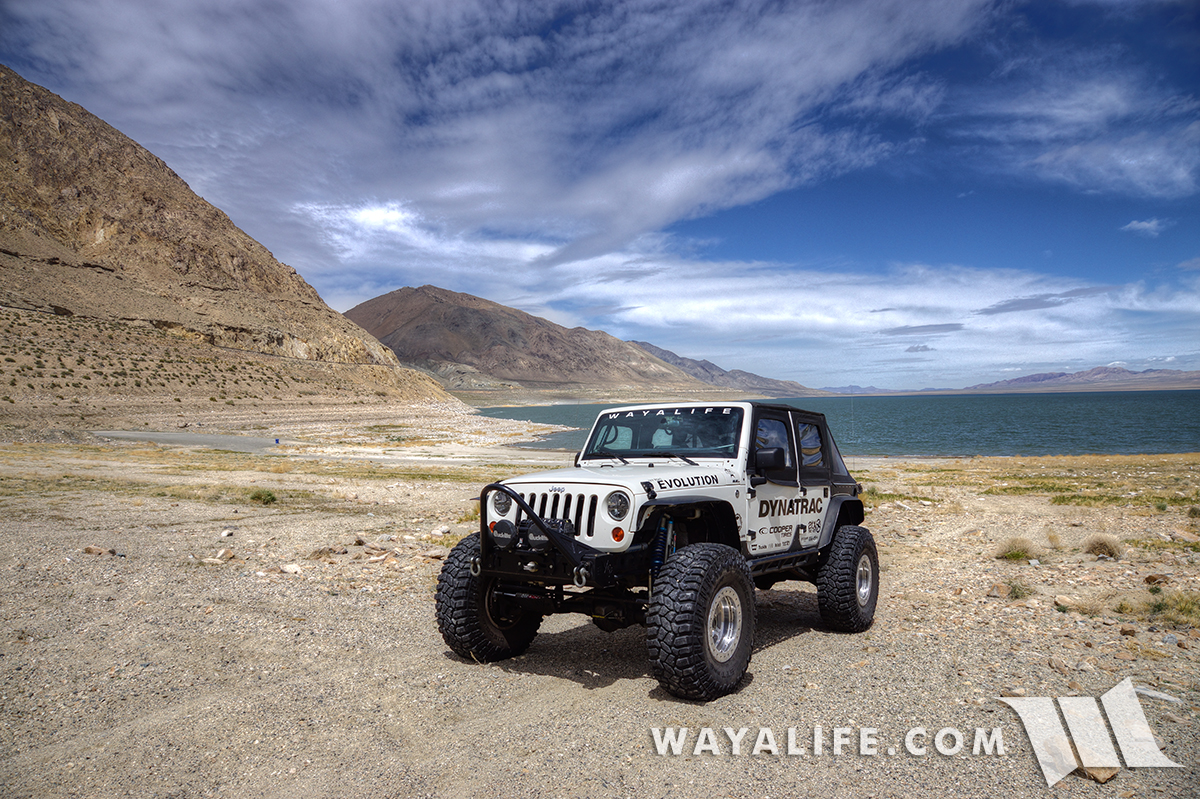
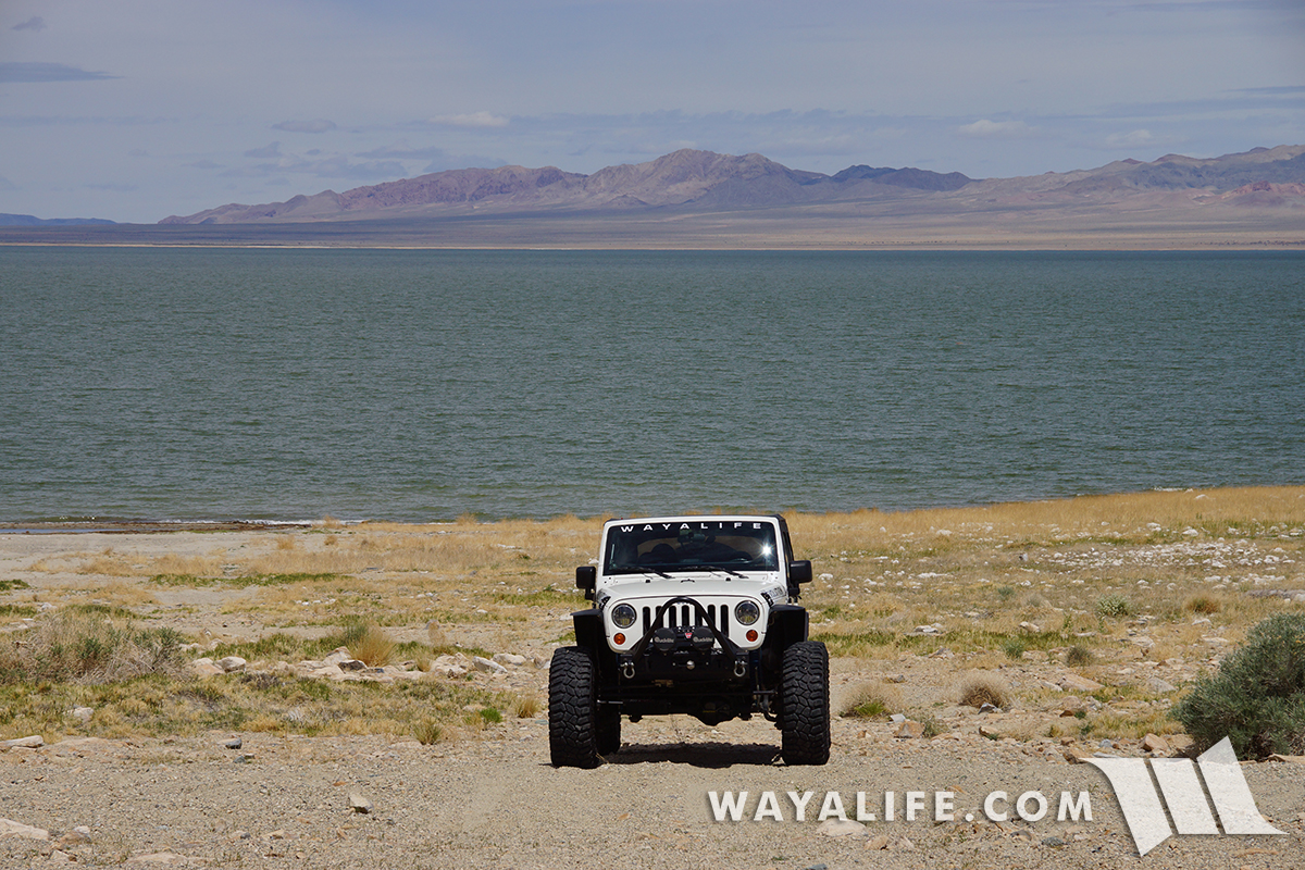
Here at Walker Lake and parked long the western shores of Sportsman's Beach looking south.
Over 12,000 years ago, there was an enormous body of water that covered most of northwestern Nevada and it was known as, Lake Lahontan. With a surface area of over 8,500 square miles, it was at the time, one of the largest lakes in North America. Today, Walker Lake stands as one of two bodies of water that are remnants of this ancient lake.
With no outlet and fed only by the Walker River, Walker Lake is known as a desert terminal lake. While it has survived for thousands of years, the level of the lake has dropped over 180 feet since 1882 when water up the river was diverted for irrigation. Today, Walker lake only measures about 11 miles long and only 5 miles wide as it has lost over 80% of its volume.
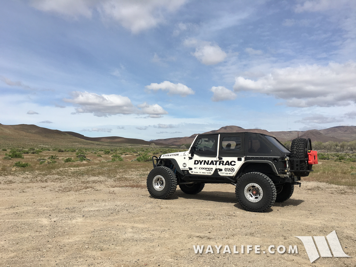
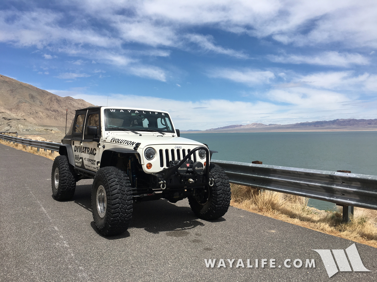
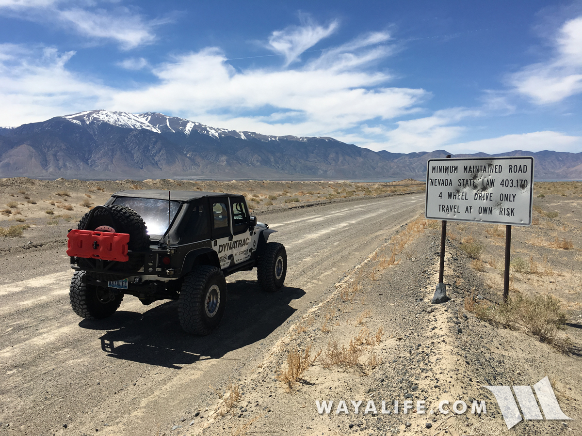
Heading south on Highway 95 to our next stop along our journey.
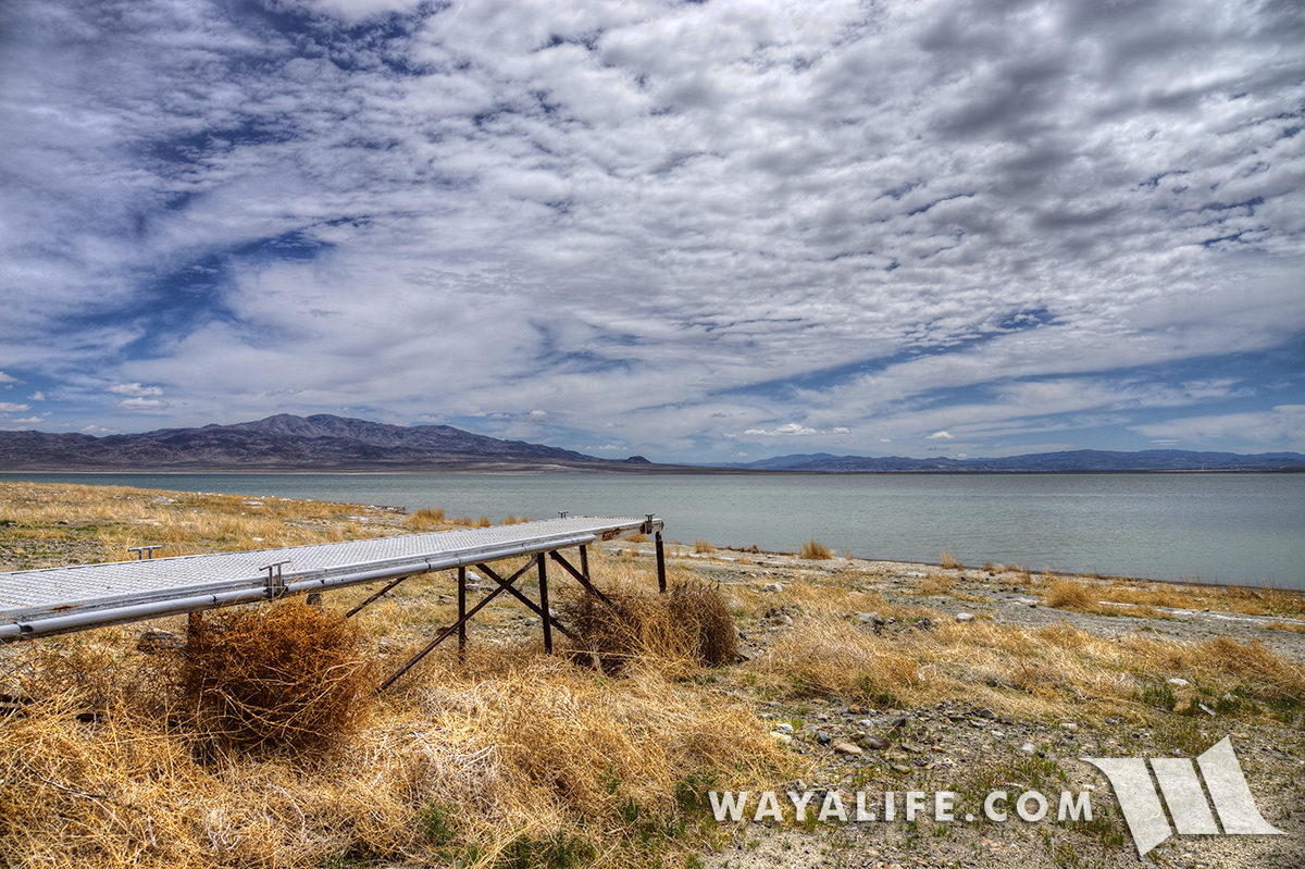
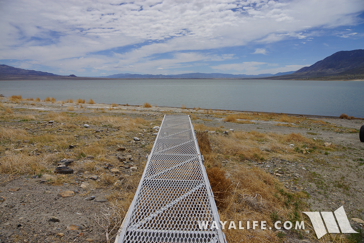
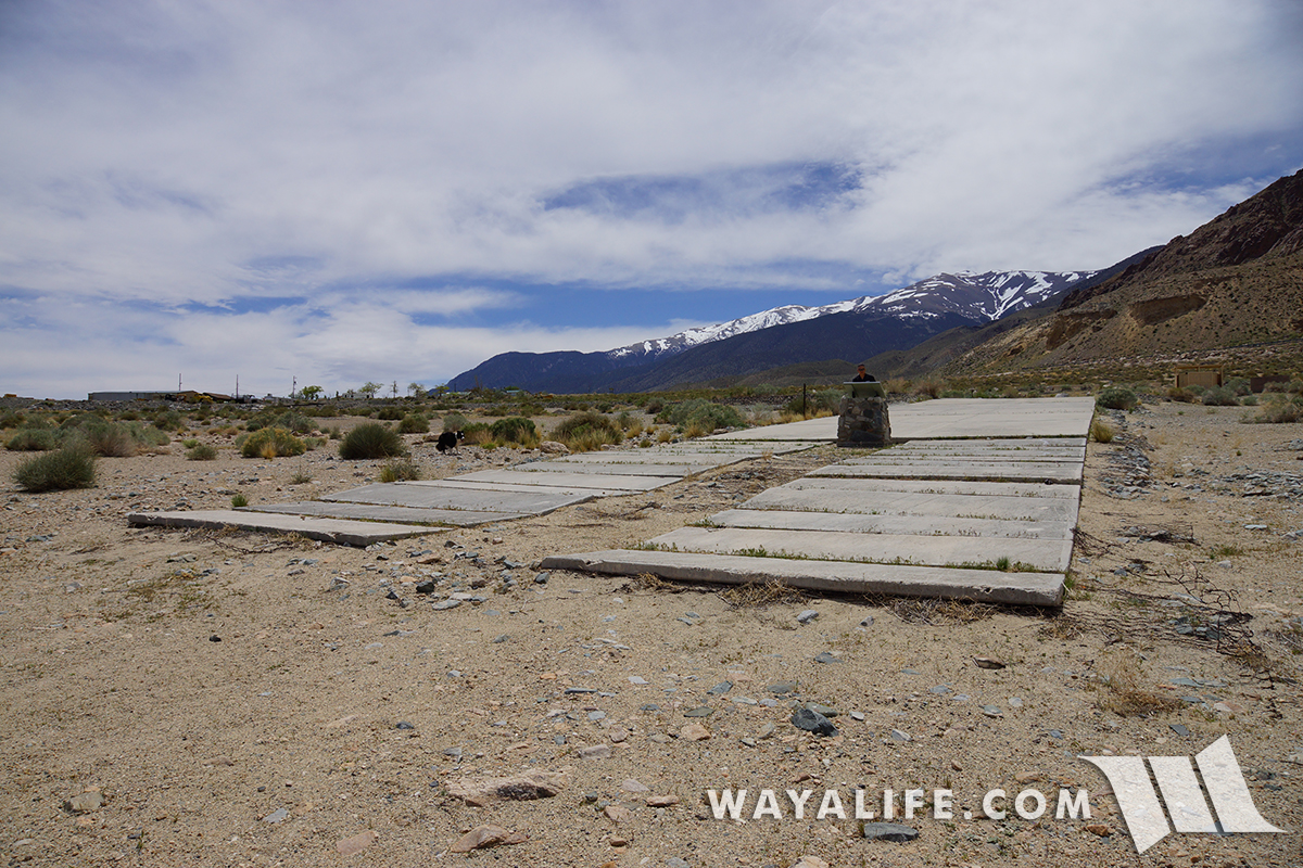
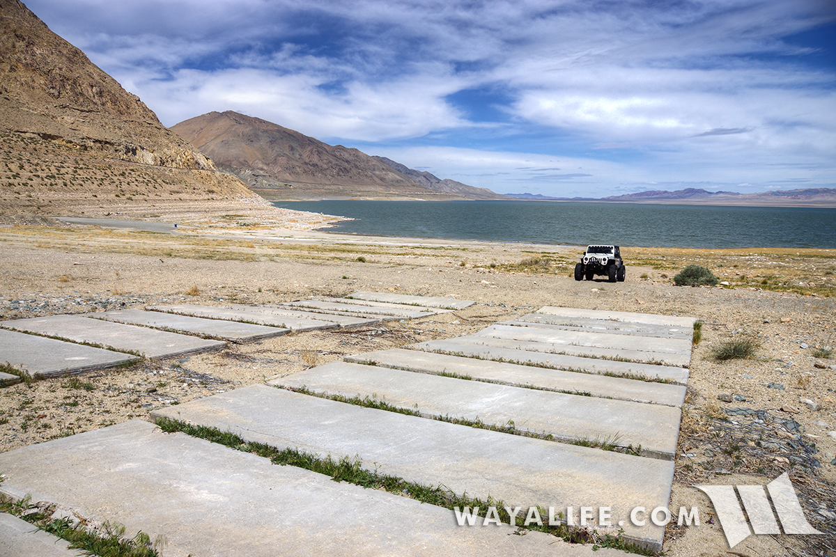
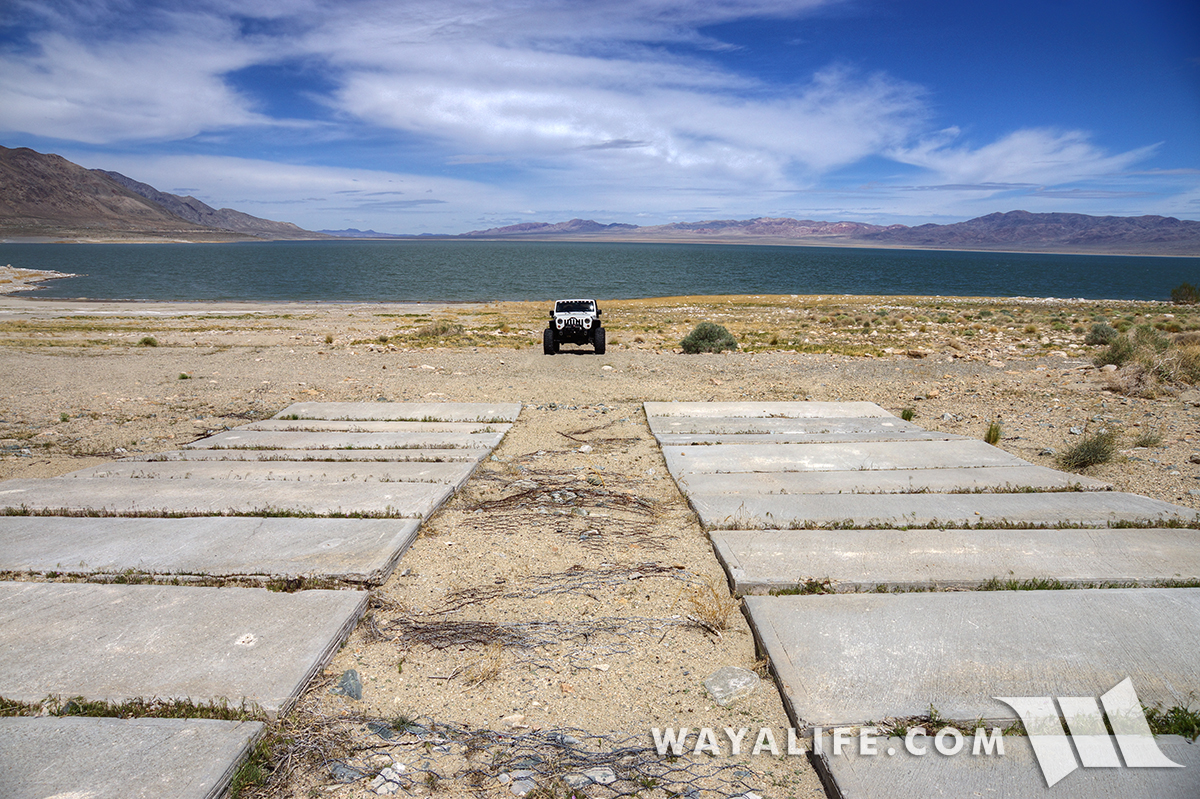
Here we are parked well below the boat ramps at Monument Beach.

Looking up toward the futile attempts to extended ramps and the monument placed between them.

After gassing up in Hawthorne and having some lunch, we made our way around to the east side of the lake.
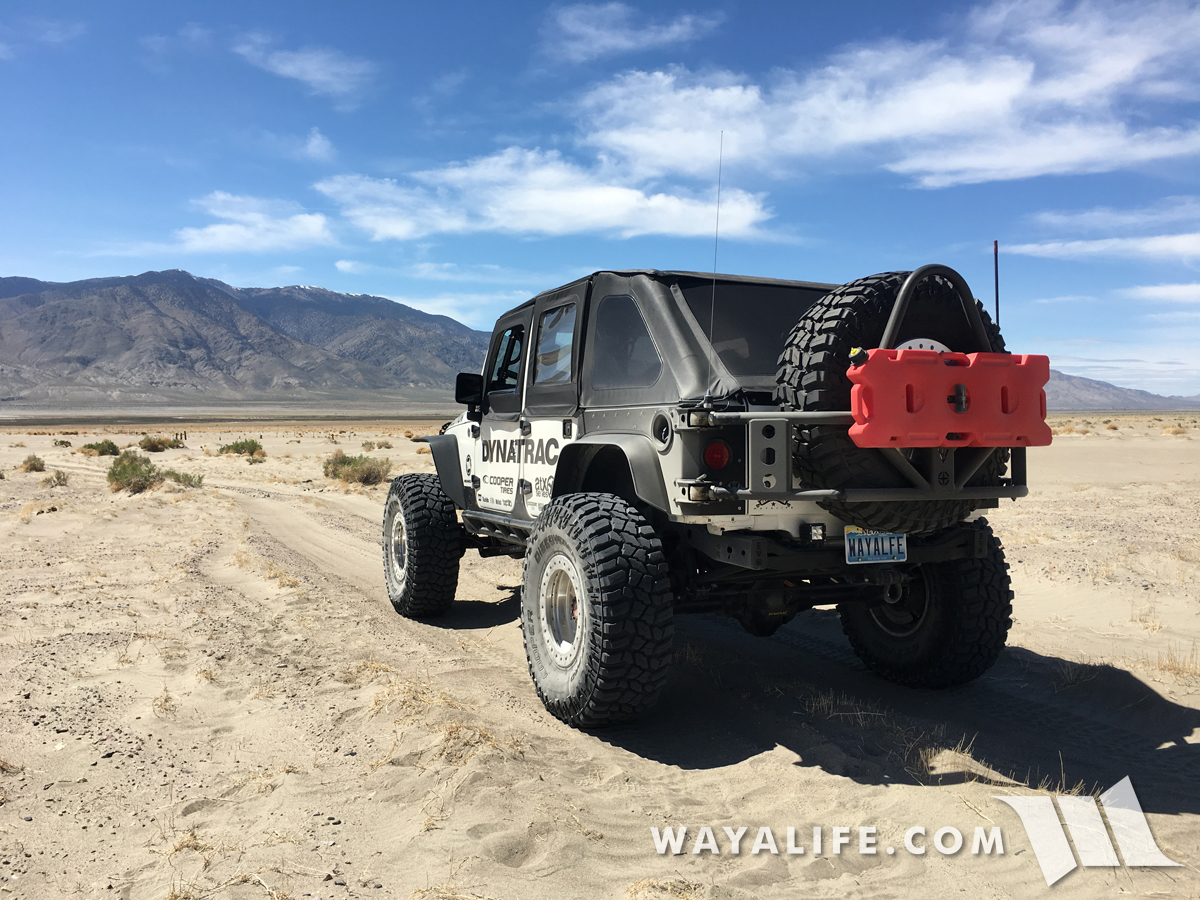
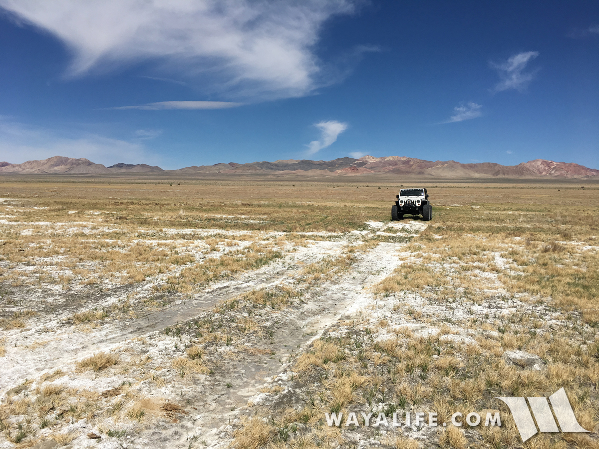
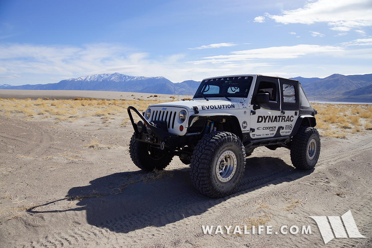
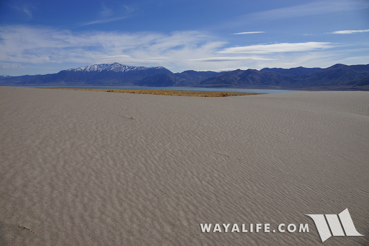
Running on top of wind swept dunes, the trail to the delta gets faint from here.
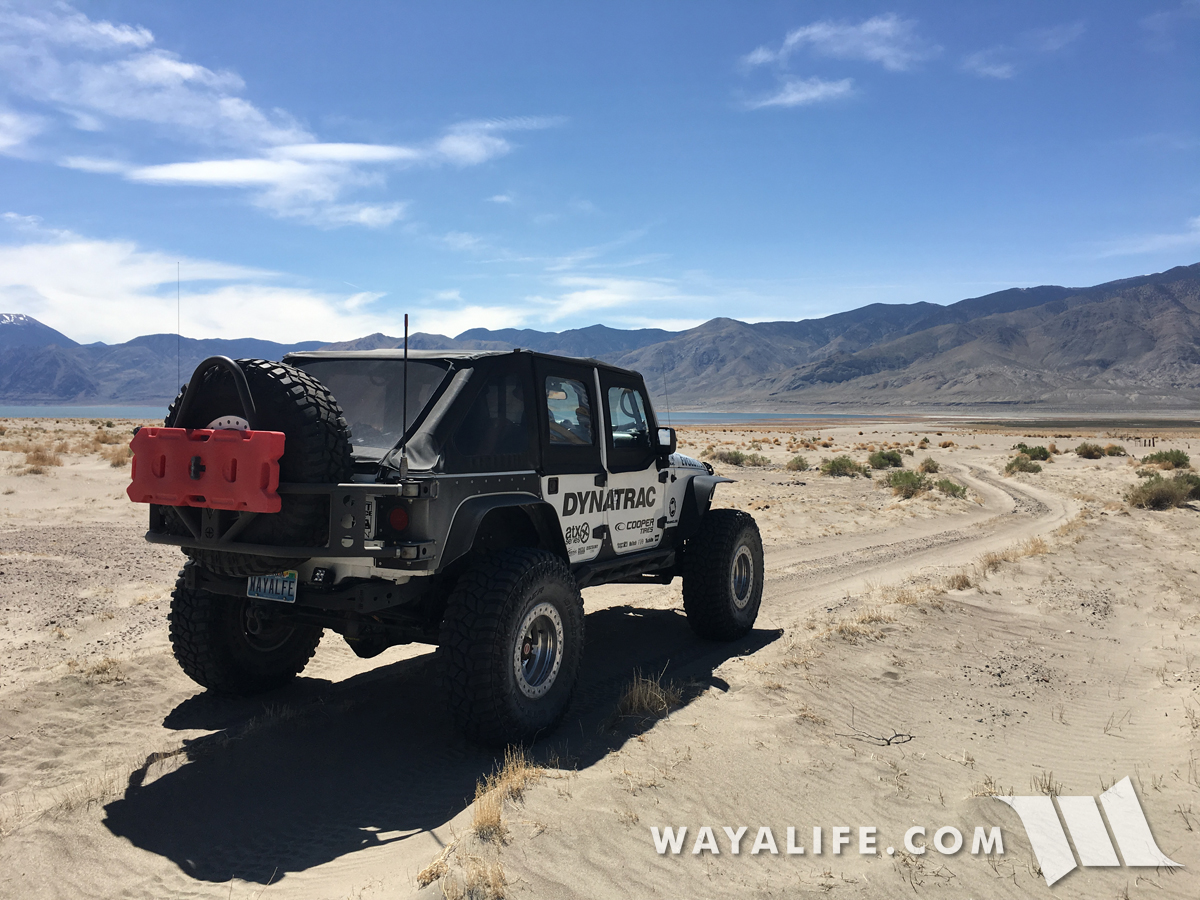
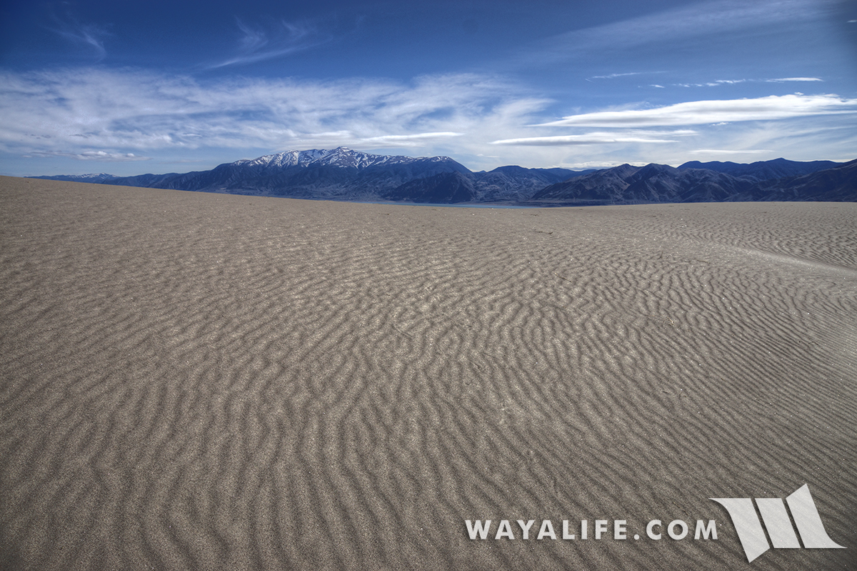
Out in the middle of nowhere but getting close to the delta of the Walker River.
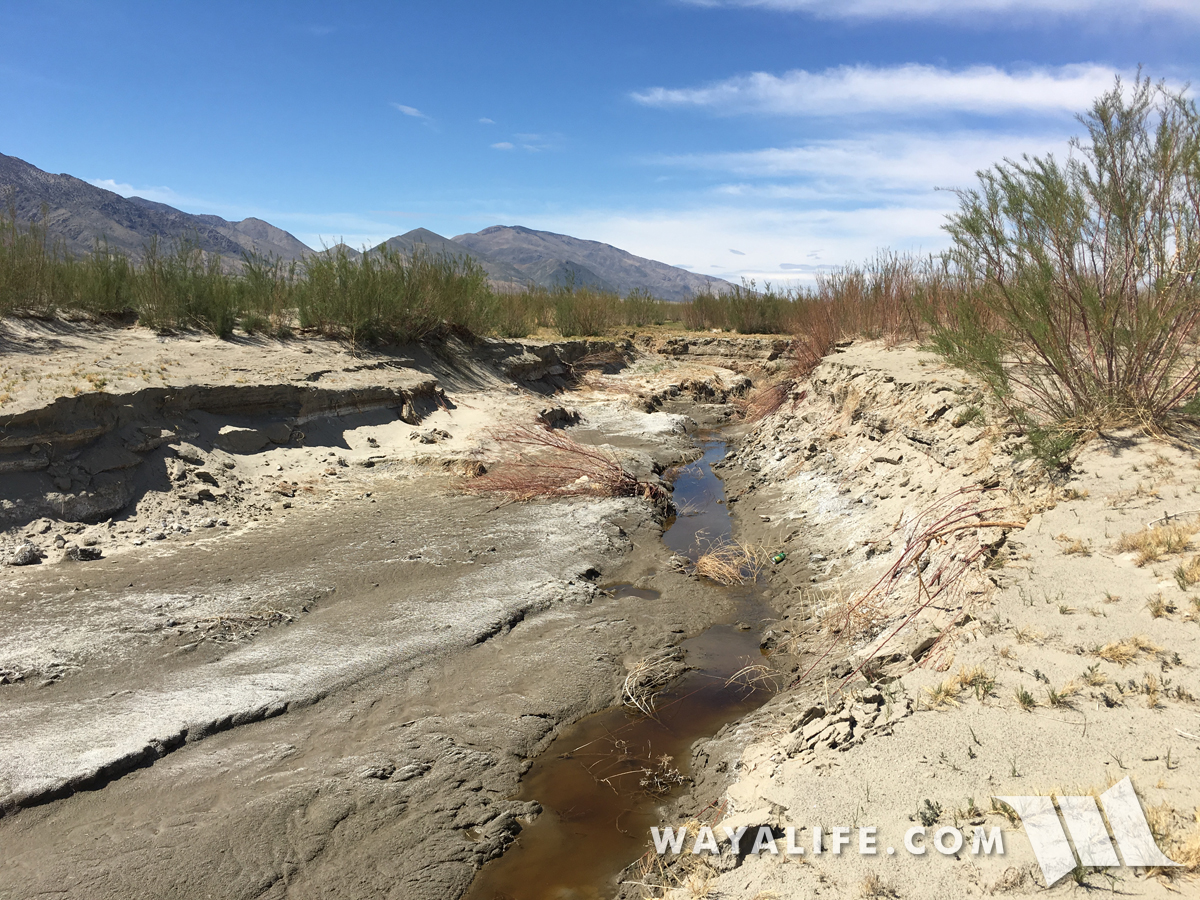
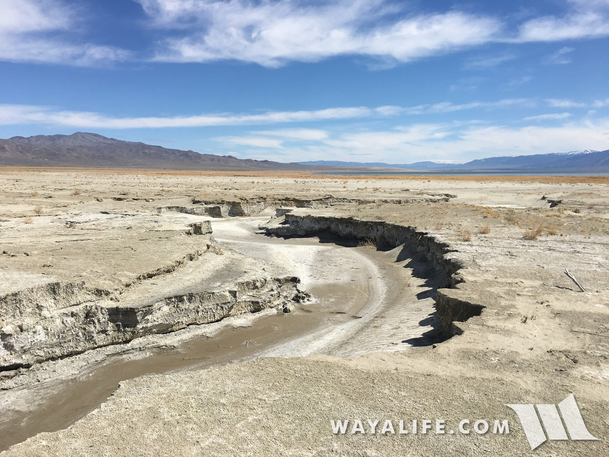
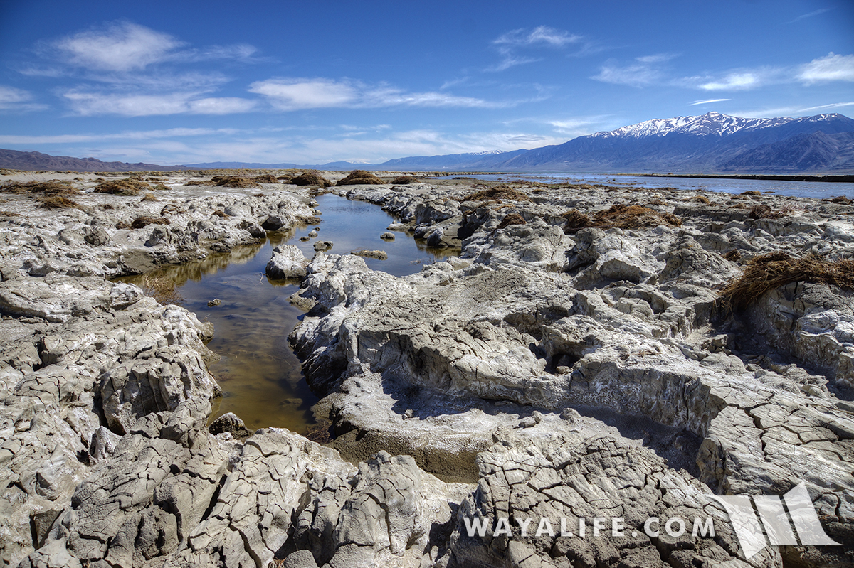
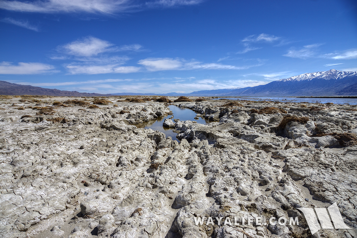
The first slough we encountered was relatively dry but you could tell that fast moving water moved through it recently and crossing it our Jeep would be hazardous.
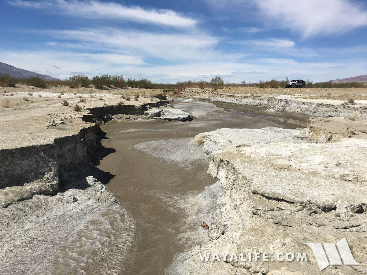
Looking back at Moby as we carefully making our way to the main channel on foot.
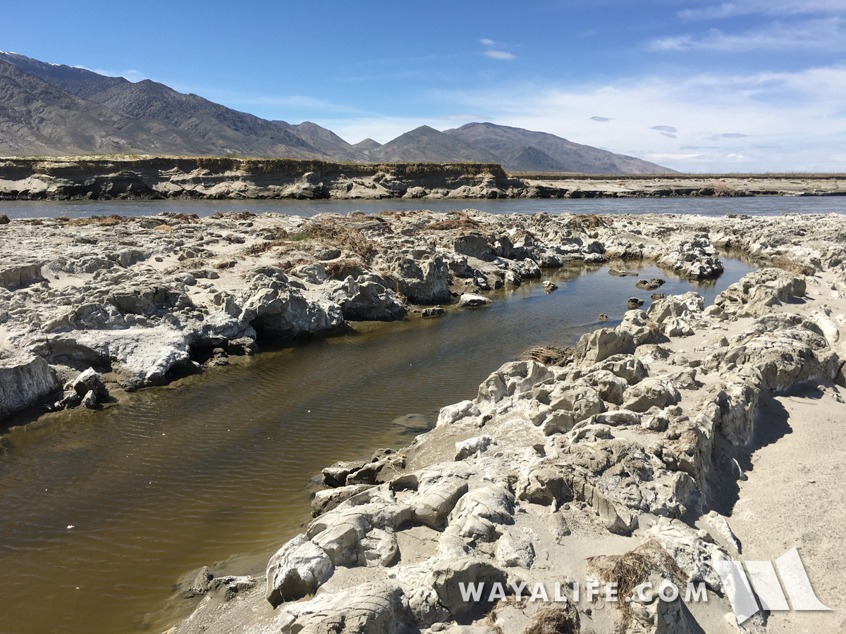
This finger of the delta flows into the ground.
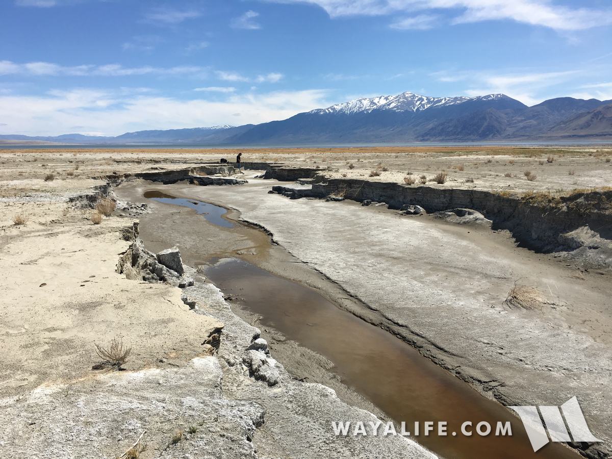
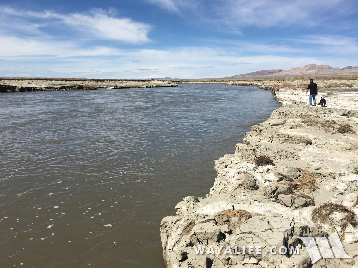
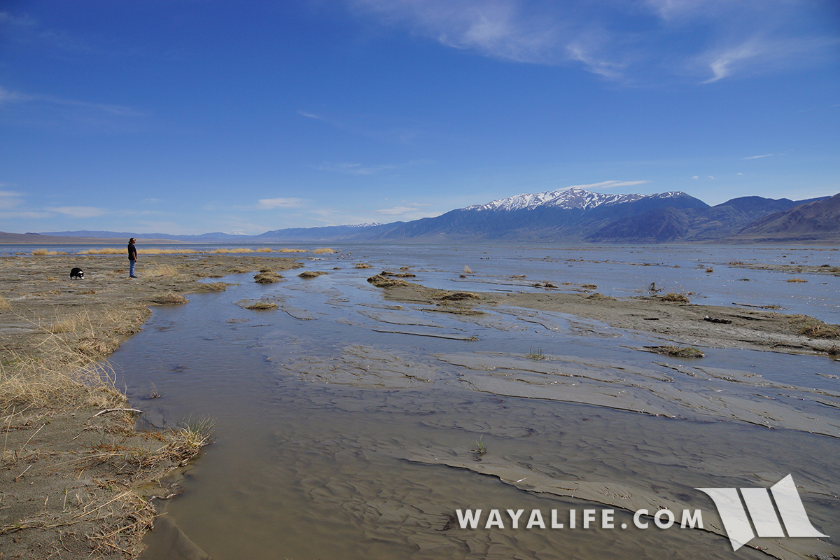
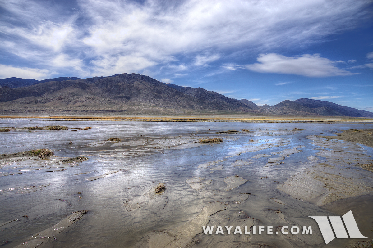
Here we are at last - the main channel of the Walker River!
Amazingly, it's a LOT bigger and wider and flowing a lot faster than we had imagined!
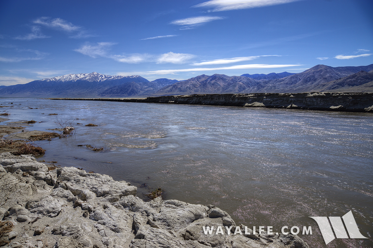
Shot of the river emptying into Walker Lake.
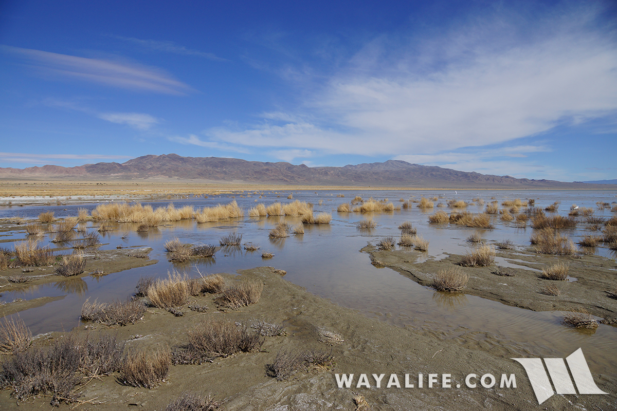
Along the banks of the river, you can see how much higher and turbulent the waters had been recently.

Walking along the river and out to the lake.
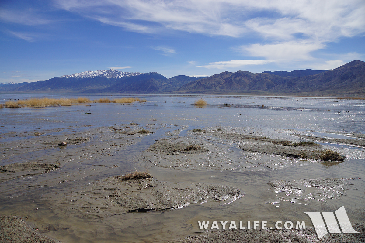
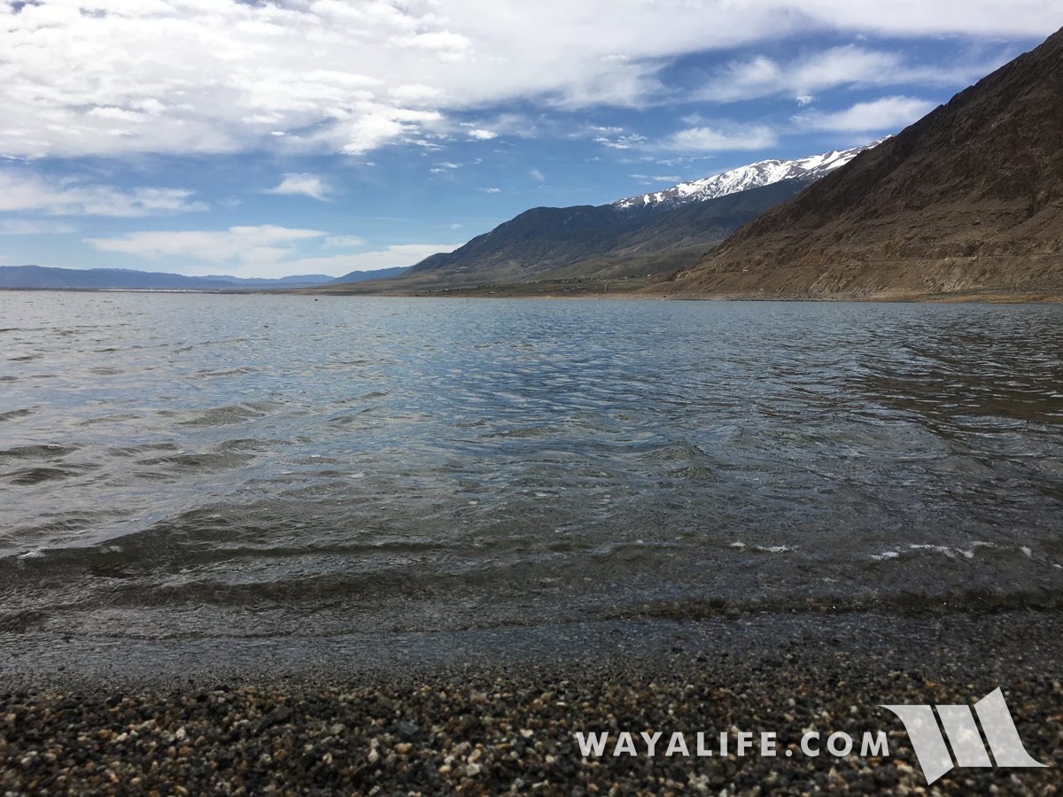
Looking across the Walker River and out toward the Wassuk Range.
This is a view looking southeast toward the Agai Pah Hills.

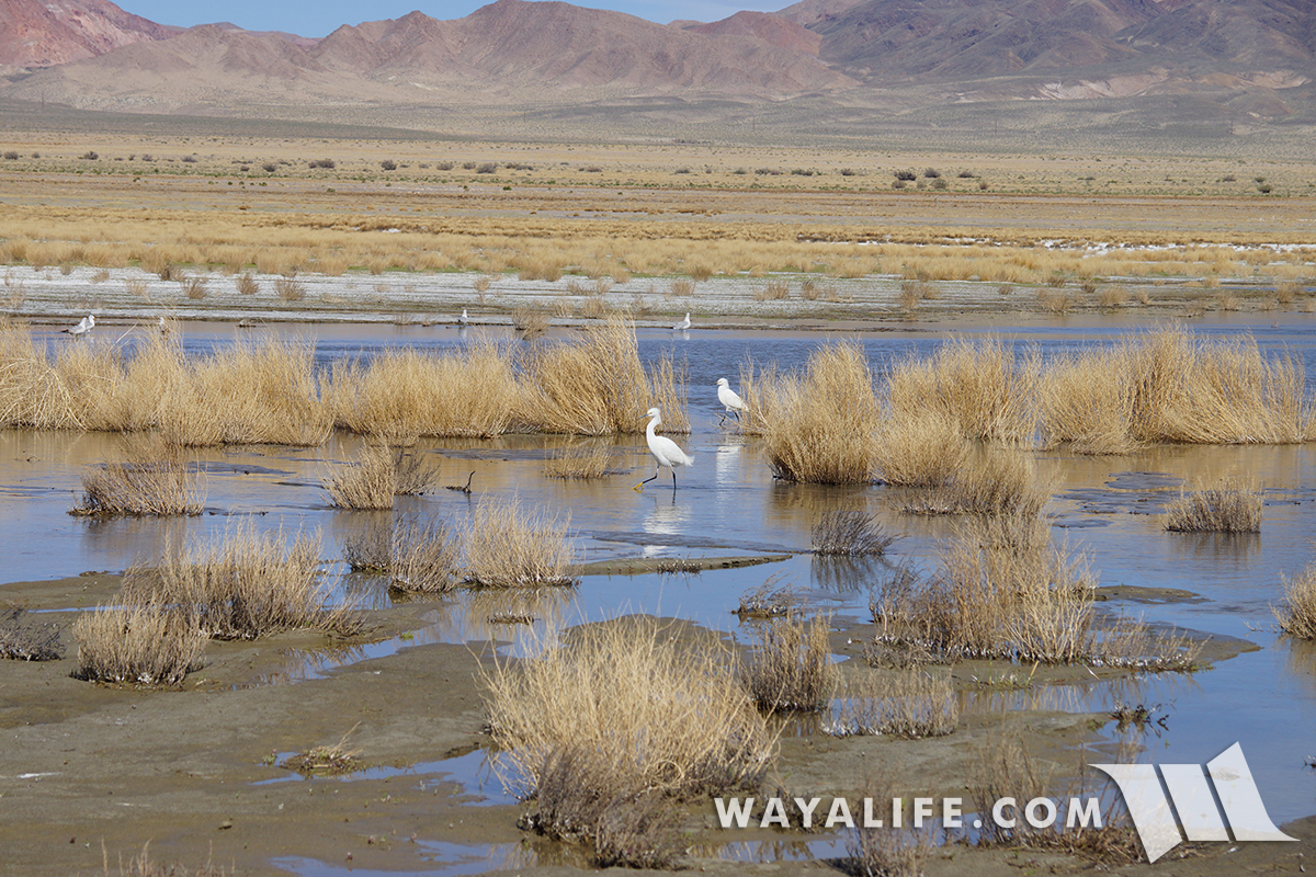
A lot of birds were present here at the delta including Western Gulls and Snowy Egrets.
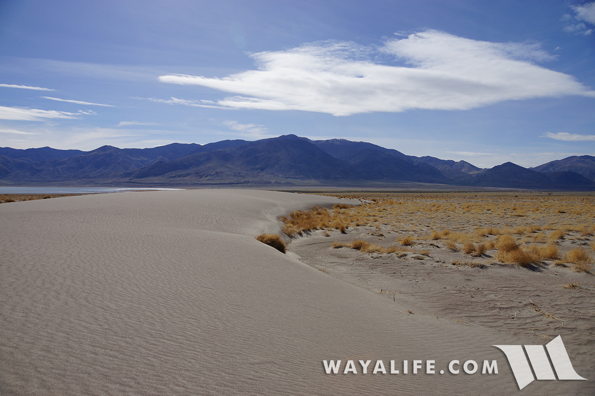
After spending a better part of our day along the banks of the Walker River delta, we started to make our way back to the main trail and stopped at a small dune, what was probably a nice sandy beach just 40 years ago and to take in the view.


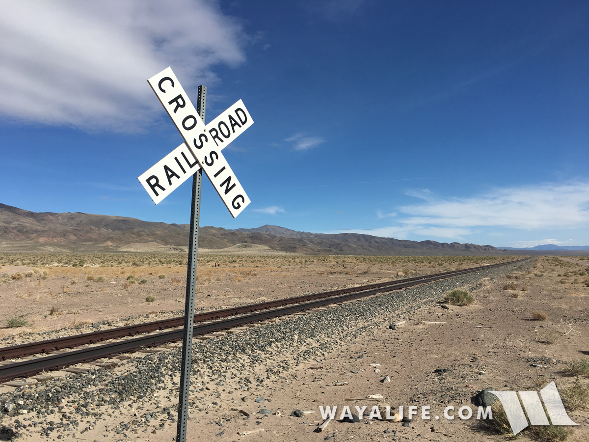
Back up along a set of seldom but still in use tracks leading into the Hawthorne Army Depot, the "worlds largest" ammunition depot.
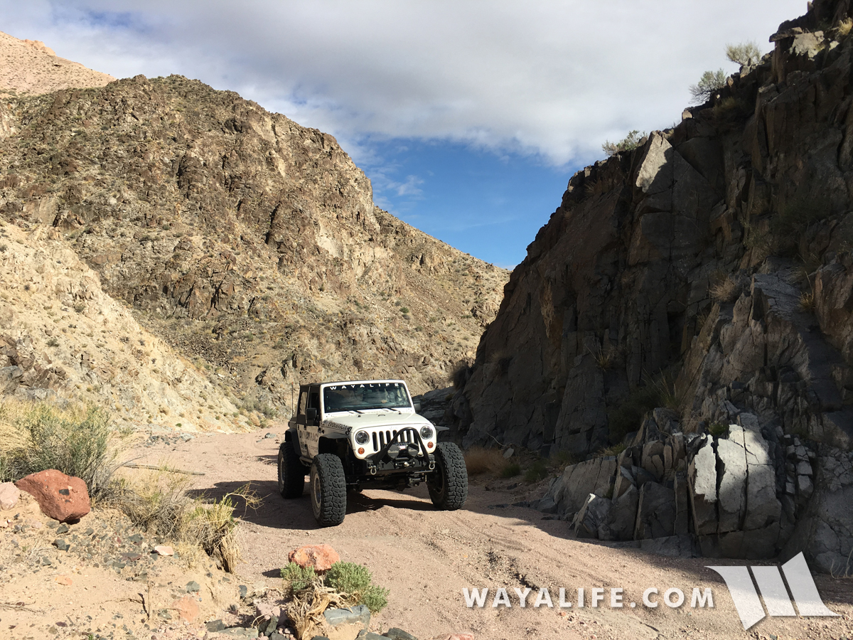
Instead of heading back the way we came, Cindy and I decided to take a "long cut" back to pavement.

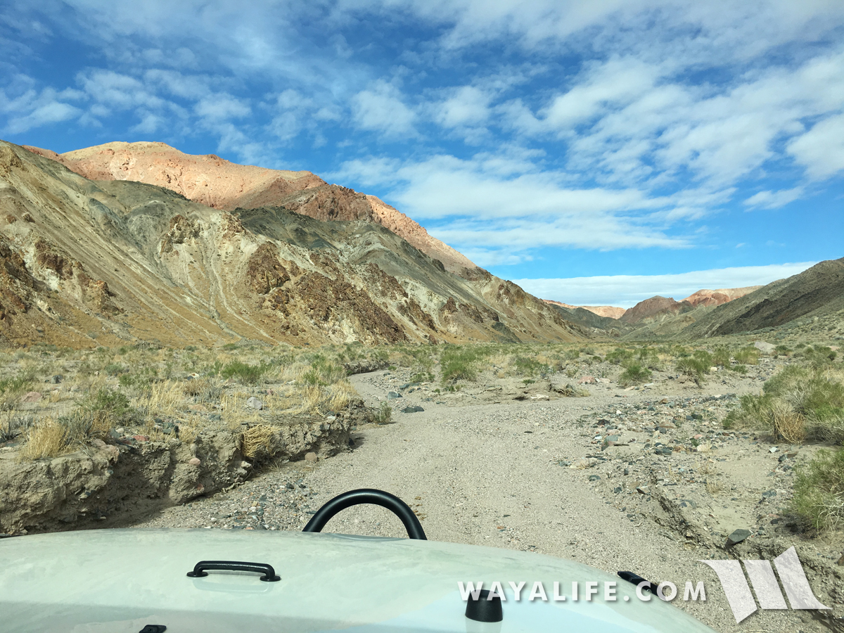
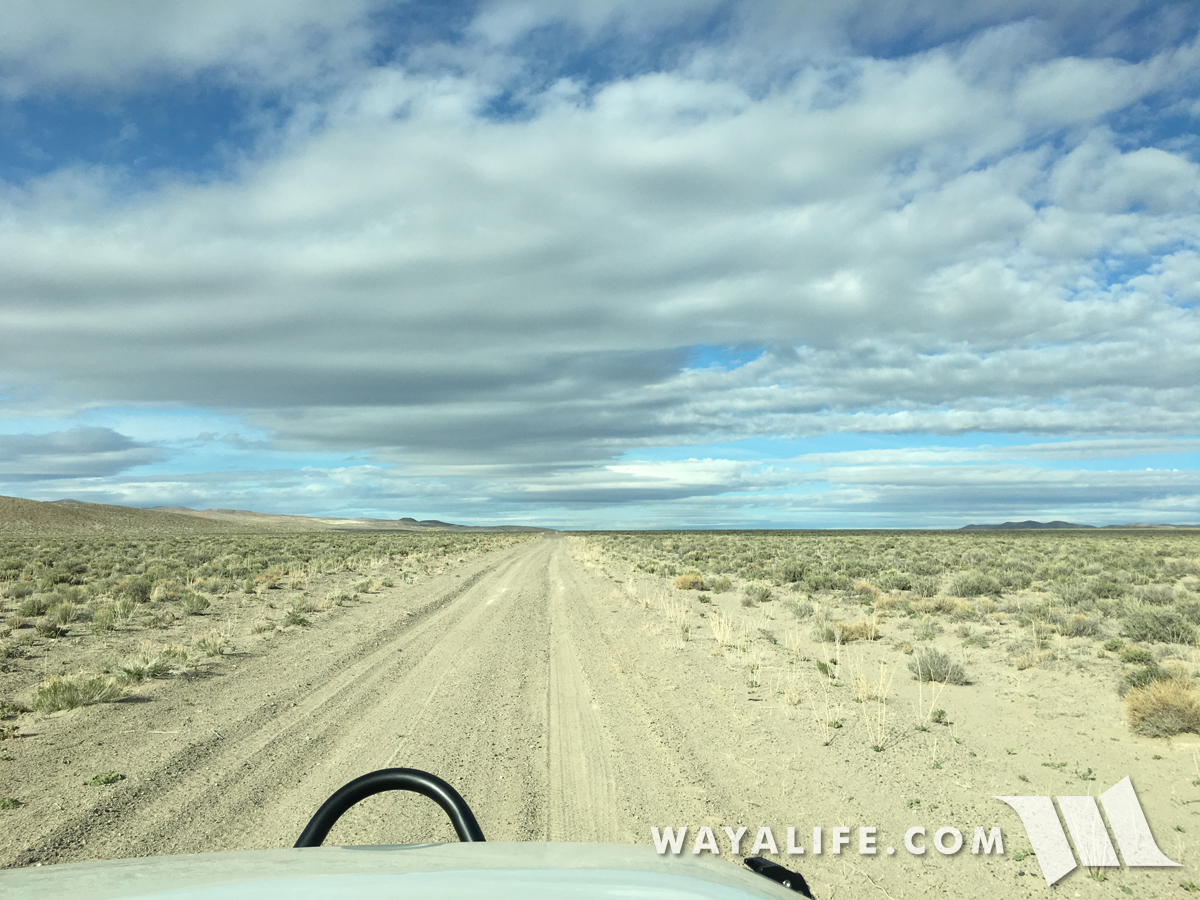
Out in the open desert.
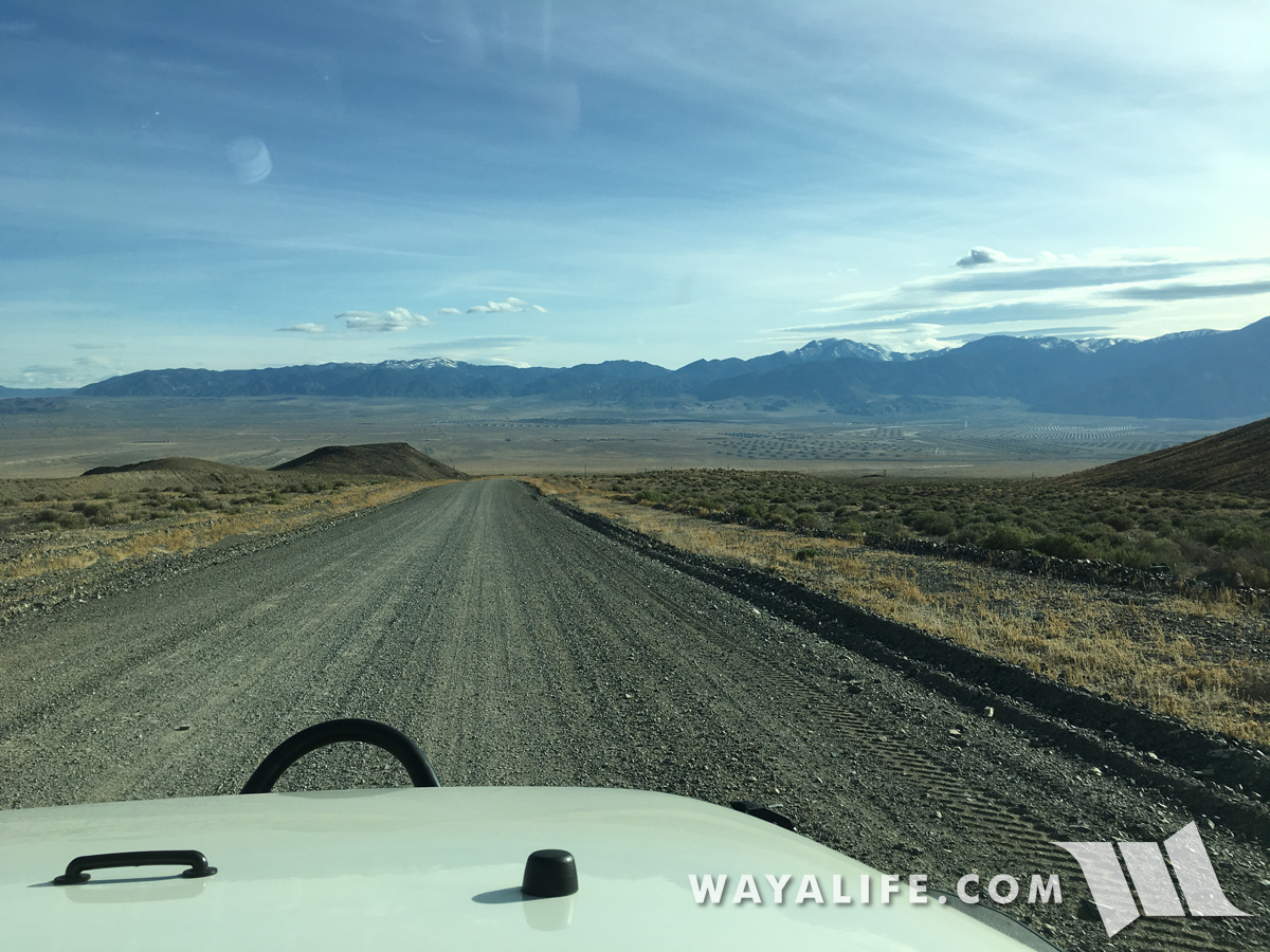
Descending back into the Walker Basin and with a view of the massive Hawthorne Army Depot ahead.
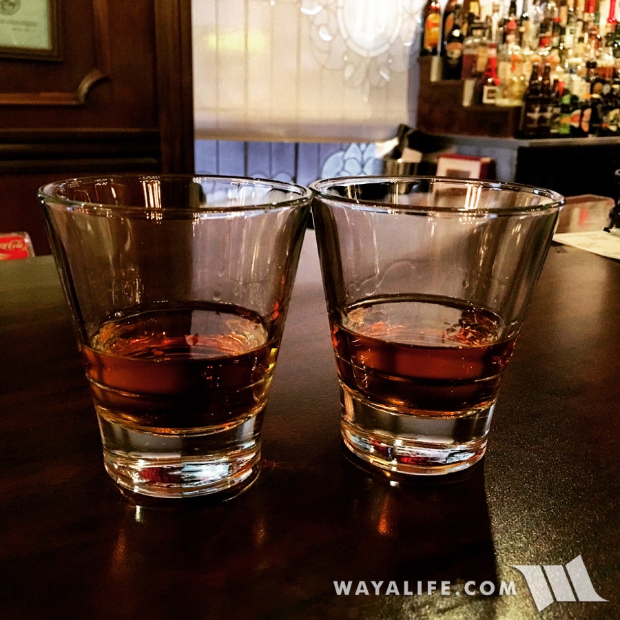
And finally, ending our day with a whisky at one of our favorite hotels - the Mizpah - CHEERS!
I hope you enjoyed following our adventures around Walker Lake

Being a last minute thing, we loaded up Moby with the basics and got ready to head out.
Making a stop along the Pony Express overland route on our way down.
Here at Walker Lake and parked long the western shores of Sportsman's Beach looking south.
Over 12,000 years ago, there was an enormous body of water that covered most of northwestern Nevada and it was known as, Lake Lahontan. With a surface area of over 8,500 square miles, it was at the time, one of the largest lakes in North America. Today, Walker Lake stands as one of two bodies of water that are remnants of this ancient lake.
With no outlet and fed only by the Walker River, Walker Lake is known as a desert terminal lake. While it has survived for thousands of years, the level of the lake has dropped over 180 feet since 1882 when water up the river was diverted for irrigation. Today, Walker lake only measures about 11 miles long and only 5 miles wide as it has lost over 80% of its volume.
Heading south on Highway 95 to our next stop along our journey.
Here we are parked well below the boat ramps at Monument Beach.
Looking up toward the futile attempts to extended ramps and the monument placed between them.
After gassing up in Hawthorne and having some lunch, we made our way around to the east side of the lake.
Running on top of wind swept dunes, the trail to the delta gets faint from here.
Out in the middle of nowhere but getting close to the delta of the Walker River.
The first slough we encountered was relatively dry but you could tell that fast moving water moved through it recently and crossing it our Jeep would be hazardous.
Looking back at Moby as we carefully making our way to the main channel on foot.
This finger of the delta flows into the ground.
Here we are at last - the main channel of the Walker River!
Amazingly, it's a LOT bigger and wider and flowing a lot faster than we had imagined!
Shot of the river emptying into Walker Lake.
Along the banks of the river, you can see how much higher and turbulent the waters had been recently.
Walking along the river and out to the lake.
Looking across the Walker River and out toward the Wassuk Range.
This is a view looking southeast toward the Agai Pah Hills.
A lot of birds were present here at the delta including Western Gulls and Snowy Egrets.
After spending a better part of our day along the banks of the Walker River delta, we started to make our way back to the main trail and stopped at a small dune, what was probably a nice sandy beach just 40 years ago and to take in the view.
Back up along a set of seldom but still in use tracks leading into the Hawthorne Army Depot, the "worlds largest" ammunition depot.
Instead of heading back the way we came, Cindy and I decided to take a "long cut" back to pavement.
Out in the open desert.
Descending back into the Walker Basin and with a view of the massive Hawthorne Army Depot ahead.
And finally, ending our day with a whisky at one of our favorite hotels - the Mizpah - CHEERS!
I hope you enjoyed following our adventures around Walker Lake
Last edited by a moderator: