THE ROAD LESS TRAVELED - Part 2 : Adventures on the Pony Express Trail

wayoflife

Administrator
Staff member
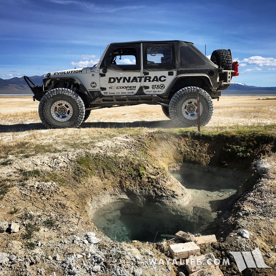
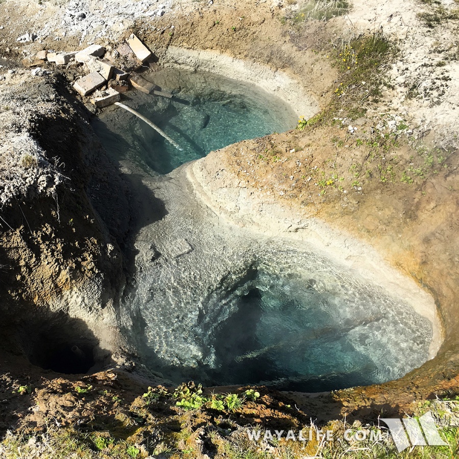
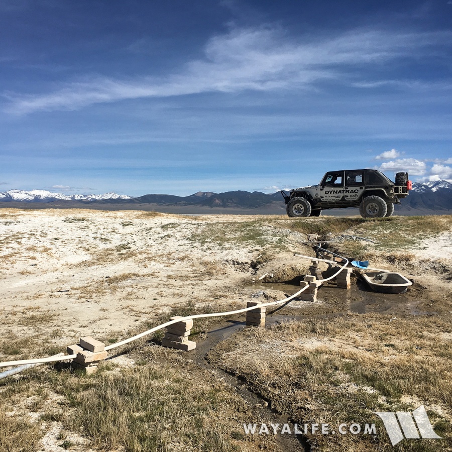
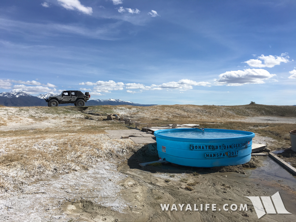
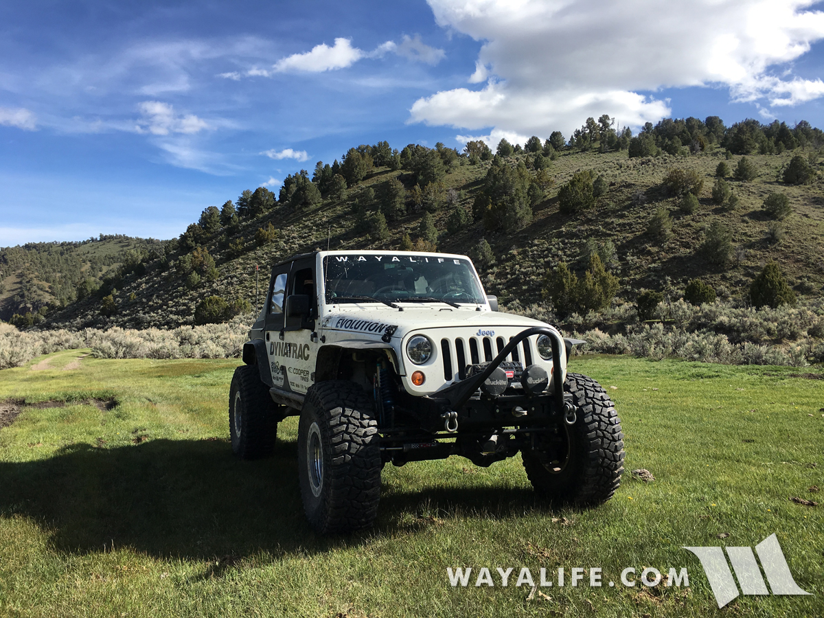
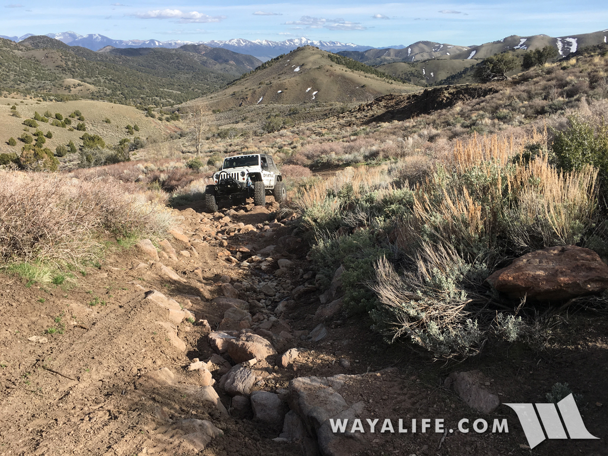
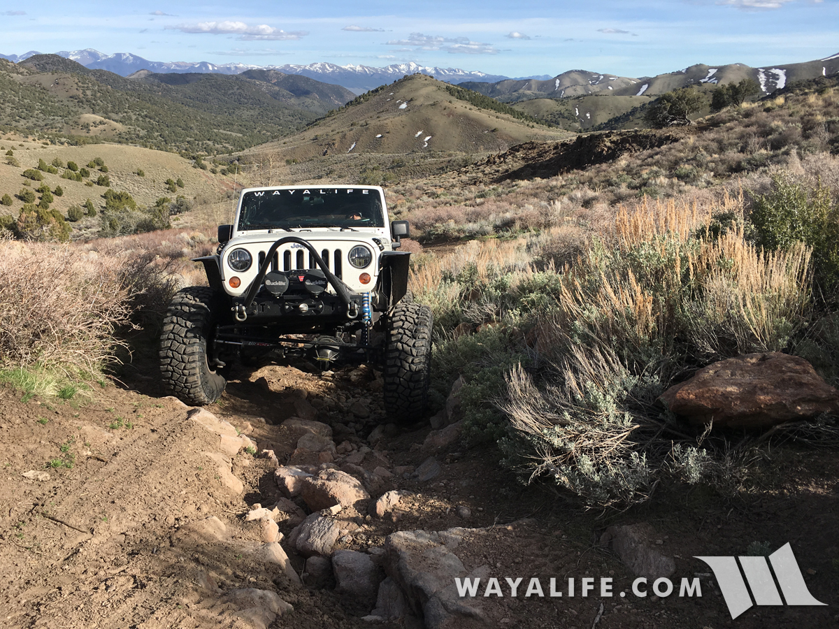
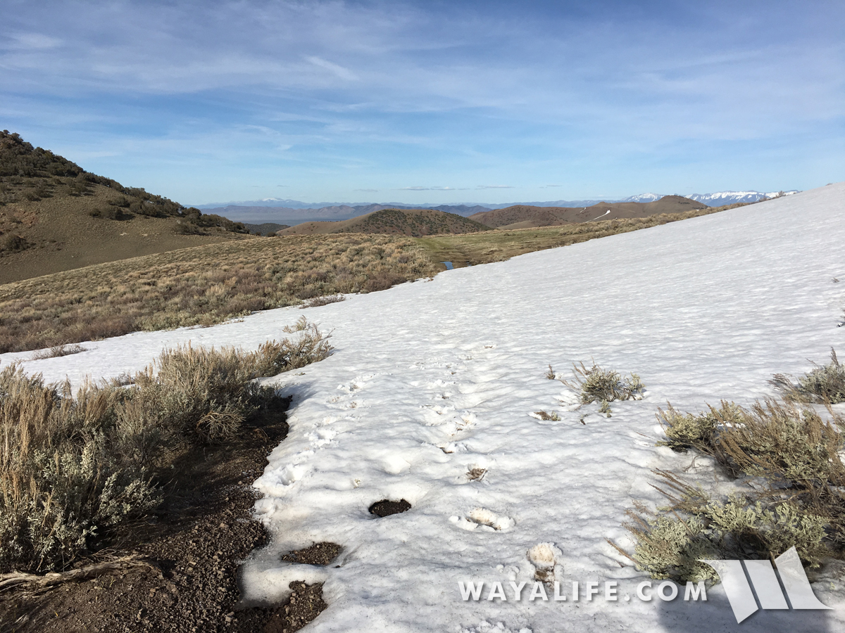
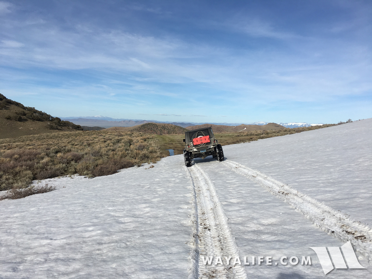
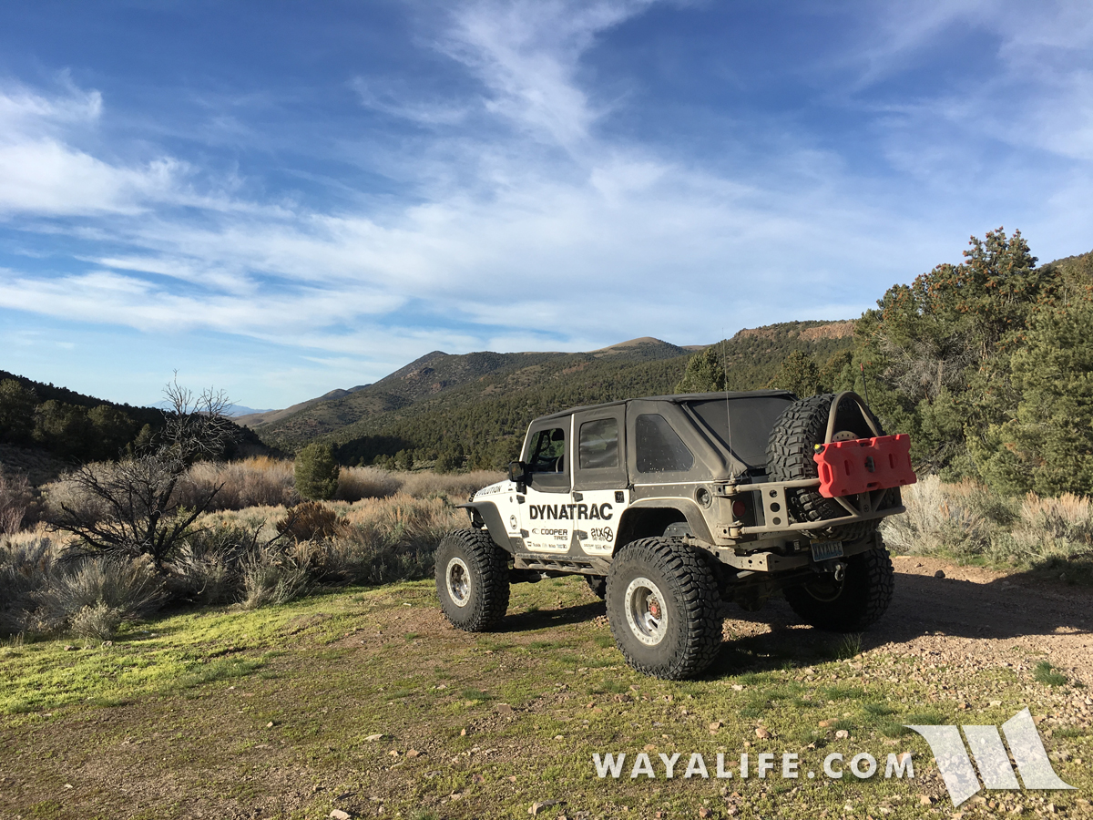
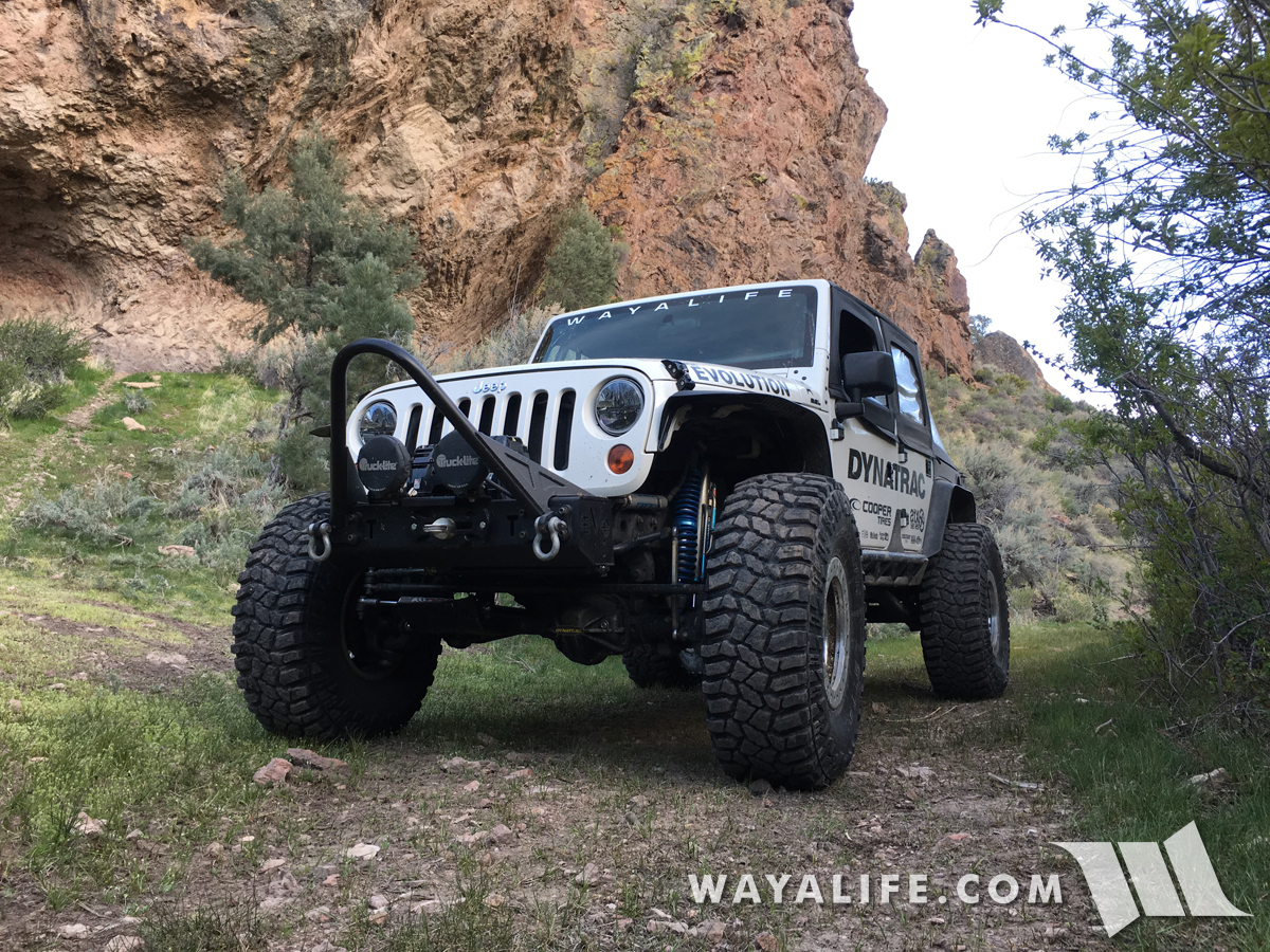
With the weather starting to warm up a bit and the snow drifts finally starting to recede, Cindy and I have been trying to get out and explore more of the old historic overland routes that you can still traverse here in Nevada. We started this adventure up in the Toiyabe Range to scope out the back side of a route we weren't able to cross on our last trip, checked out some campgrounds for a future run and then made our way west along the old Pony Express Trail. Here are a few photos from the fun we had, I hope you enjoy.

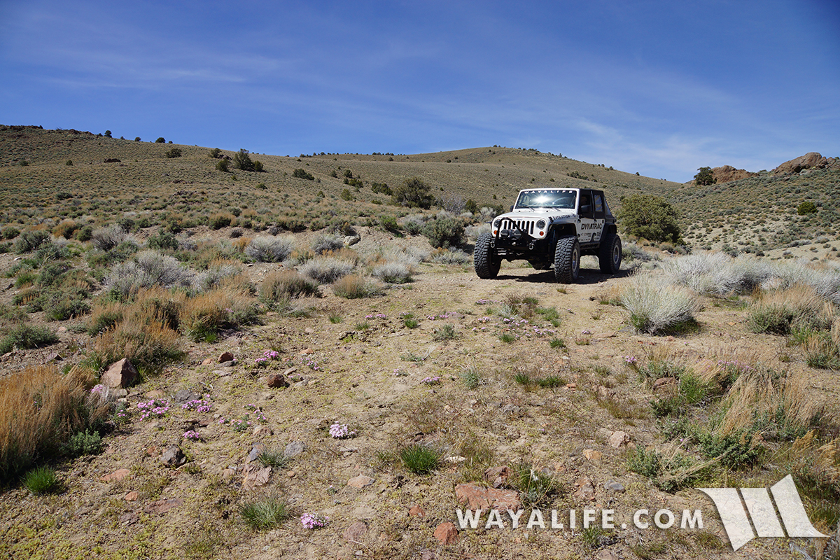
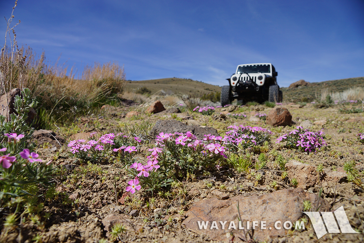
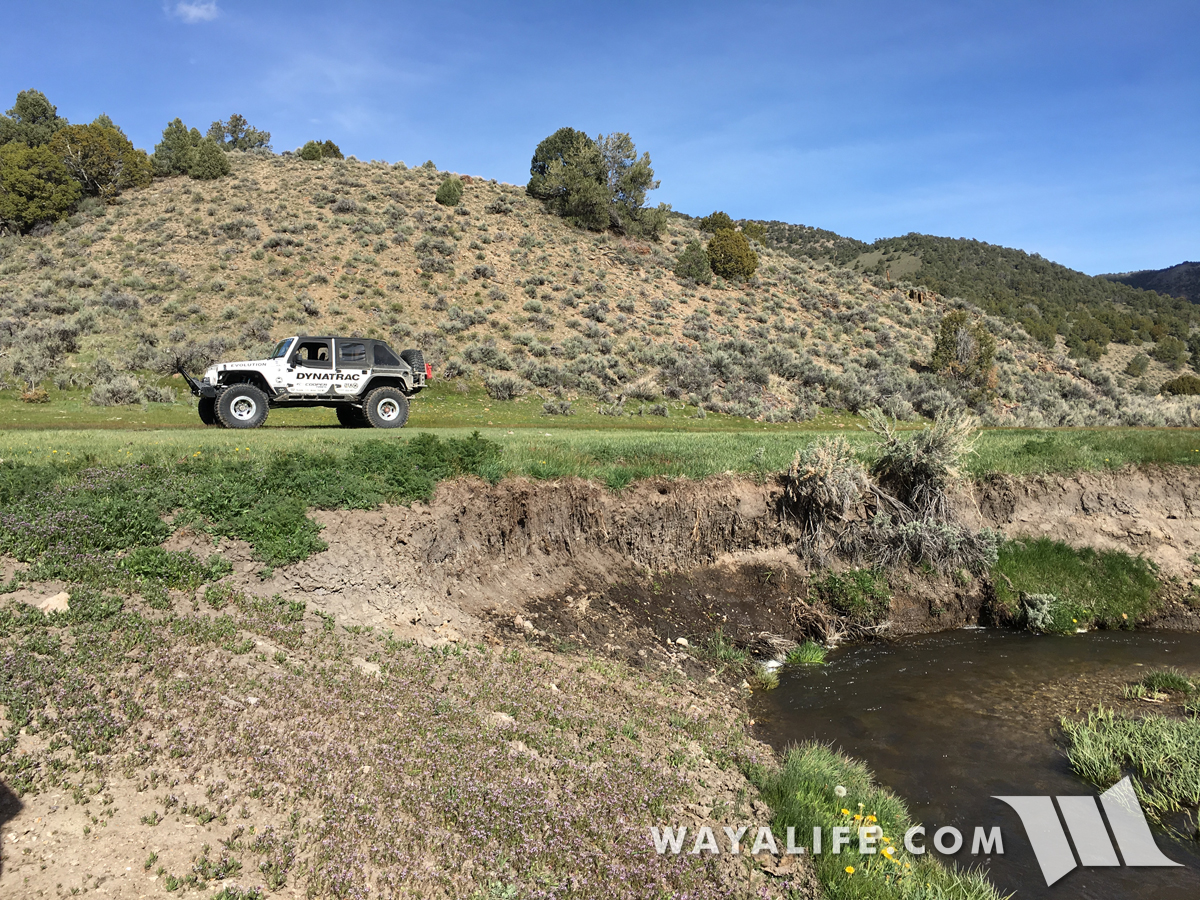
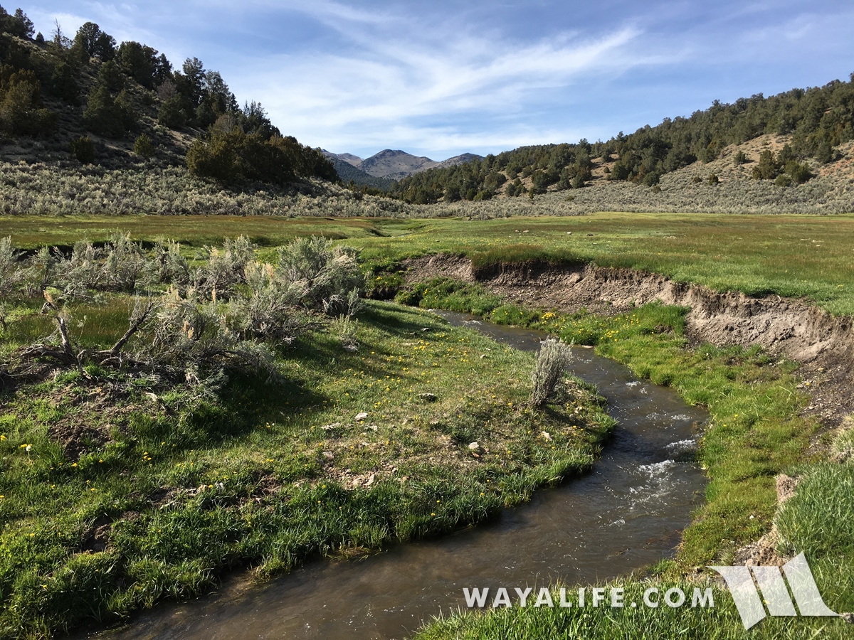
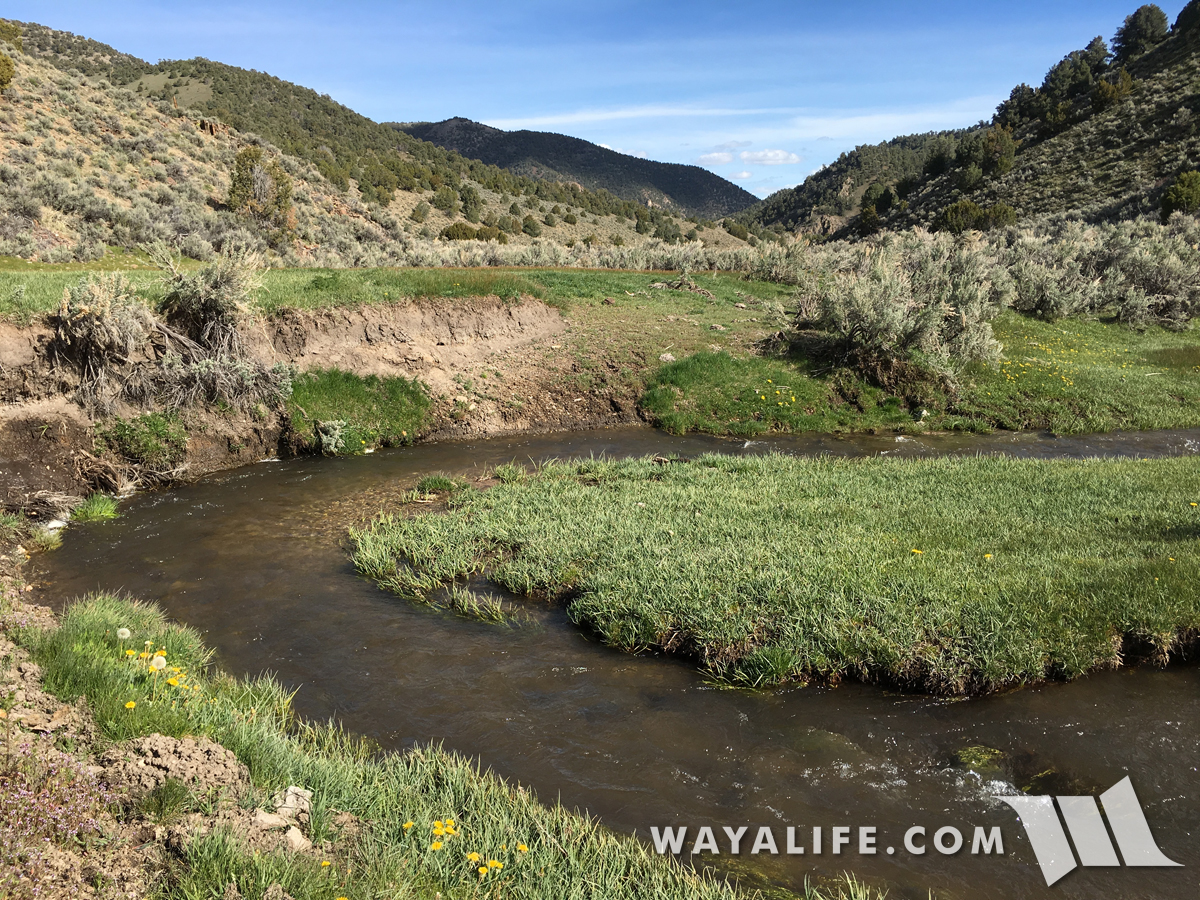
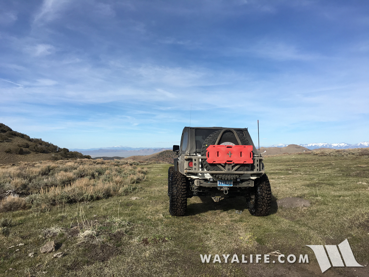
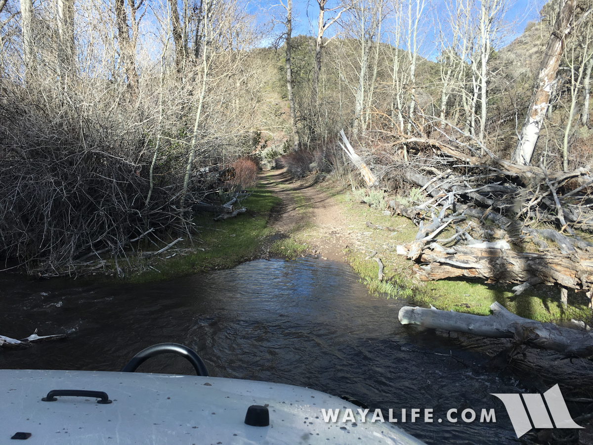
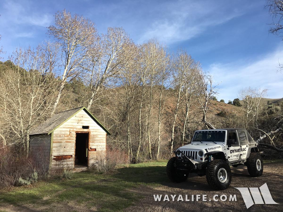
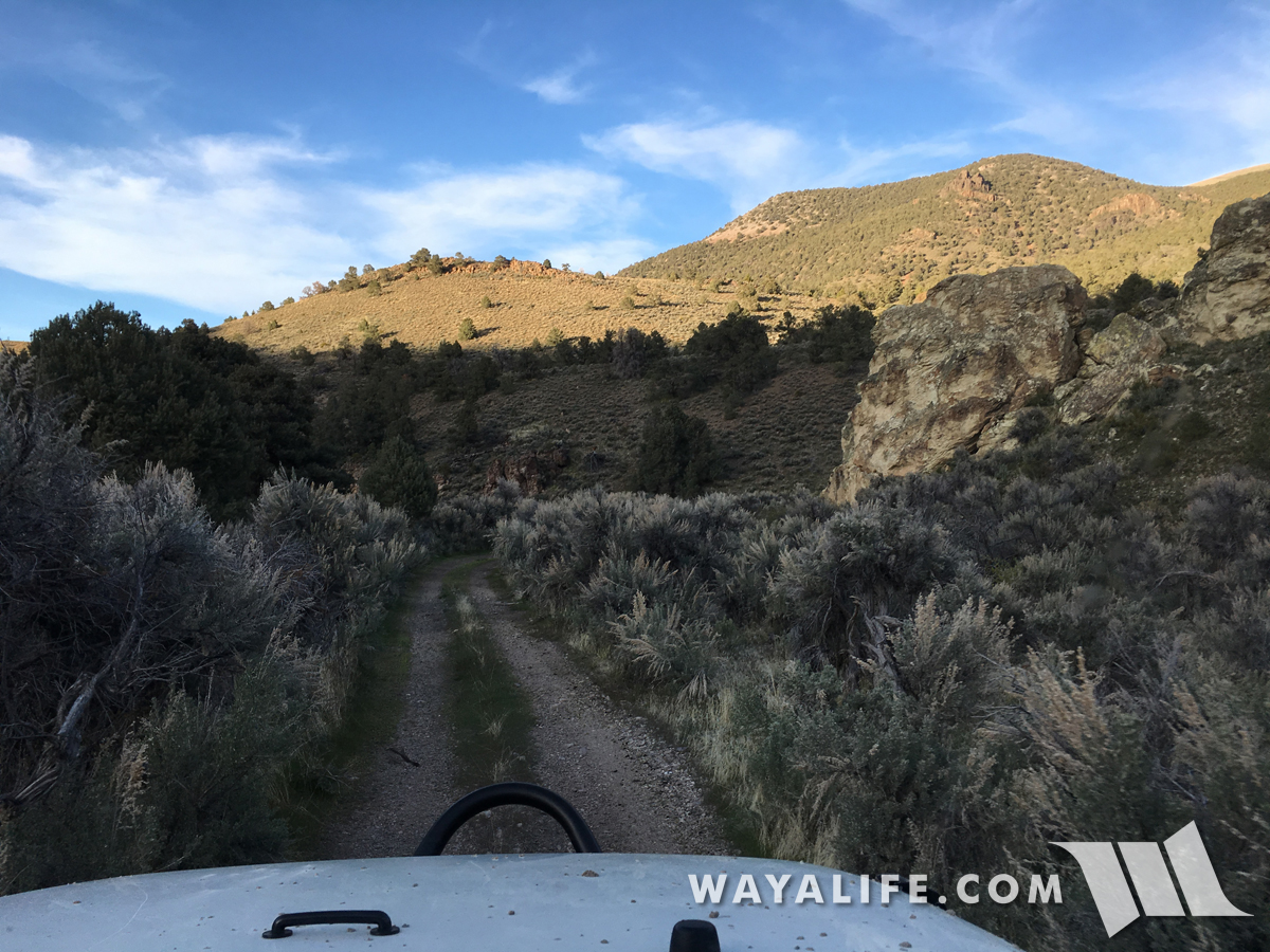
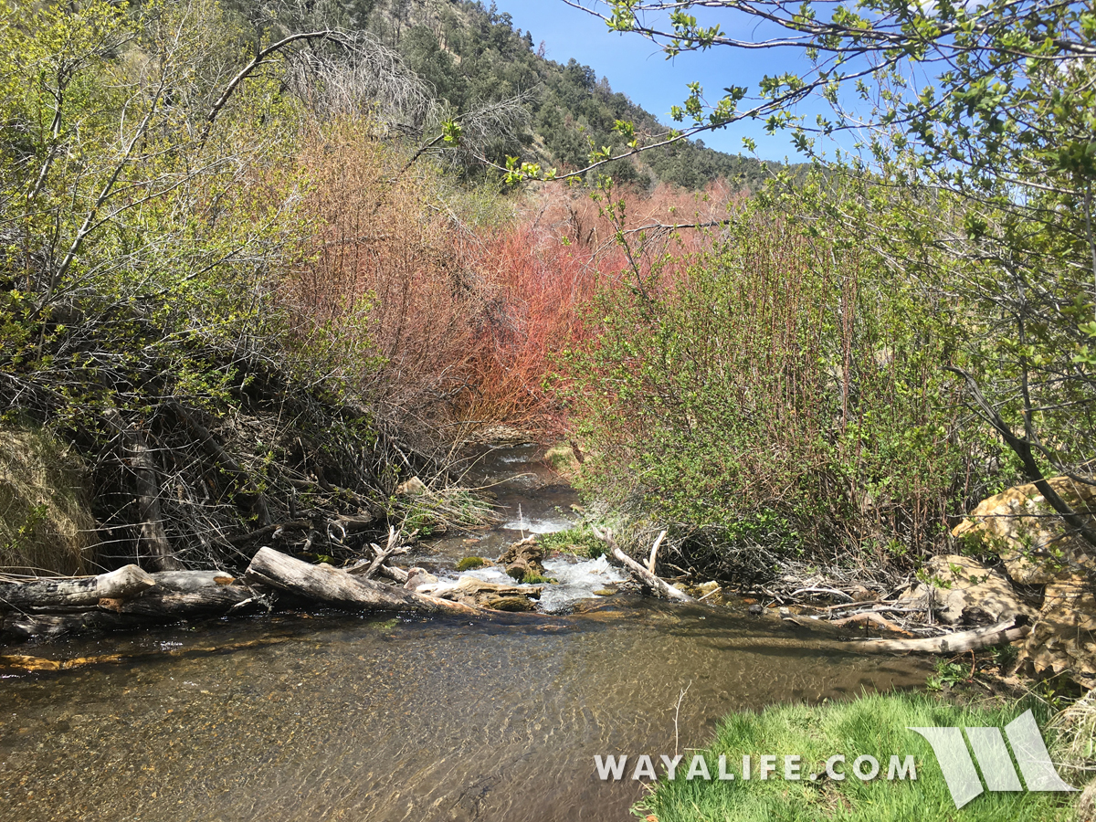
Starting off our day up in the Toiyabe Range checking out a campground and potential future party spot.
20170505130309-61dd58b7.jpg


20170505130315-471b9f9a.jpg


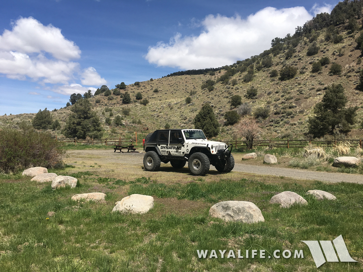
Plenty of room for a nice group.
20170505130300-dd2e0145.jpg


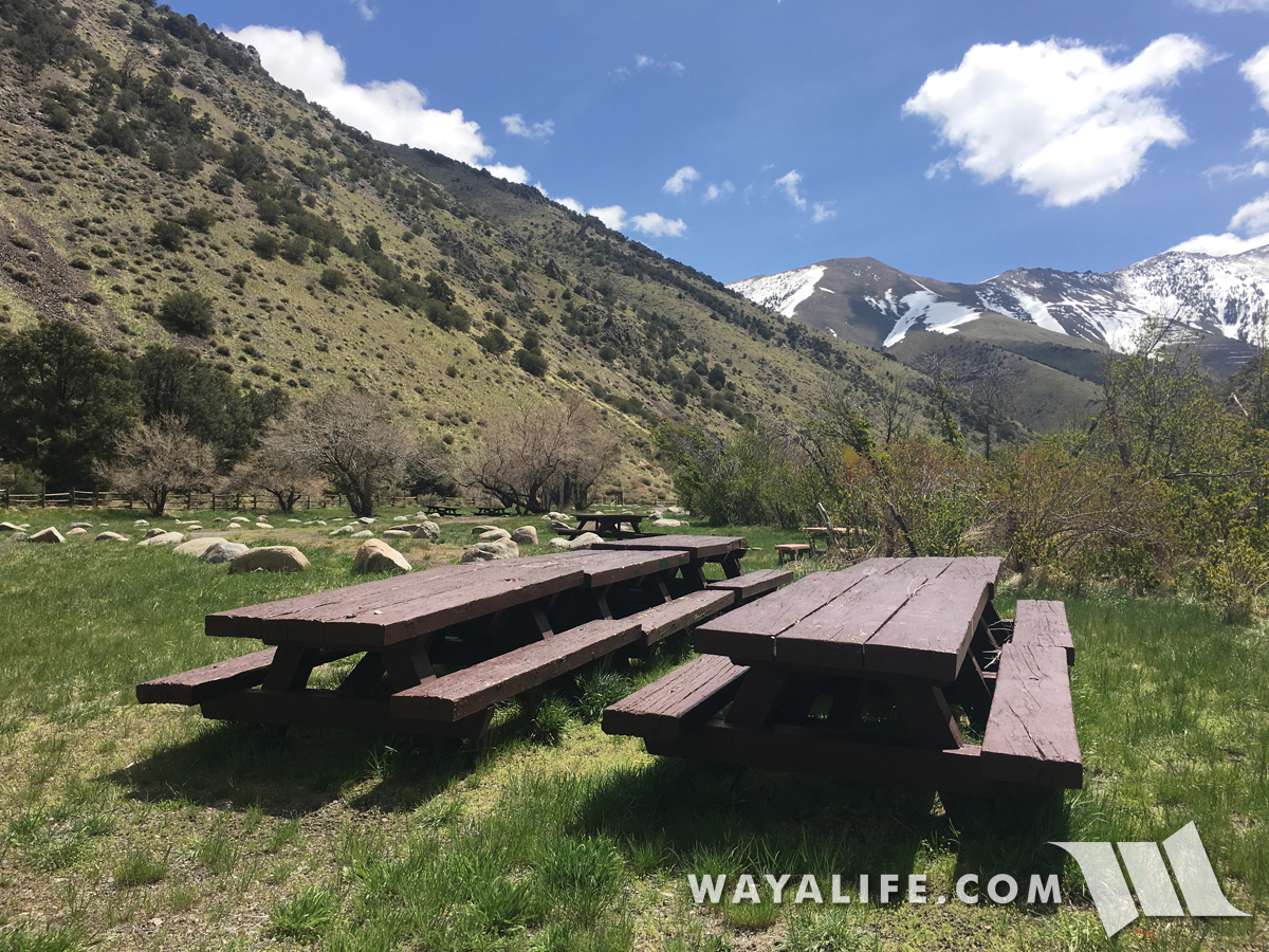
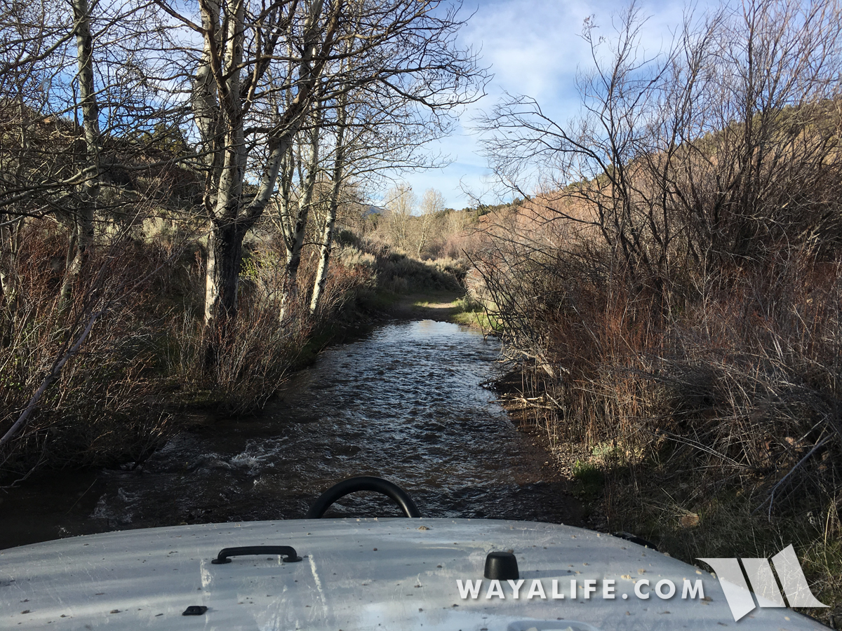
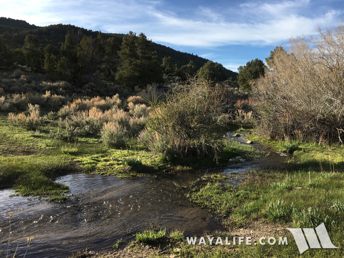
A nice flowing creek nearby is always a bonus.
20170505130247-f41a3364.jpg


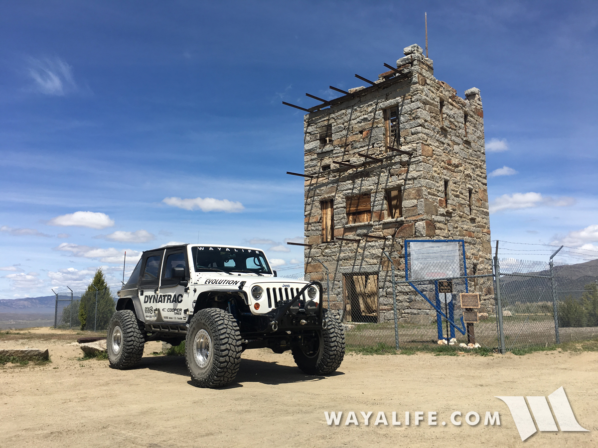
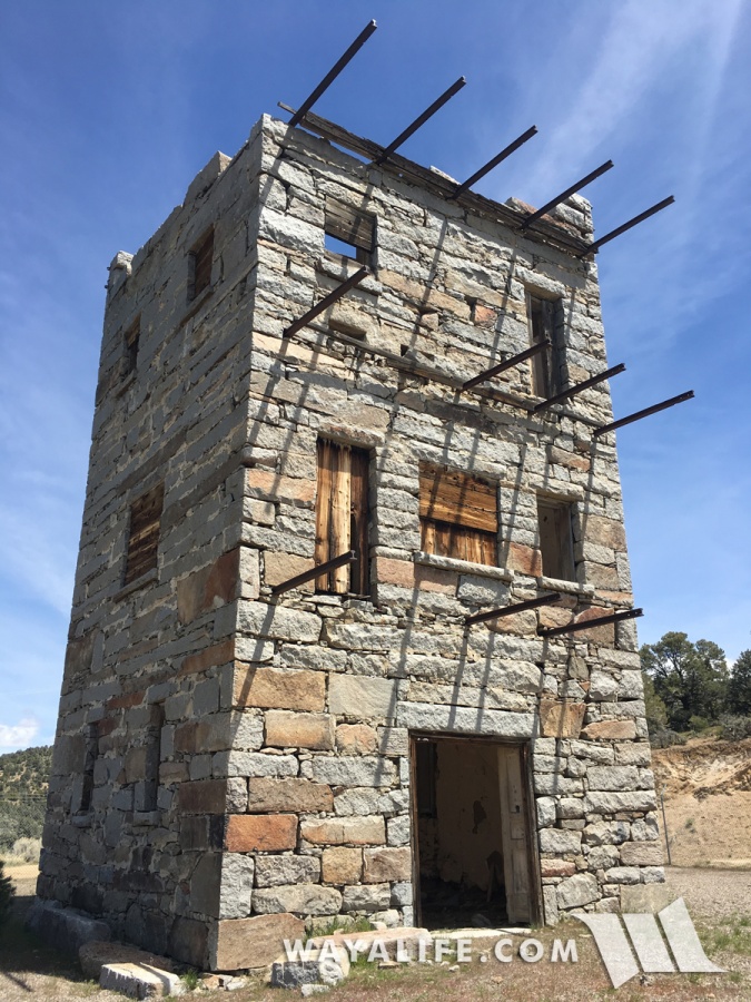
Before making our way west, we stopped in Austin to top off our tank and to check out the historic Stokes Castle which was built back in 1897 and used briefly as a summer home by J.G and Anson Stokes.
20170505130325-ac720a5e.jpg


20170505130340-d2a904f3-me.jpg


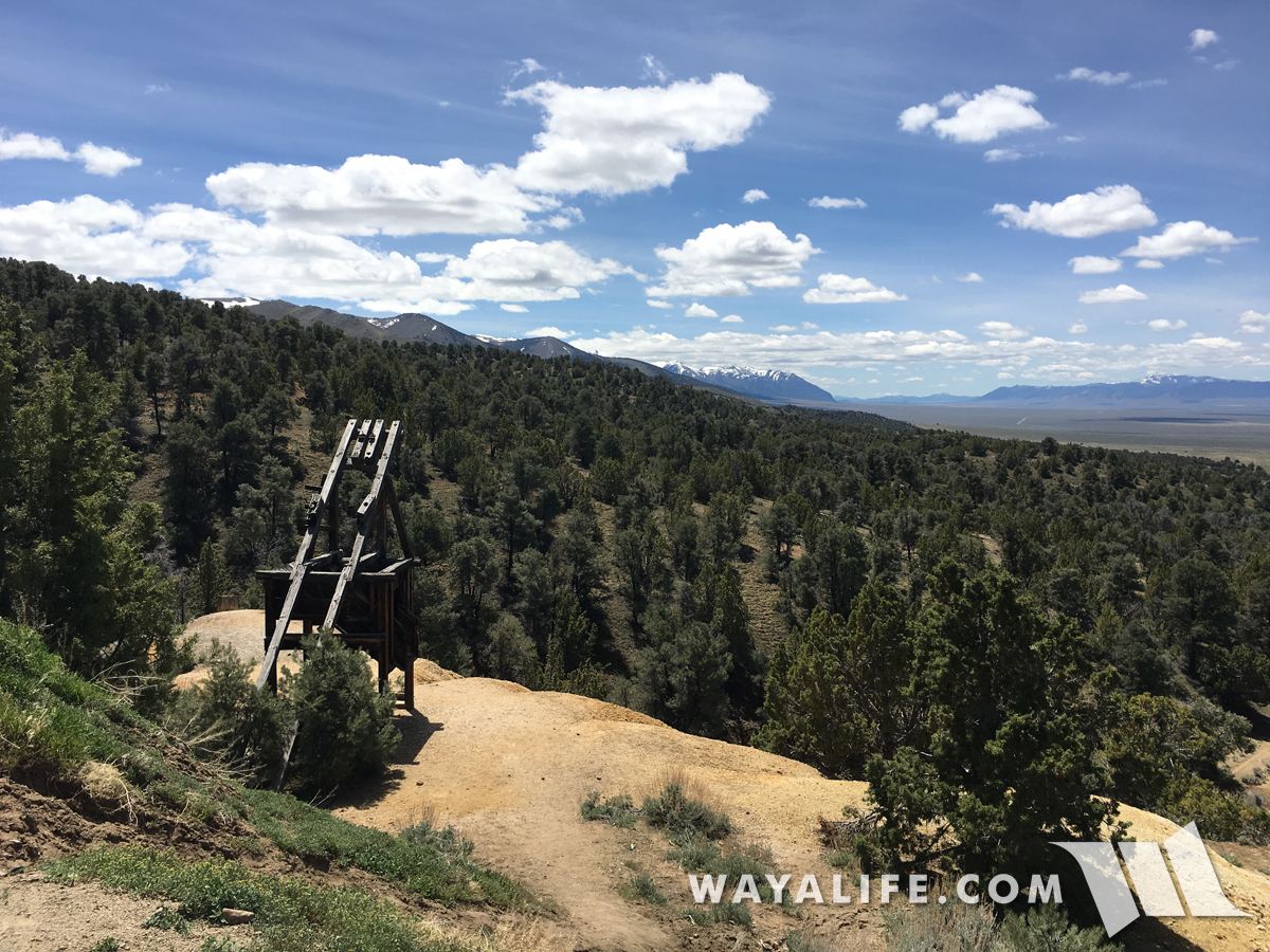
View from the castle looking to the south.
20170505130332-ddb28a4b.jpg


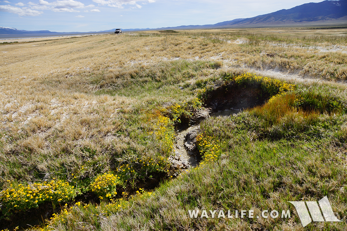
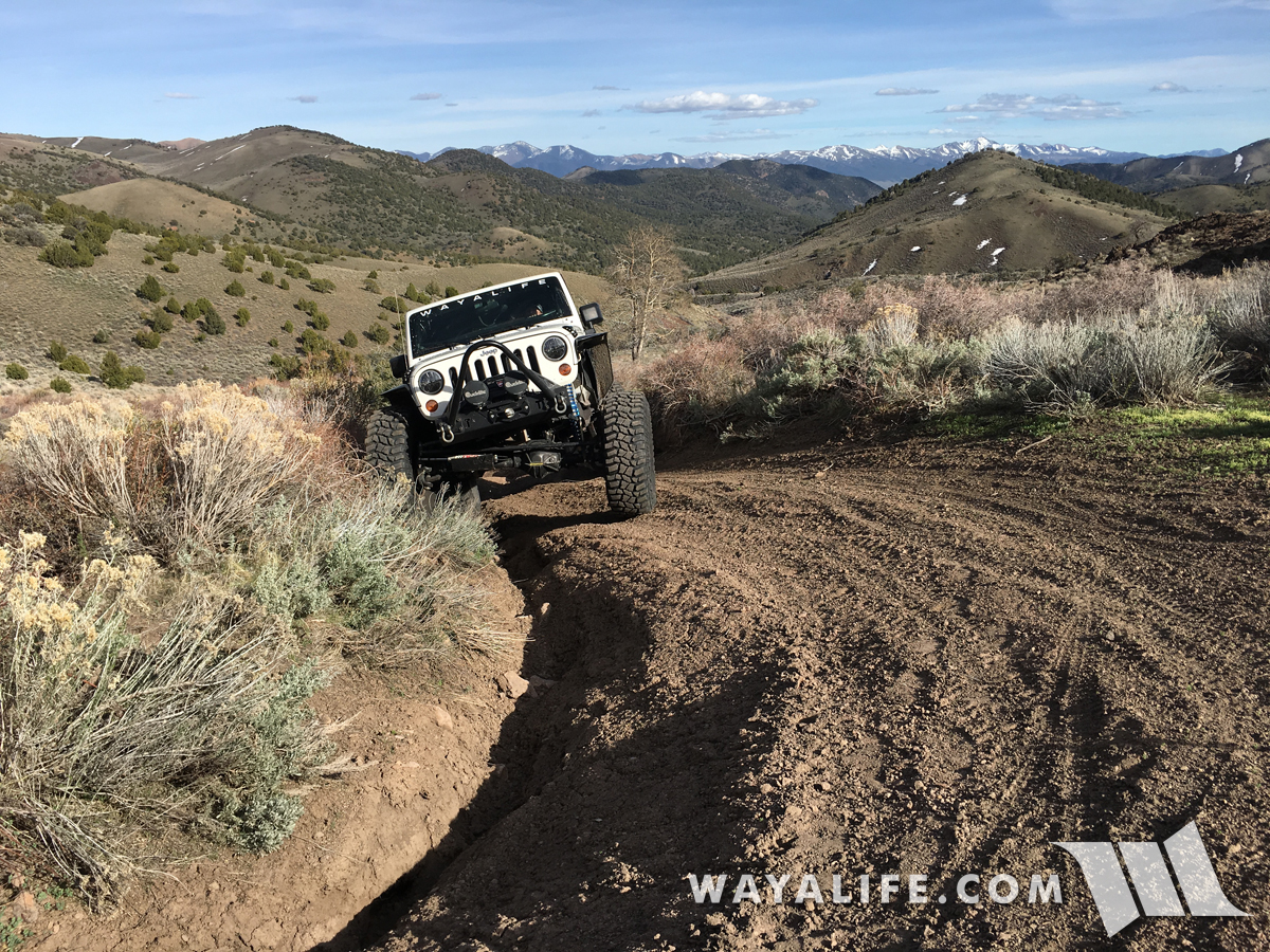
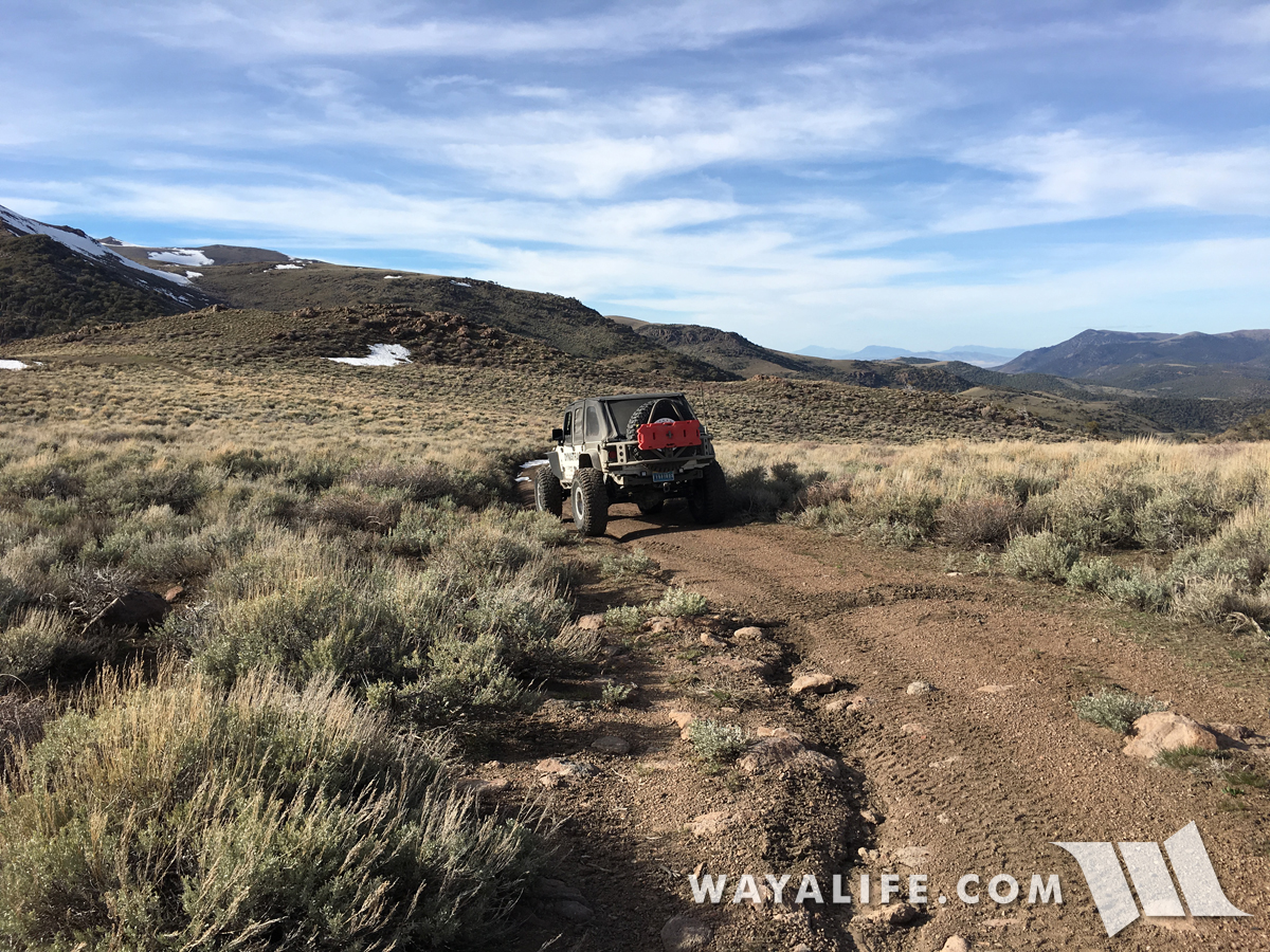
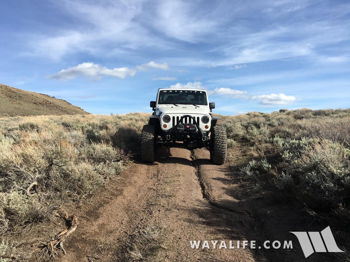
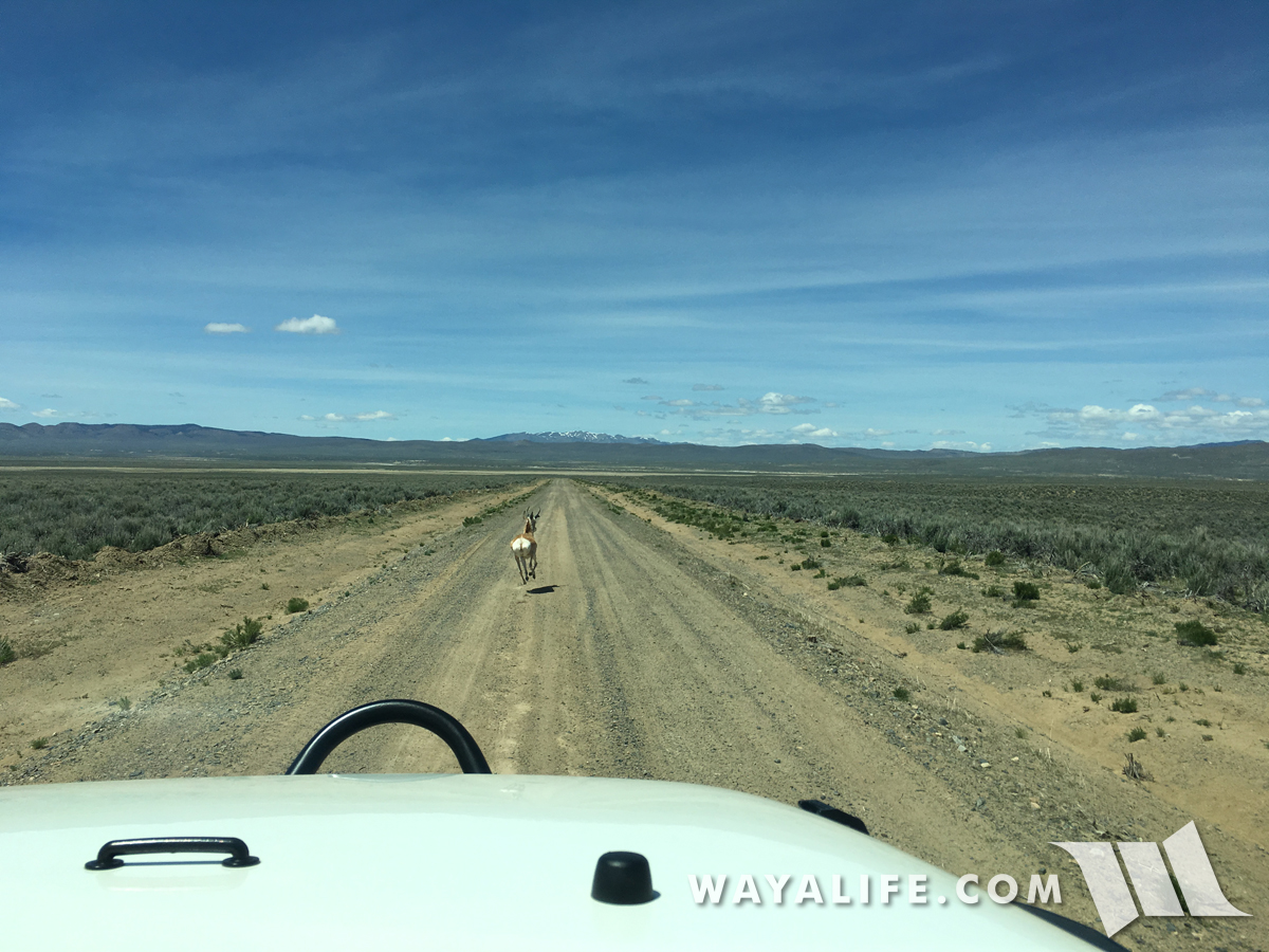
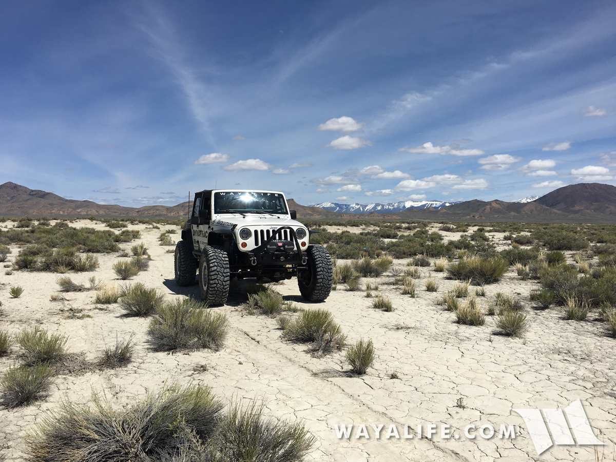
On the move again, we made our way down what we like to call, a "Nevada Superhighway" which is really just a long dirt road that goes on for miles and miles but is often times way smoother and faster to drive on than a lot of paved highways we've driven on all across America. However, on this particular morning, we did run into a bit of traffic.
20170505130352-80f65013.jpg


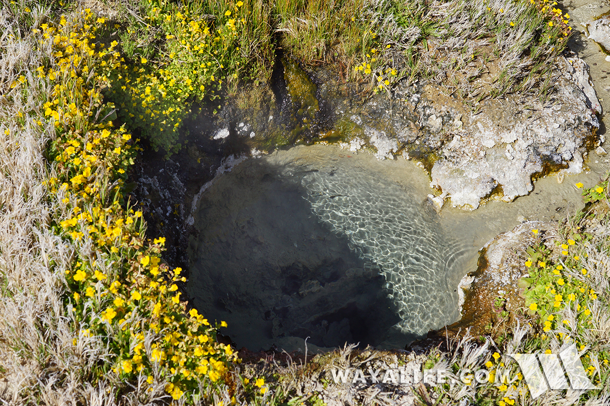
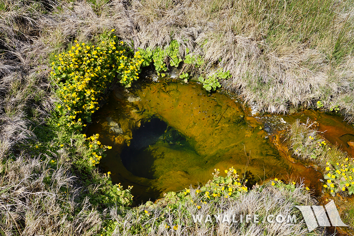
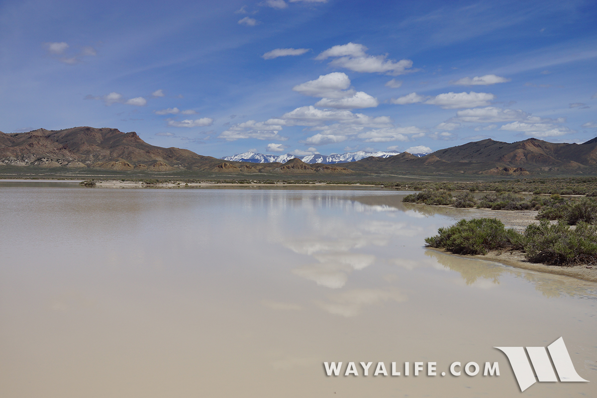
Well, this would have been our route. Thanks to the crazy winter we had this year, many of the dry lakes out here actually had water in them. While the water was very shallow, attempting to cross it would have left us in a sticky situation.
20170505130410-051040ea.jpg


20170505130406-90622292.jpg


20170505134523-2dbe3246.jpg


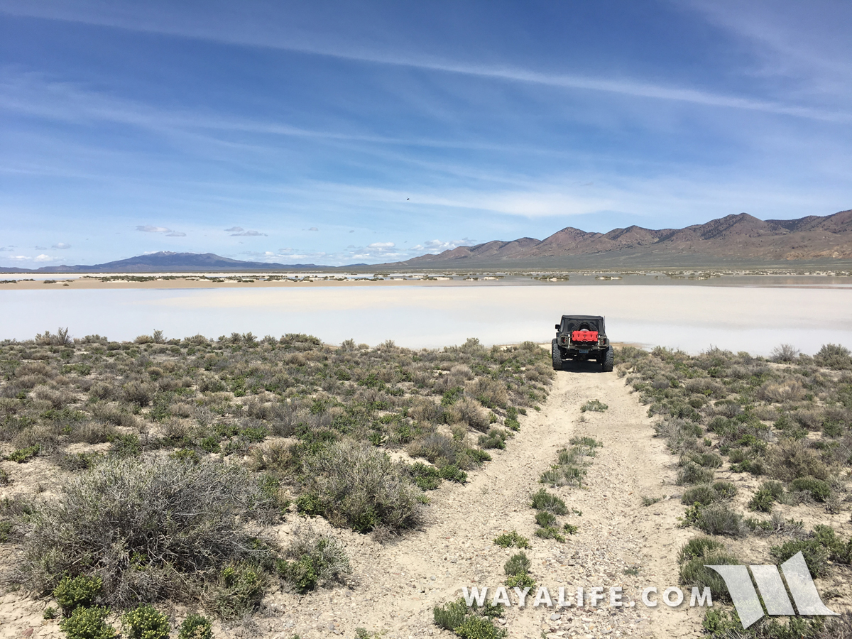
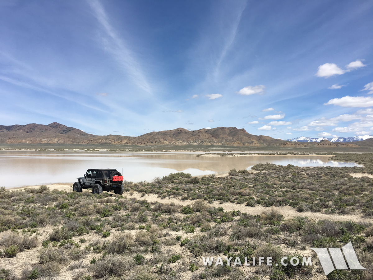
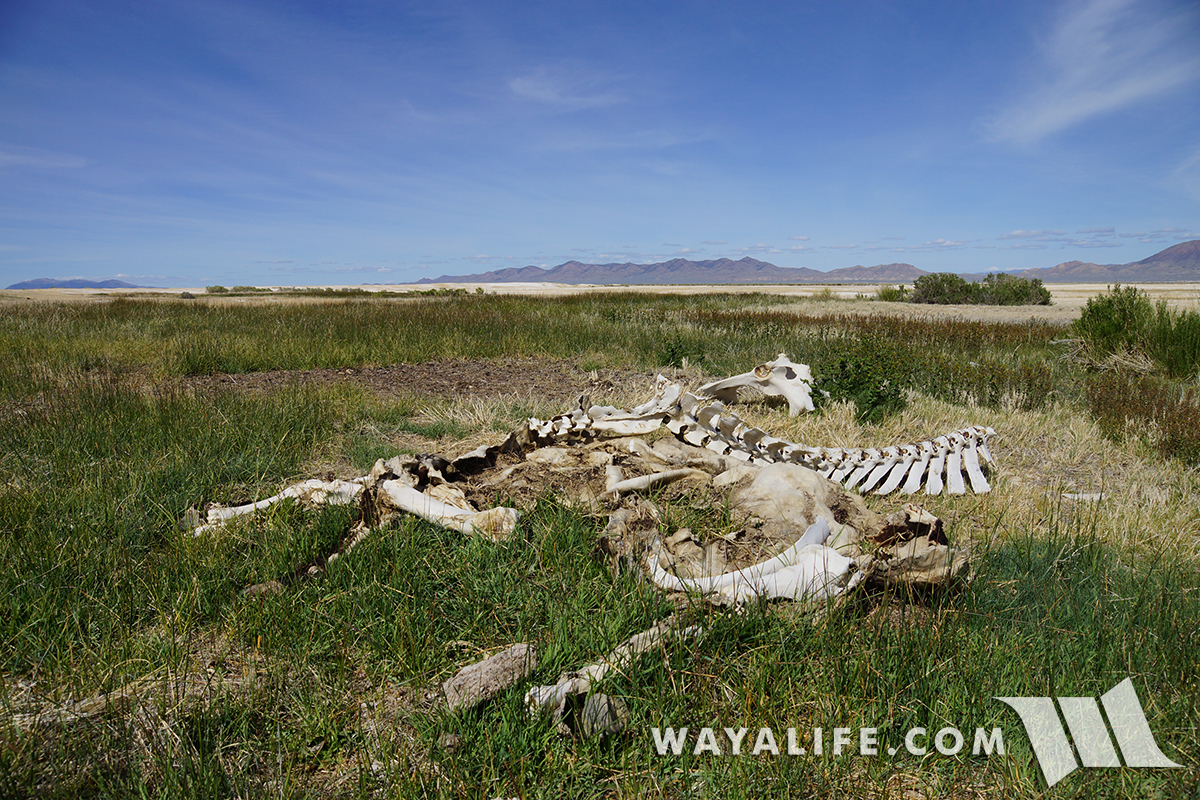
I think we'll just enjoy the view and look for another way around.
20170505134451-2edce577.jpg


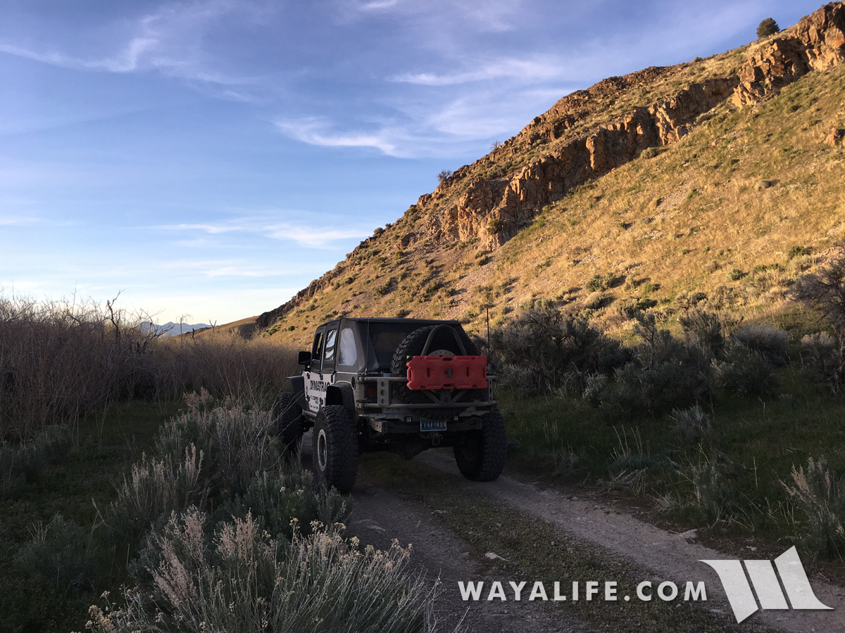
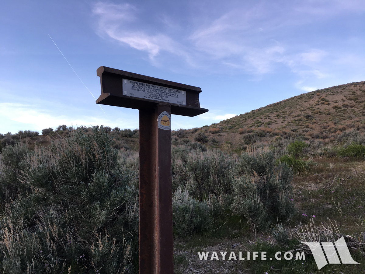
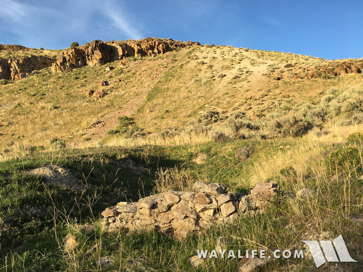
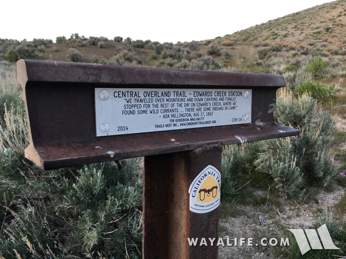
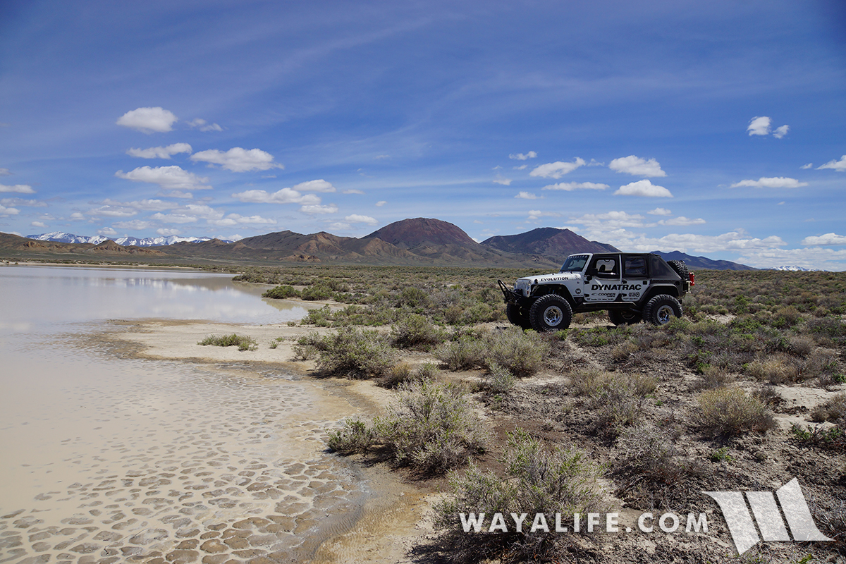
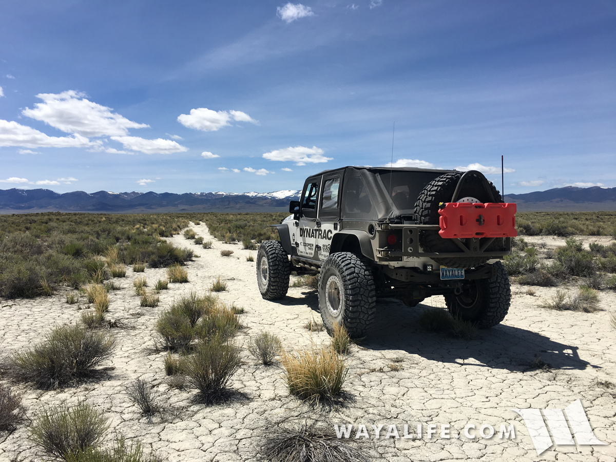
After working our way around the lake, we found ourselves on the historic Central Overland Route also known as, the Pony Express Trail.
20170505130417-a214e4ee.jpg


For just 19 short months during the years of 1860 to 1861, the fastest and most direct means of east to west communication was made possible by kids riding horses at breakneck speeds and on trails like this.
20170505130422-5ad0e1ec.jpg


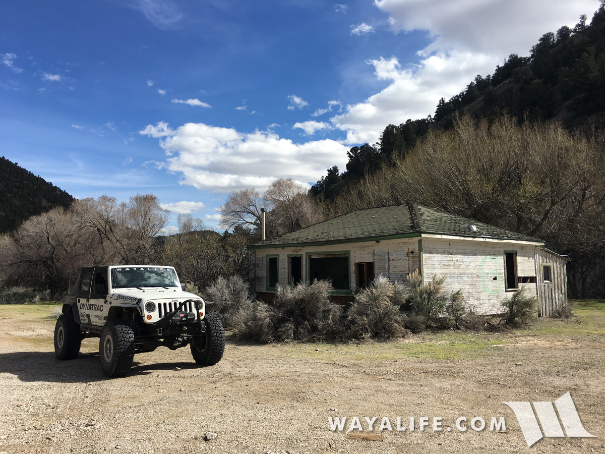
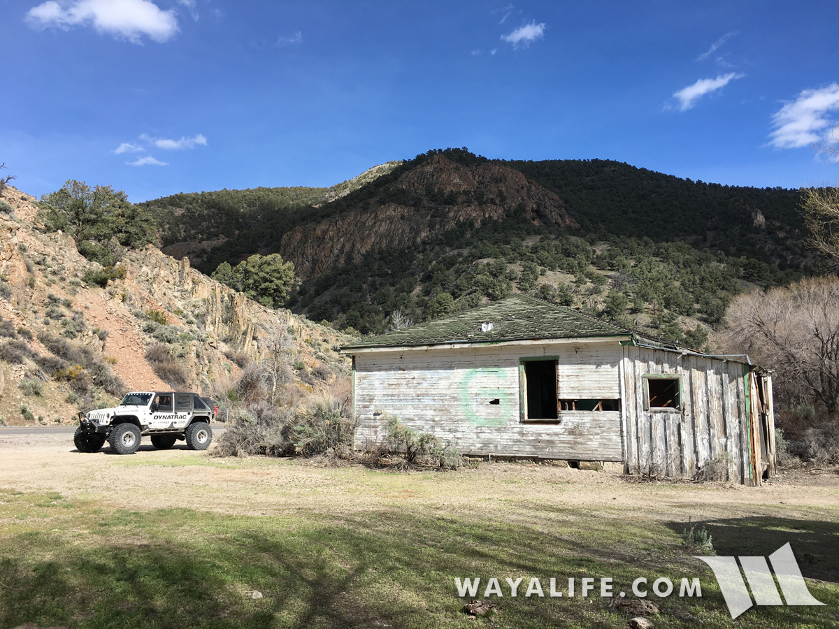
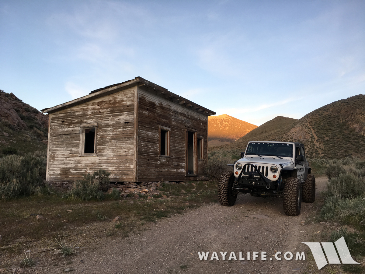
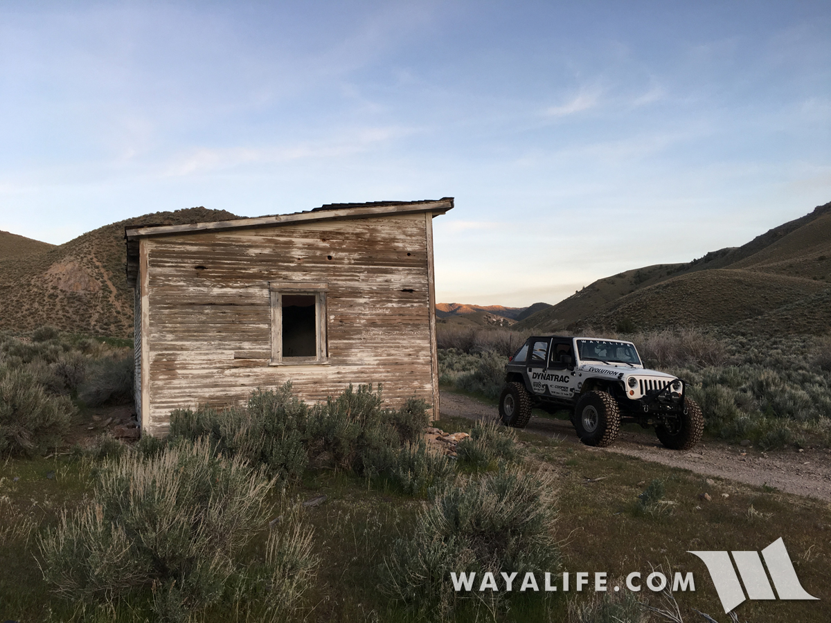
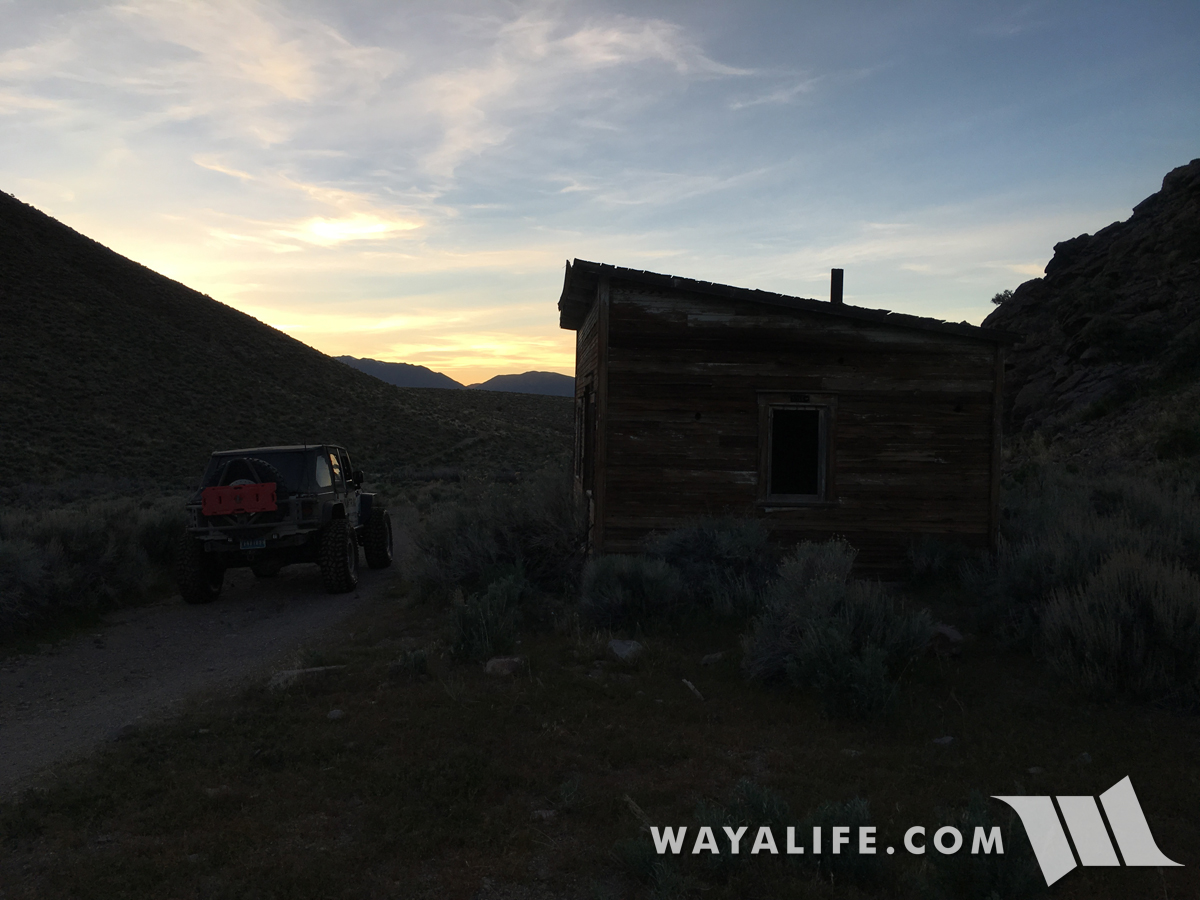
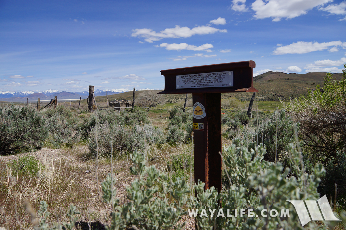
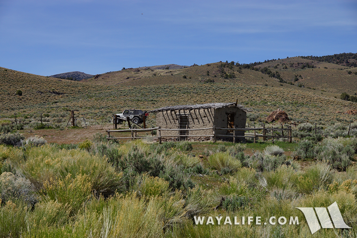
Making a stop over at the historic Smith Creek Station, one of about 157 that were situated about 10 miles apart and all along the 1,900 mile route.
20170505134624-0c87cb02.jpg


Here's T-marker noting the location.
20170505134615-7fdf3ade.jpg


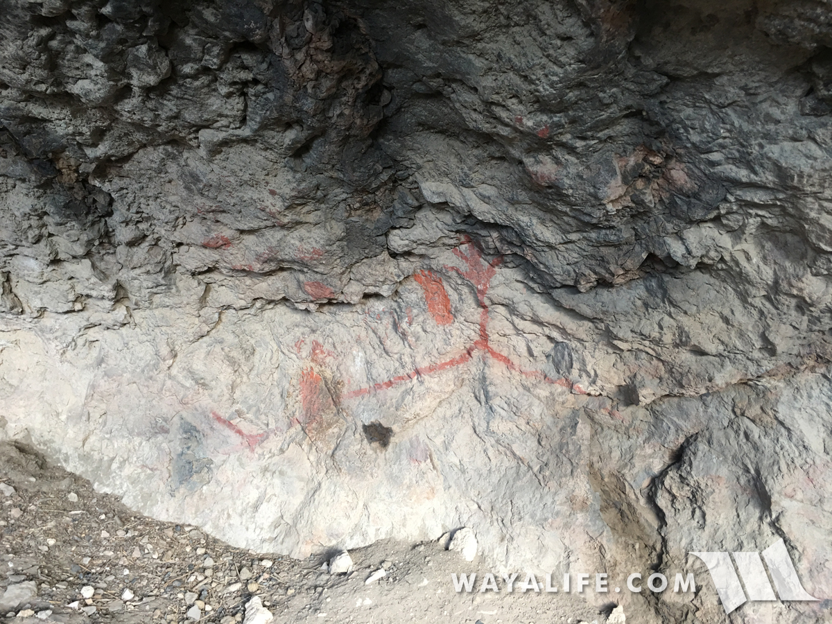
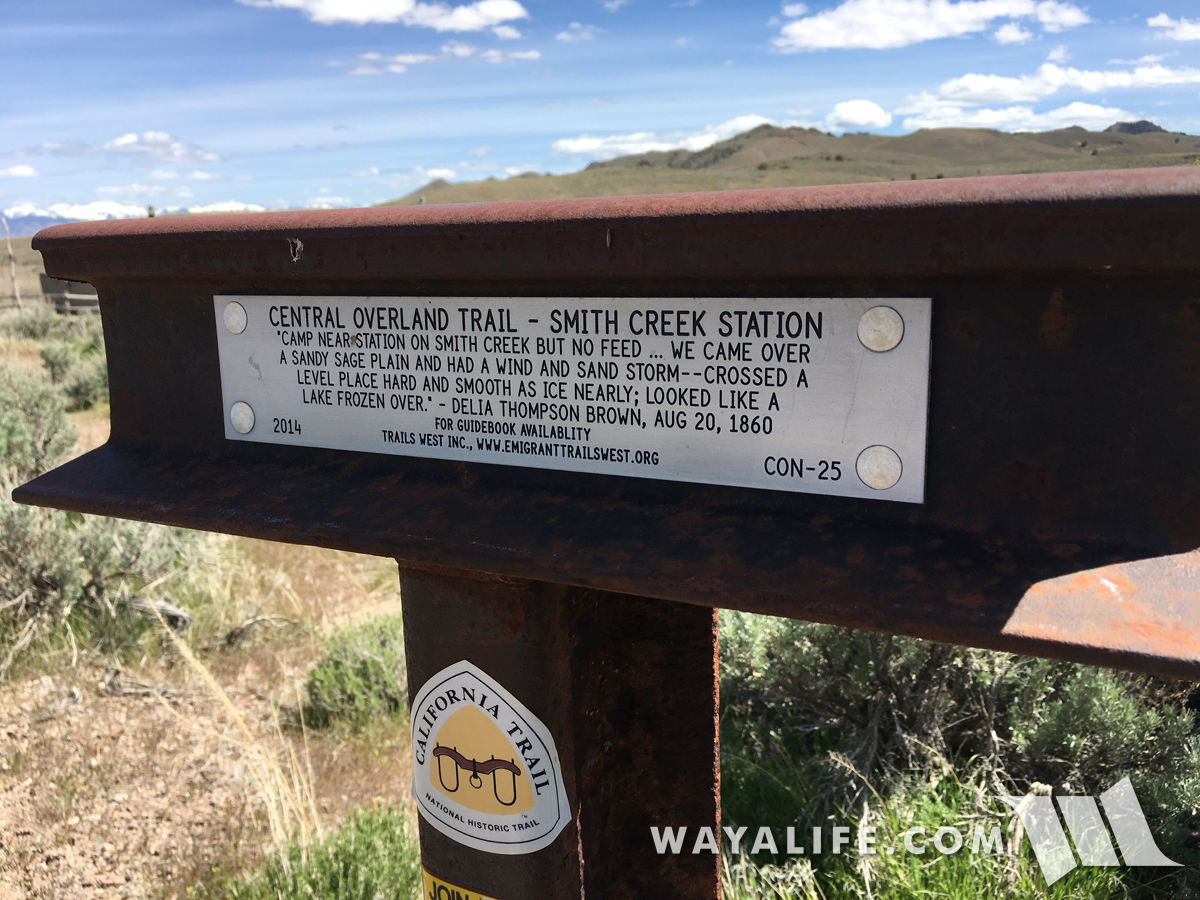
From the diary of Delia Thompson Brown and written on August 20, 1860. A reminder that more than just the Pony Express used this route.
20170505130441-19fb91a3.jpg


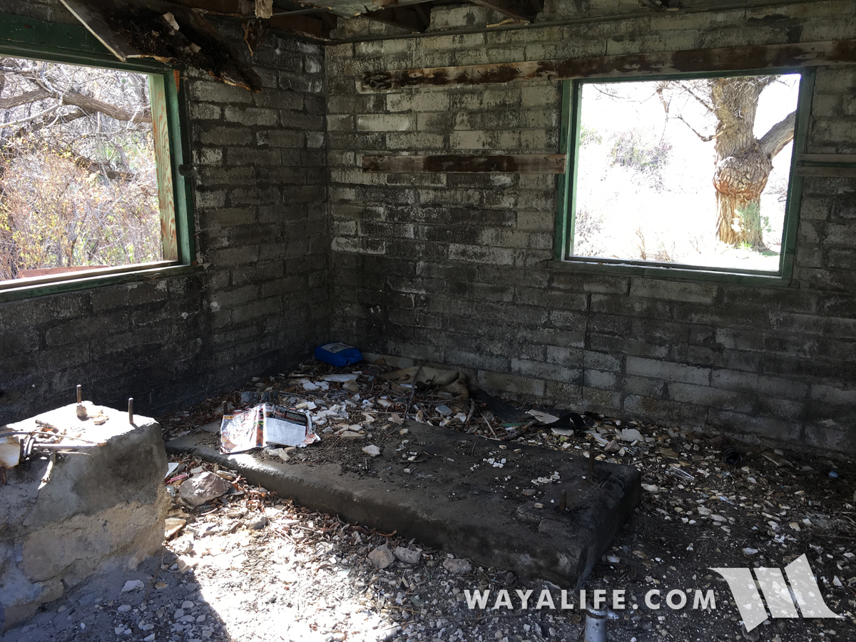
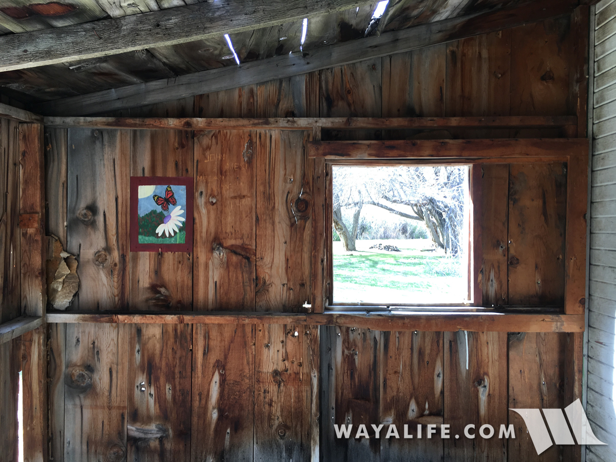
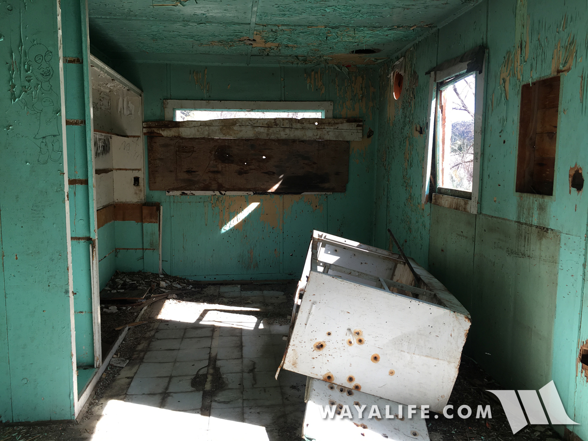
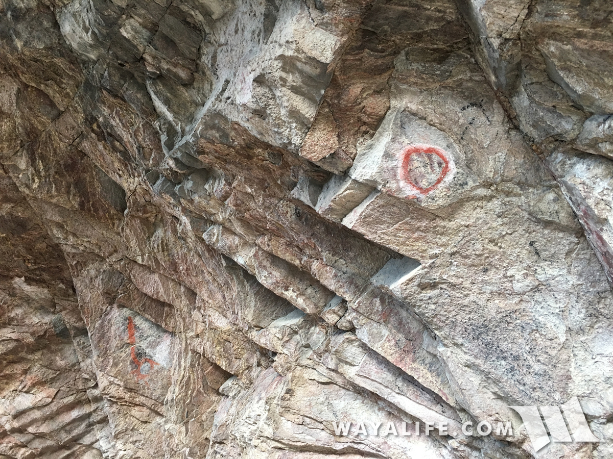
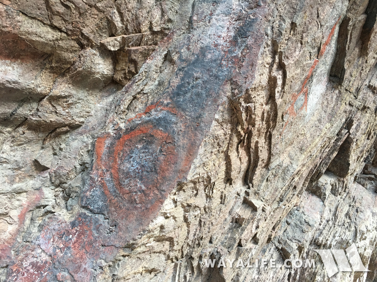
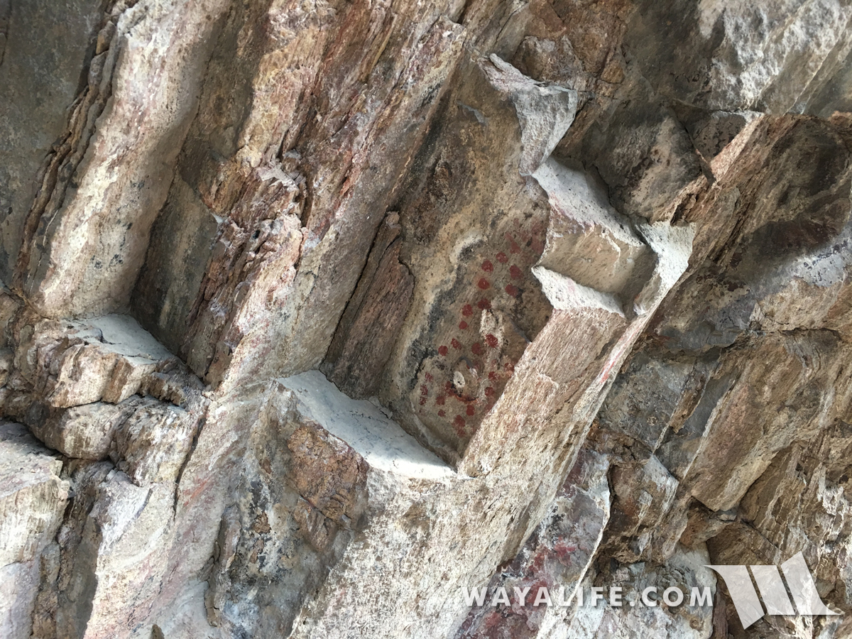
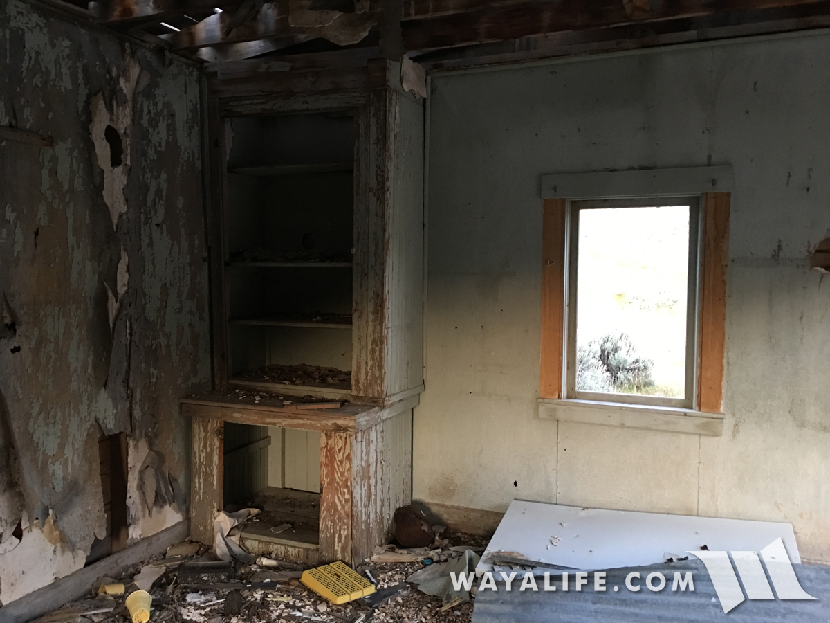
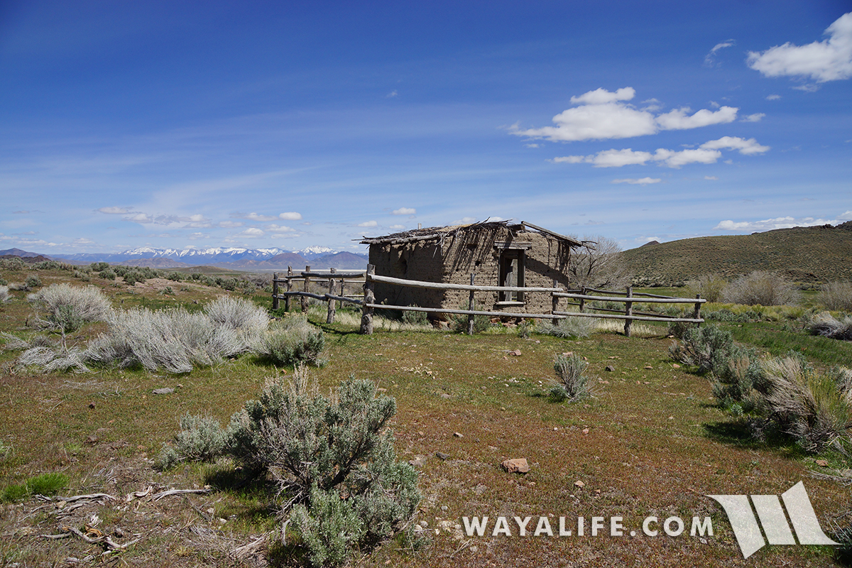
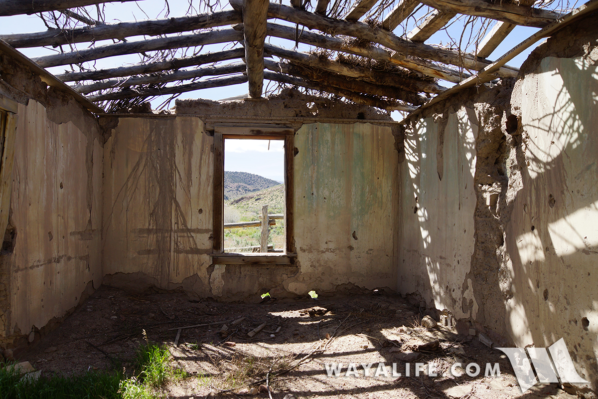
Being out in the middle of nowhere and on a working ranch, the old Smith Creek Station was in remarkable condition especially for being made out of adobe bricks.
20170505134630-22d47e47.jpg


20170505134635-84727d00.jpg


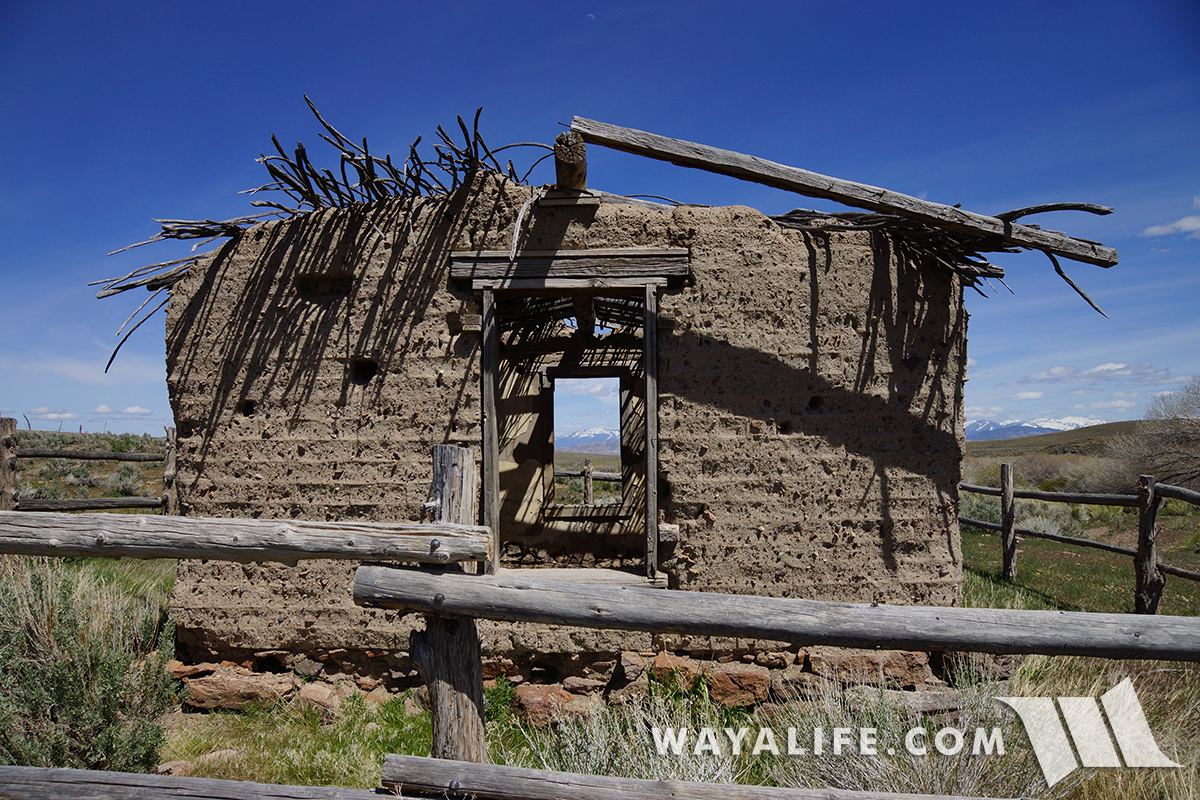
You can see much of the original plaster was still on the walls and amazingly, graffiti free.
20170505134644-faa6236e.jpg


20170505134656-0b5fa0a7.jpg


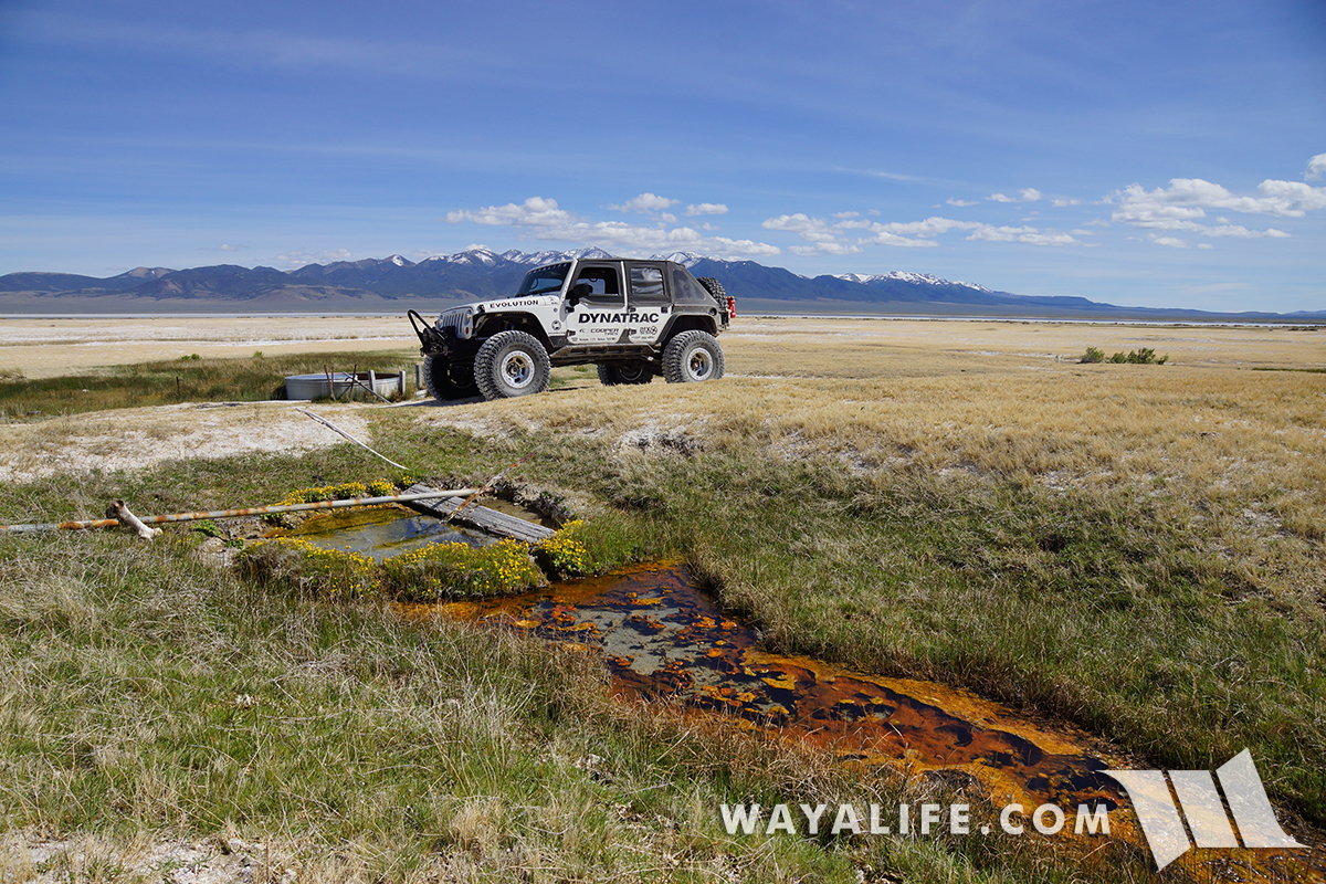
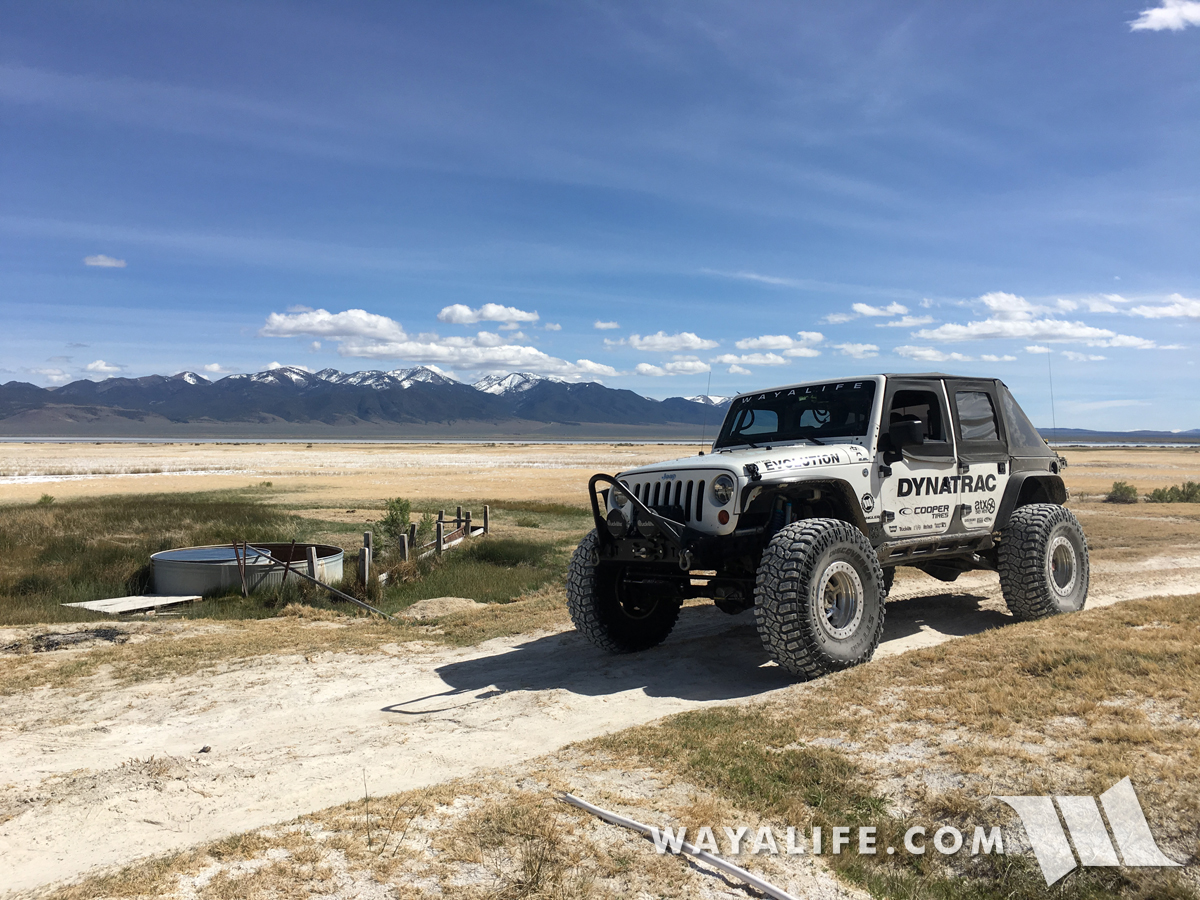
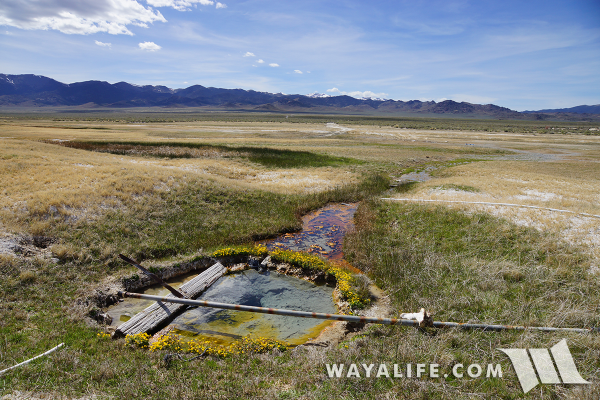
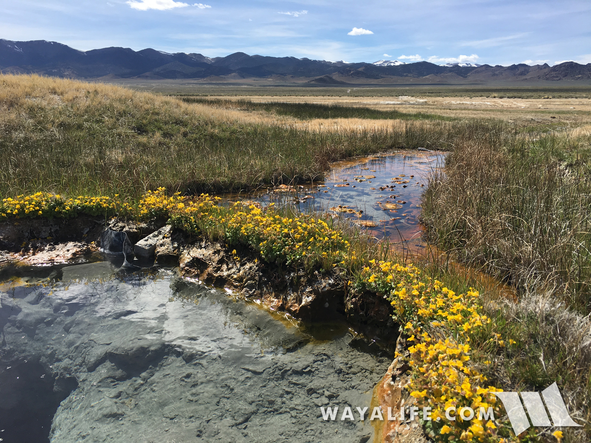
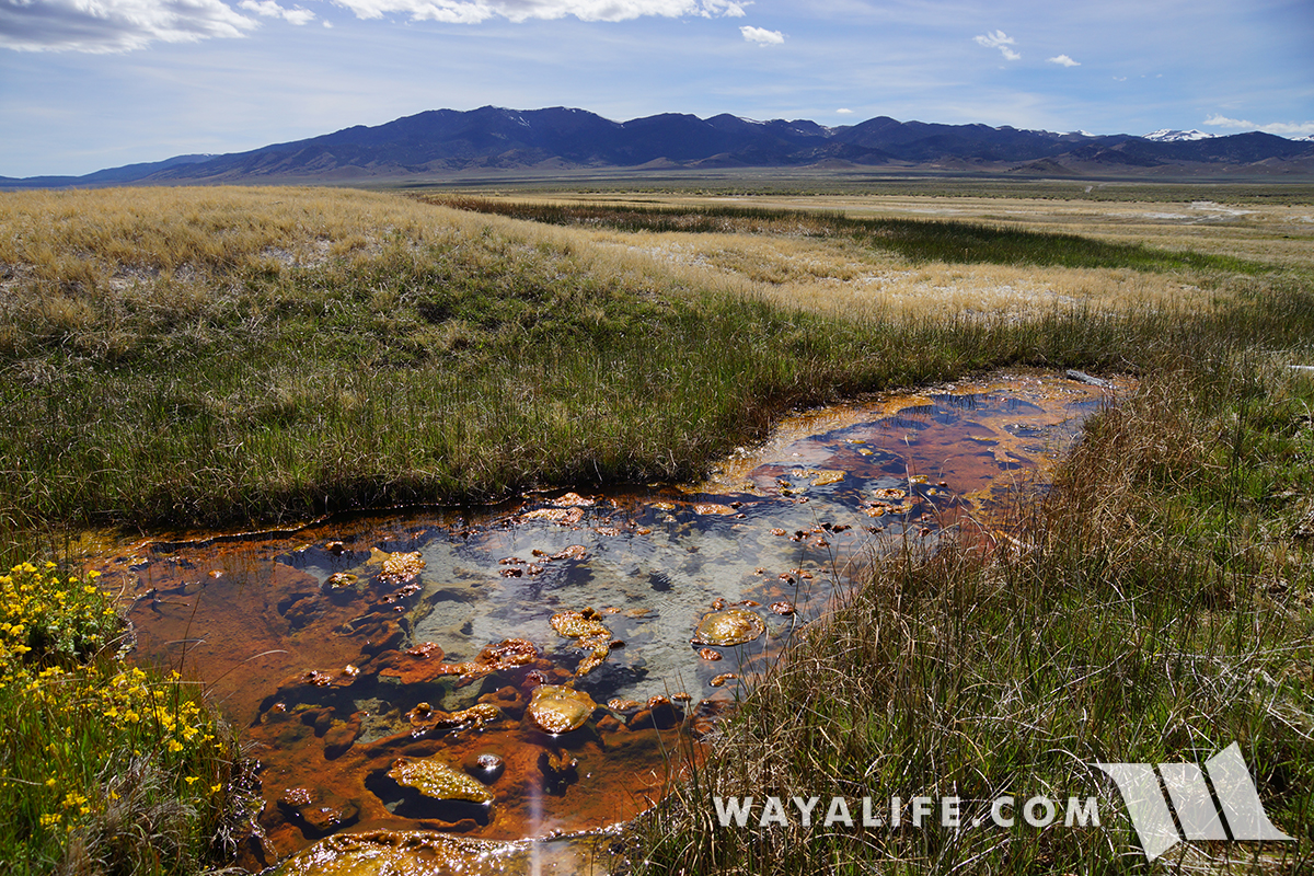
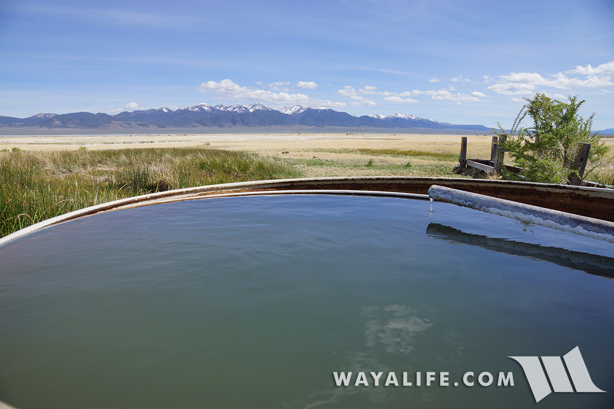
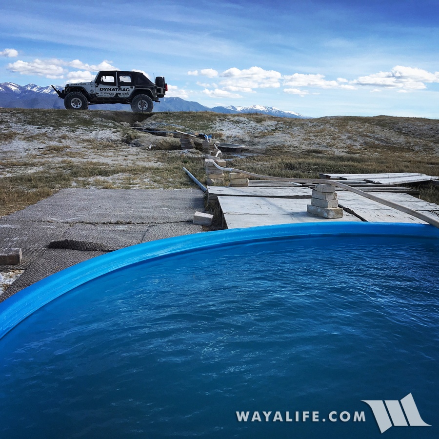
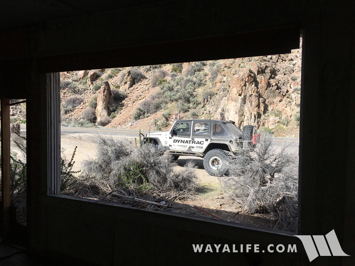
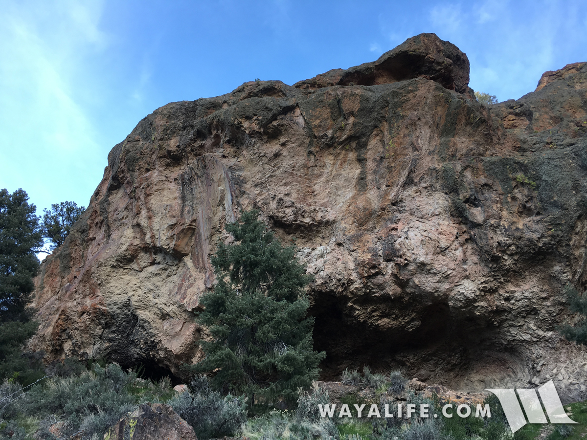
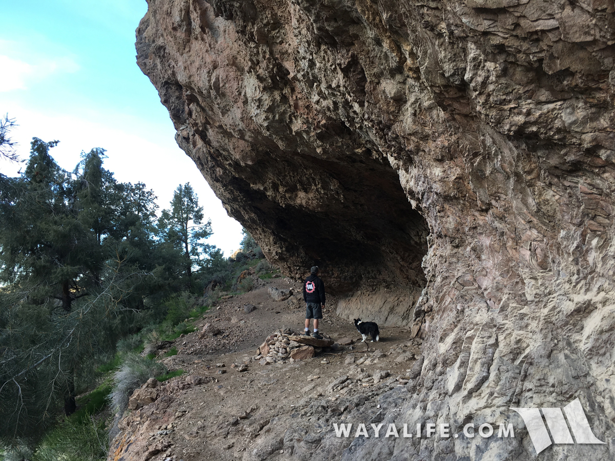
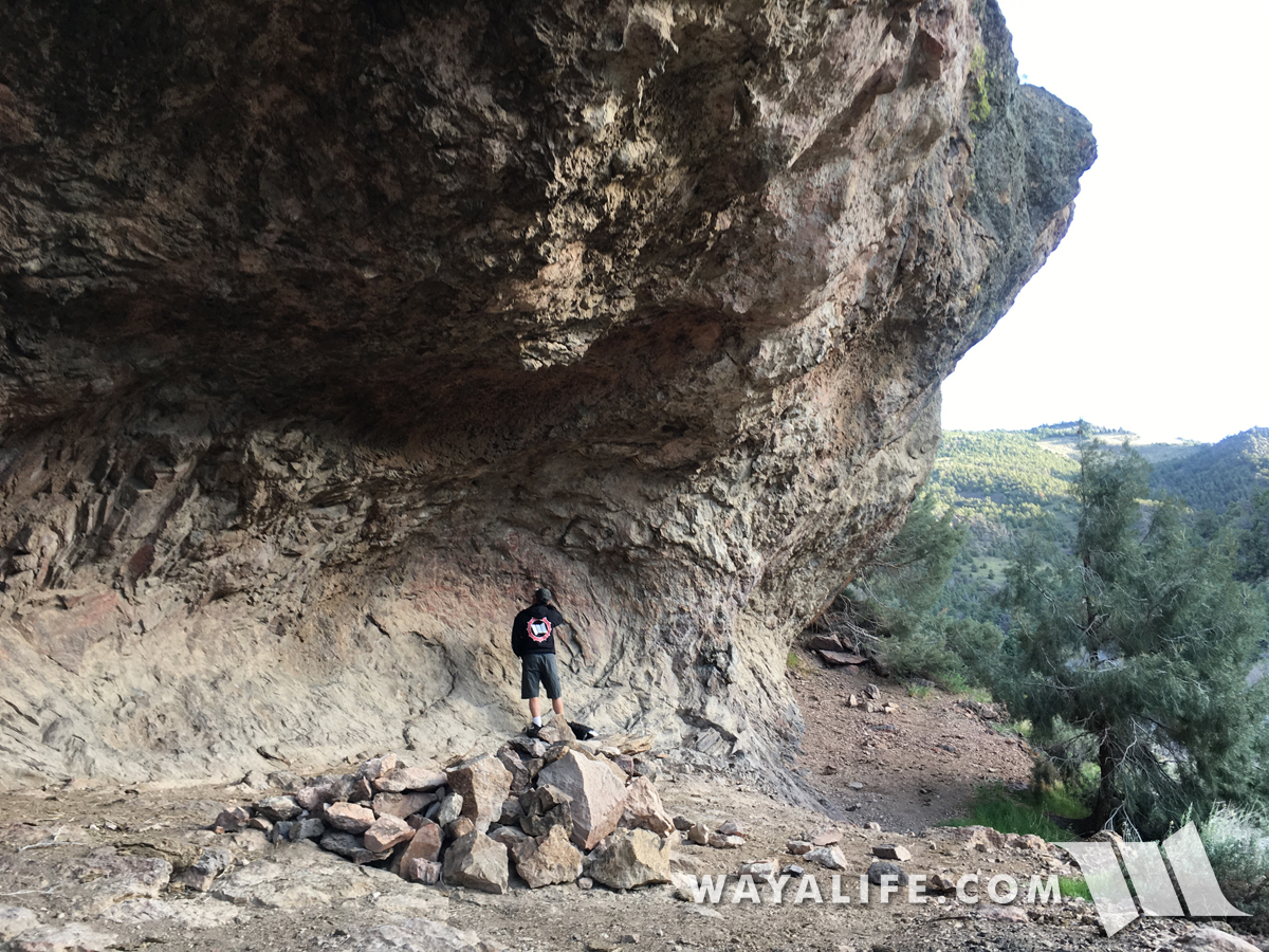
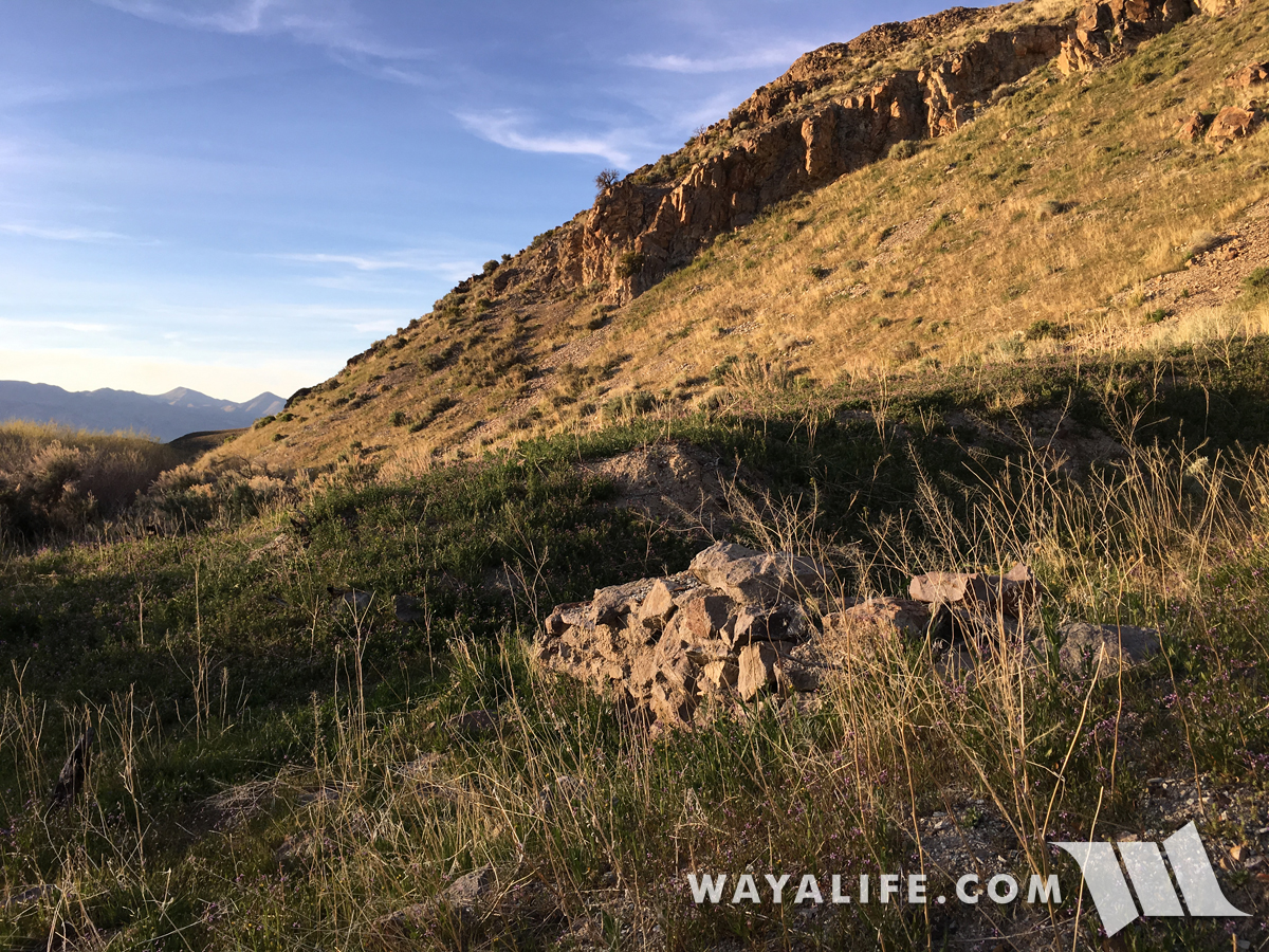
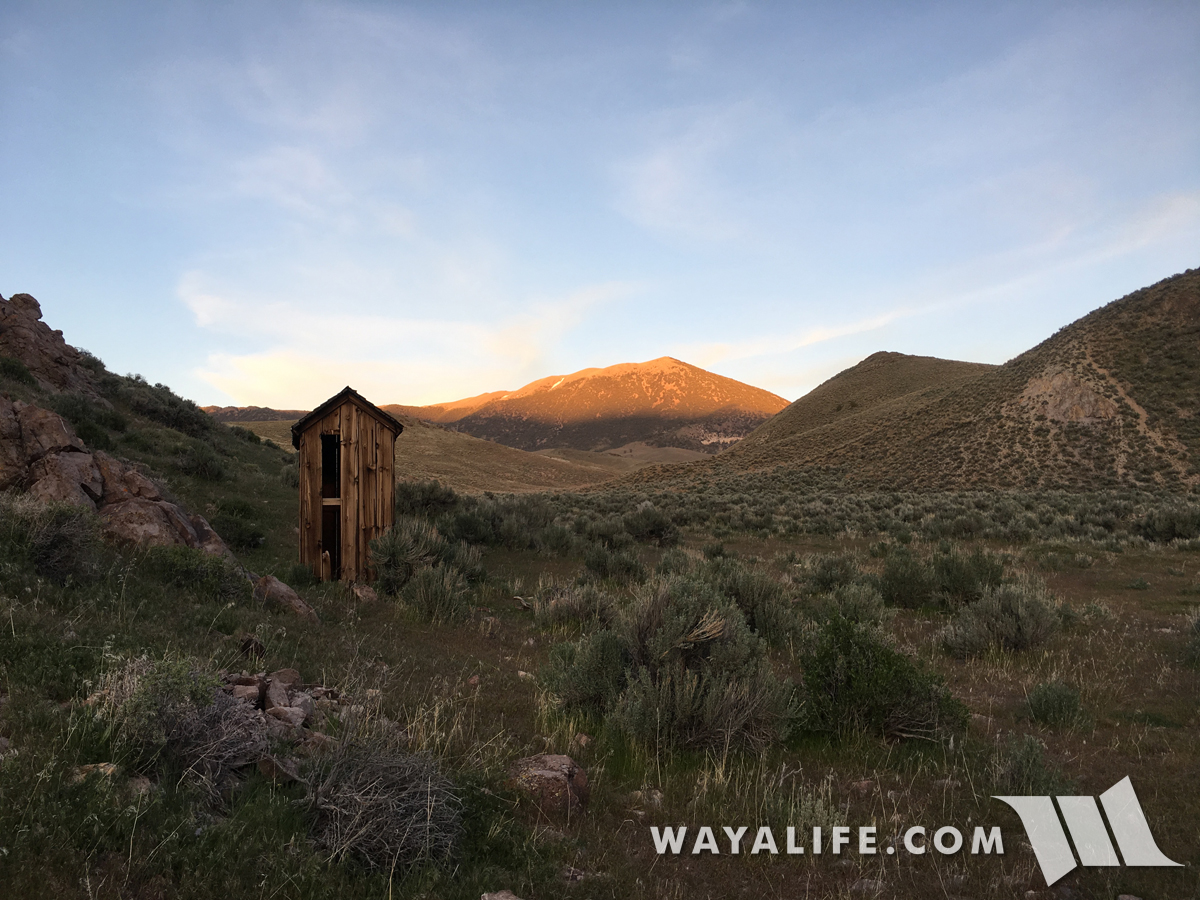
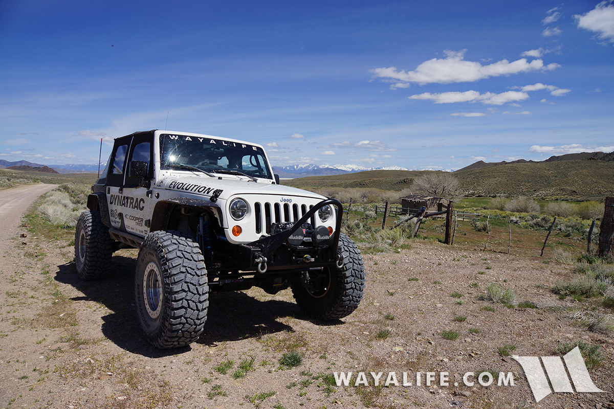
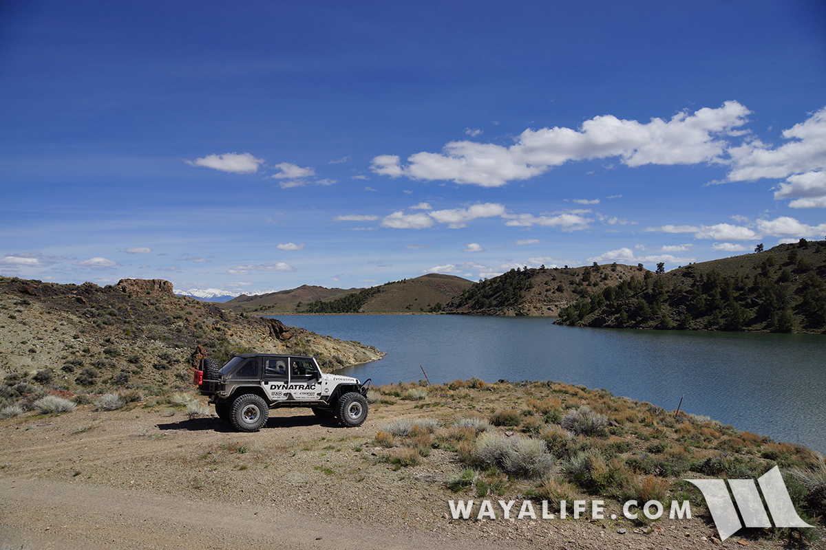
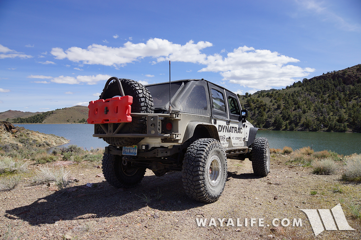
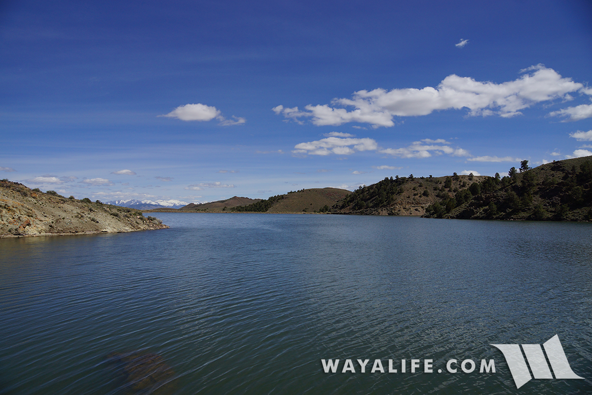
Unfortunately, cutting through a working ranch, the route is blocked up the canyon but we took it to the end just to see what was up there. Near the end, there is a nice reservoir that we stopped at to take in the view.
20170505134710-e6f7c14e.jpg


20170505134702-283246b1.jpg


20170505134721-78c449cb.jpg
 

wayoflife

Administrator
Staff member
Heading back out of the canyon and on our way to look for a way around the ranch.
20170505134726-515d9c46.jpg


It was nice to see spring was finally here.
20170505134729-3012b765.jpg


Back in the valley, we made a stop over at what we like to call, a "hippy tub" or natural hot springs.
20170505134807-de23ece2.jpg


20170505130515-f29bb419.jpg


Nevada boast more hot springs than any other state in the union and piping hot water can be found bubbling out of the ground in wonderfully remote locations just like this.
20170505134742-26bbb0fe.jpg


Because of the warmth emitting from the pool of water, Monkey Flowers have bloomed early along it's edges.
20170505130513-67fdb1fa.jpg


As the water cools just beyond, an archaic stew of brightly colored algae grows abundantly in the pools below.
20170505134804-f4cf6427.jpg


View from inside the tub and a constant supply of plumbed hot water flowing in.
20170505134824-5e62409d.jpg


This area has a lot of springs bubbling out of the ground and we decided to explore some of them.
20170505134855-86b5e2a9.jpg


It's impossible to show just how scalding hot the water coming out of the ground is but as you can see, absolutely nothing is alive just under the surface or that you can see anyway and all that remains is a dull gray mud bowl.
20170505134847-74cd3e5a.jpg


Some of the springs aren't as hot and in them, life is abundant and colorful.
20170505134843-277cc292.jpg


Guess the water didn't agree with this fella.
20170505134915-ca1fde7c.jpg


Here's a hot spring we came across that was crazy hot and if you look, you can even see steam coming off of it.
20170505131244-b13fa7b1-me.jpg


Like many of the hot springs in the area, hippies have plumbed it for their tubs.
20170505131252-b005d234-me.jpg


20170505131248-da18a4c4-me.jpg


20170505130542-f62baea1.jpg


And of course, a view of Moby from the tub.
20170505131240-4c310208-me.jpg


After our fun at the hot tubs, we made our way back to pavement and stopped over at Carroll Station.
20170505130633-7942ffa5.jpg


Back in 1924, the Lincoln Highway was rerouted over Carroll Summit to bypass the old Overland Trail and cut the travel time between Austin and Eastgate by about 15 minutes. Carroll Station was built during this time and it served as a gas station, cafe and bar. Unfortunately, new highway improvements made in 1966 relocated the the route back to Cold Springs and it was just a matter of time before this welcomed old rest stop saw its end.
20170505130639-d1f216d6.jpg


20170505130641-47b40079.jpg


20170505130646-a0e9c5da.jpg


20170505130650-f3dede75.jpg


20170505130653-8f15d23f.jpg


Even though it was starting to get late in the day, Cindy and I decided to explore a possible route through the Desatoya Range that could get us back on the Central Overland Route and on the other side of the ranch.
20170505130717-ddd25916.jpg


Need I say, it was beautiful back in here.
20170505130722-684f015d.jpg


20170505130708-c2e491dd.jpg


20170505130714-f7584999.jpg


Working our way up the canyon, the trail started to become narrower and more rutted out.
20170505130733-8b35ec76.jpg


Although you can't really see it here, the trail also started to get quite steep and rocky.
20170505130739-d24efa7e.jpg


20170505130747-84666483.jpg


Up and over the summit!
20170505130801-d949f40b.jpg


20170505130804-c8ac6c2a.jpg


Wouldn't you know it - there's still snow drifts up here... ones that nobody has crossed and on a slope too.
20170505130808-514af300.jpg


With the sun getting lower on the horizon and fewer miles to go forward than back, we decided to slowly crab walk our way across the drift. Hopefully the trail will be open on the other side because having to coming back this way would really suck.
20170505130831-2899ca2f.jpg


Hooray - we made it! The Central Overland Trail was just ahead too.
20170505130838-3f71af8c.jpg


Thanks to all the snow melt, we literally had to ford creeks like this about two to three dozen times on this route.
20170505130847-b1d42403.jpg


20170505130841-d3edb4fc.jpg


I honestly have no idea what this cabin was but it looked old and was cool to check out.
20170505130856-d5a30f3a.jpg


Making a stop to check out a nice little campsite.
20170505130902-0578718b.jpg


20170505130906-25ae45d4.jpg


With the sun dropping below the mountains, we decided to take a short trip up a brushy side route to see some pictographs painted in an ancient cave.
20170505131036-c2e77112.jpg


20170505131030-9fa2c12a.jpg


20170505131023-5e282770.jpg


Tessa and I in the massive but shallow cave examining the pictographs.
20170505131018-0b3278c7.jpg


20170505130943-591c8a24.jpg


Unlike petroglyphs which are images pecked out of the rock, pictographs are painted on with pigments.
20170505130917-d4bf2ca9.jpg


20170505130923-74d5364d.jpg


20170505130926-f784ef3b.jpg


20170505130938-1475f8d0.jpg


Back on the Central Overland Trail, we made a stop at another Pony Express Station but unlike the last one, little remained of the Edwards Creek Station.
20170505131113-a94928b4.jpg


20170505131125-3eb793fc.jpg


20170505131055-01fd1cf1.jpg


20170505131042-ef1ced23.jpg


A page from Ada Millington's diary written on August 17, 1862.
20170505131123-8c1428ca.jpg


Making our way down the trail.
20170505131127-900b0ef9.jpg


Unfortunately, even though it showed up on my maps, I couldn't tell you what this old cabin was for but it sure looked like it could have been built in the late 1800's.
20170505131144-00c04184.jpg


20170505131149-070bfb77.jpg


20170505131208-97f6b51e.jpg


Not like you really need the privacy out here but, there was a nice little outhouse for the cabin.
20170505131151-4003a0a6.jpg


Just a few miles ahead was Highway 50 and sadly, the end of our adventures - at least, for the day anyway.
20170505131204-8dfbff59.jpg


I hope you enjoyed following our adventures exploring a portion of the old Pony Express Route and the rugged desert and mountains of Northern Nevada. :cool:
 

ROBnTANK

Member
Eddie and Cindy, thanks for taking us along with your adventures. If you ever decide to have a group run I'm all in. Such a vast amount of land to explore out there. Thanks again!!


Sent from my iPhone using WAYALIFE mobile app
 

cozdude

Guy with a Red 2-Door
Such and awesome trip! Thanks for sharing!

So the true question is, how hot was the tub?
 

pop2tu

Active Member
I just love the fact that you can give so much of the history about these trip. Thank you for sharing
 

NevadaZielmeister

Caught the Bug
I really appreciate the play by play descriptions. The photos are really great and almost bring you there. Thank you Cindy and Eddie for all that you do for this forum.

Forgive if it was obvious, but how long did this run take?
 

Battle Born JK

New member
Hey Eddie whats up bro next time your in my home country let me know id be willing to show you some spots. Its great out here.
 

Ortiz73ca

Member
Awesome Exploring Old Trails

Wow all that you guys get to see is awesome. I definitely need to get out, was wondering if there are books and maps that show old trails like this?
 

wayoflife

Administrator
Staff member
Eddie and Cindy, thanks for taking us along with your adventures. If you ever decide to have a group run I'm all in. Such a vast amount of land to explore out there. Thanks again!!

Trips like this, one where it's just the two of us, we consider them to be vacations. That being said, a lot of these trips do end up being pre-runs for group trips :cool:

That's a good trip. Lots of stuff to see.
Surprised water wasn't more of an issue.
Nice trip report too.

Well, there were a few spots toward the end where water and deep mud was in issue and enough so that it almost was a problem for us. Unfortunately, I was only able to take a couple of aftermath pics.
20170505131231-23f11590.jpg


20170505131237-c46308c0-me.jpg


This is one of my fav things about way of life!

Glad to hear it. It's trips that this that we're most passionate about. :yup:

Such and awesome trip! Thanks for sharing!

So the true question is, how hot was the tub?

LOL!! The tubs were really nice :cool:
 

briand

Member
What an amazing trip. Next time we are in Nevada, we are going to have to check out some of these trails! Thanks for sharing your adventures


Sent from the never ending trail
 

wayoflife

Administrator
Staff member
I just love the fact that you can give so much of the history about these trip. Thank you for sharing

I'm so glad that you enjoy the history. There are times where I'm afraid that I'll just bore people with it being that so many people just want to see badass wheeling. :)

I really appreciate the play by play descriptions. The photos are really great and almost bring you there. Thank you Cindy and Eddie for all that you do for this forum.

Forgive if it was obvious, but how long did this run take?

We got started at about 7am and didn't get home till almost midnight.

Hey Eddie whats up bro next time your in my home country let me know id be willing to show you some spots. Its great out here.

Definitely need to get some local exploring in :yup:

Wow all that you guys get to see is awesome. I definitely need to get out, was wondering if there are books and maps that show old trails like this?

I love used book stores and I do have a collection of old books and paper maps that I do reference. God willing, this information will NEVER find itself on the internet.
 
Top Bottom